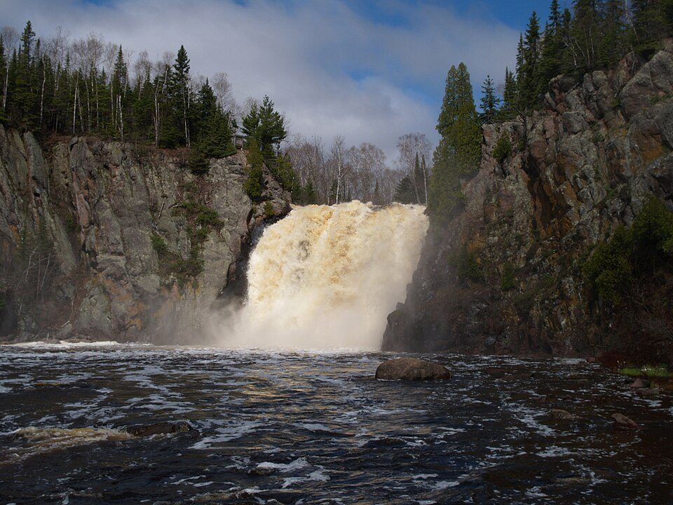
Tettegouche State Park
Tettegouche State Park ( TET-ə-gooch) is a Minnesota state park on the north shore of Lake Superior 58 miles (93 km) northeast of Duluth in Lake County on scenic Minnesota Highway 61. Locally, it belongs to Beaver Bay Township. It dates from 1979.

A state park inside Beaver Bay Township
Winters are cold
January nights drop to 0°, with about 94" of snow a year. When to go ↓
You can stay in Beaver Bay Township
Tettegouche State Park is inside Beaver Bay Township, which has 6 places to stay, so you won’t need a base farther out. Where to stay ↓
Best months: Jun, Jul, Aug and Sep
June, July, August and September are the mild months, with highs of 65–76°. When to go ↓
Established in 1979
Tettegouche State Park dates from 1979. About ↓
Written from NOAA 1991–2020 normals, Overture places to stay, Census town figures, Wikidata and Wikipedia.
The year’s weather
This is the year’s weather near Tettegouche.
Tettegouche State Park
Tettegouche State Park ( TET-ə-gooch) is a Minnesota state park on the north shore of Lake Superior 58 miles (93 km) northeast of Duluth in Lake County on scenic Minnesota Highway 61. The park's name stems from the Tettegouche Club, an association of local businessmen which purchased the park in 1910 from the Alger-Smith Lumber Company. The club's members protected the area until its sale in 1971 to the deLaittres family. In 1979, the state of Minnesota acquired 3,400 acres (1,400 ha) from the Nature Conservancy, including Tettegouche Camp. The land was added to Baptism River State Park, which was renamed Tettegouche State Park.
- Type
- State park
- Established
- 1979
- Area
- 15 square miles
- Listed
- National Register of Historic Places (1989)
- Wikipedia readers
- 6.6K a year
Lodging near Tettegouche State Park
The closest lodging is in Beaver Bay Township (6) and Silver Bay (3).
Compare 7 towns
| Town | From Tettegouche | Drive | Places to stay | People | Typical home | Safety |
|---|---|---|---|---|---|---|
| Beaver Bay Township 33% vacation homes | in town | — | 6 1 inn or B&B · 3 lodges & cabins · 2 campgrounds | 523 | $294K | — |
| Silver Bay | 5 mi southwest | 5 min | 3 1 hotel · 1 motel · 1 campground | 1,767 | $159K | A |
| Beaver Bay 31% vacation homes | 7 mi southwest | 10 min | 3 1 hotel · 1 lodge or cabins · 1 campground | 124 | $238K | — |
| Silver Creek Township 51% vacation homes | 20 mi west | 30 min | 13 3 hotels · 3 inns & B&Bs · 6 lodges & cabins · 1 campground | 1,222 | $370K | — |
| Crystal Bay Township 29% vacation homes | 20 mi north | 30 min | 3 1 lodge or cabins · 2 campgrounds | 450 | $221K | — |
| Stony River Township 74% vacation homes | 28 mi northwest | 40 min | 7 5 lodges & cabins · 2 campgrounds | 176 | $213K | — |
| Schroeder Township 54% vacation homes | 27 mi northeast | 40 min | 4 1 motel · 1 lodge or cabins · 2 campgrounds | 177 | $406K | — |
Getting there
Nearest airports with airline service
Beyond Tettegouche
All of these are within 64 miles.
 112 mi LighthouseSplit Rock Lighthouse
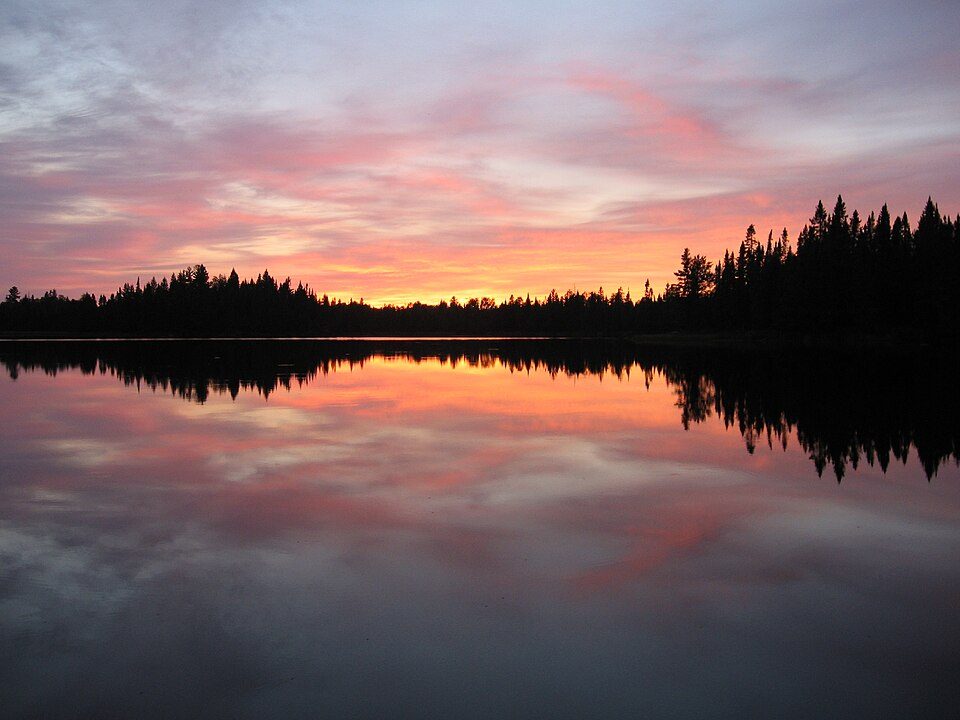 33 mi Park & preserveBoundary Waters Canoe Area Wilderness
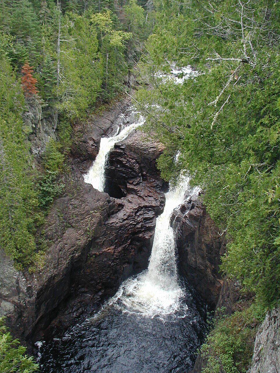 64 mi State parkJudge C. R. Magney State Park
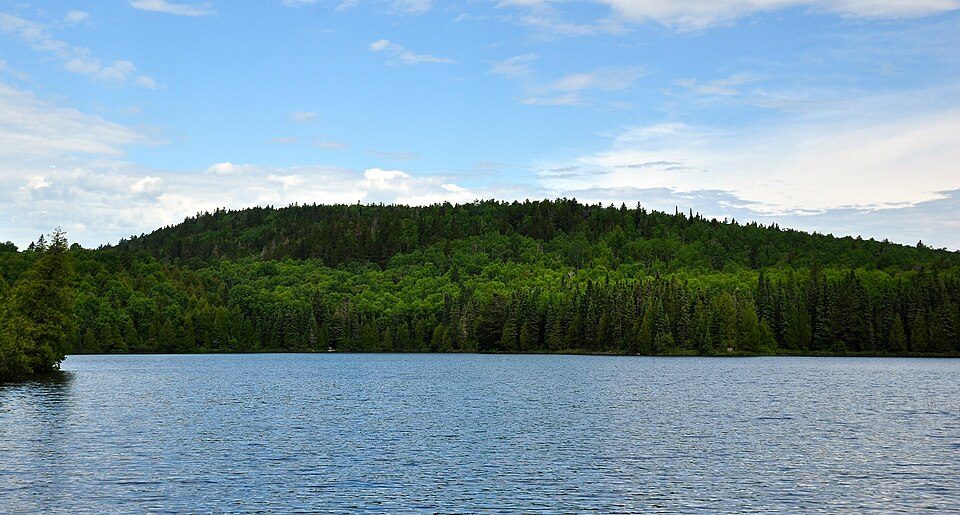 49 mi MountainEagle Mountain
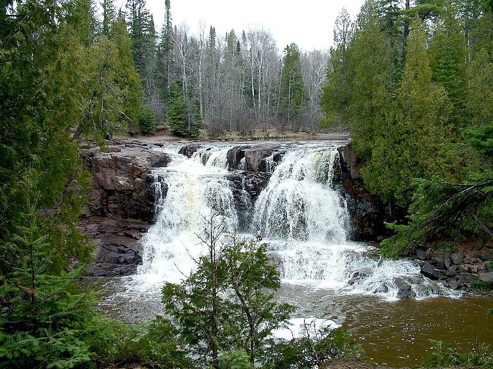 218 mi State parkGooseberry Falls State Park
 36 mi National LakeshoreApostle Islands National Lakeshore261K visitors a year
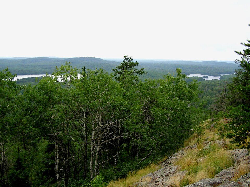 37 mi National forestSuperior National Forest32 mi Ski areaLutsen Mountains76 runs · 787 ft vertical
Photo credits
Split Rock Lighthouse: Jim Sorbie, CC BY 2.0 · Boundary Waters Canoe Area Wilderness: R27182818 at English Wikipedia (Original text: Reid Priedhorsky (R27182818)), CC BY-SA 3.0 · Judge C. R. Magney State Park: Chris857, CC BY-SA 3.0 · Eagle Mountain: Skye Marthaler, CC BY-SA 3.0 · Gooseberry Falls State Park: Chuck Kochmann, Copyrighted free use · Apostle Islands National Lakeshore: NPS Photo, Public domain · Superior National Forest: No machine-readable author provided. MisterSquirrel~commonswiki assumed (based o, Public domain


Asked about Tettegouche
Is Tettegouche State Park in Beaver Bay Township?
Yes. It’s inside Beaver Bay Township, MN.
When is the best time to visit Tettegouche State Park?
June, July, August and September, with highs of 65–76°.
What is the closest airport to Tettegouche State Park?
Duluth (DLH), about 58 miles away. The nearest big hub is Minneapolis–Saint Paul International Airport / Wold–Chamberlain Field (MSP), about 195 miles.
Where should I stay near Tettegouche State Park?
Beaver Bay Township (in town, 6 places to stay), Silver Bay (5 mi, 3 places to stay) and Beaver Bay (7 mi, 3 places to stay).
Inside knowledge from Beaver Bay Township
What people nearby have posted about Tettegouche.
Sources: National Park Service · ski areas © OpenSkiMap / OpenStreetMap contributors · Wikidata · Wikipedia readership · NOAA climate normals · U.S. Census.