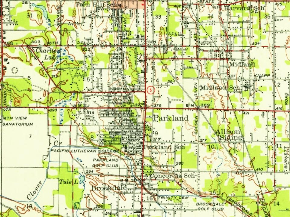
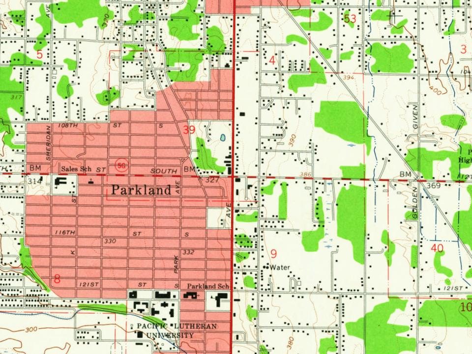
Parkland’s post office opened in 1891, and 4 of its places are on the National Register
More historic than 45% of U.S. towns · #74 of 285 in Washington. What drives it
Most of Parkland was built recently: 5% of its homes predate 1940 and the median home dates from 1979. Below: 11 old photos and papers, maps from 1941 on, and the census since 1970.
Founding year: the first Parkland post office (Blevins & Helbock, CC0).
History grade
What drives Parkland’s History grade
On its age, its old homes and the National Register, Parkland is more historic than 45% of U.S. towns, #74 of 285 in Washington. Its National Register listings hold the grade up; its share of homes from before 1940 pulls it down.
B−
HistoryA character grade: shown, never part of Parkland’s overall grade.
Few Washington towns list much on the Register (a typical Washington town has 0.1 per 10,000 residents, the U.S. 2.4), so Parkland’s 2.6 sits above most of its state (68% of Washington towns have fewer) while its 10 historic buildings outnumber those of 76% of U.S. towns.
How sure. Graded on any two of the three inputs instead, the letter would range from C to B. The pre-1940 share (±2.0 points) is firm at this size. The founding year is the first post office, not a stated founding date.
Founding year: the first post office (other dates in Quick answers). Homes: Census ACS 2020–24. National Register: National Park Service, May 2026 list; each listing counted once (boundary changes and added documentation belong to their listing), and a historic district counts its contributing buildings. How TownRatings grades history →
What stands out about Parkland’s past
Read from the archive, the National Register and the record. The page puts what stands out first.
Lost post offices, old corners, places now gone and burying grounds
Parkland had its own post office from 1891 to 1954.
Parkland
1891–1954
18901960today
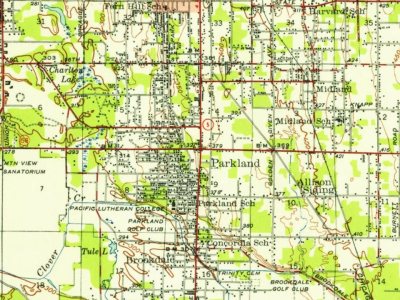
Hamlets and corners on the map
Brookdale Greens Mobile Home ParkCharleton Lake Estates Mobile Home ParkClover Creek Trailer CourtFairlane Terrace Mobile Home ParkFirwood Mobile Home ParkMiller's Villa Mobile Home ParkMobile ManorOne Hundred Thirty - Eighth Park Mobile EstatesParkland Mobile VillagePinecrest Mobile Home Park
Gone or out of use
Mary Mount Military Academyschool
1cemetery inside Parkland
Trinity Lutherian
US Post Offices dataset (Blevins & Helbock, CC0). Places and cemeteries from the USGS Geographic Names Information System (2021).
On the National Register
4 historic places in Parkland
The country’s official list of buildings and places worth saving.
National Park Service, National Register of Historic Places. Photos from Wikimedia Commons, credited on each place’s page.
The story so far
Parkland, in brief
Wikipedia doesn’t have a history of Parkland yet. The photos, dates and memories neighbors add here are how it gets written.
Parkland is a census-designated place (CDP) in Pierce County, Washington. The population was 35,803 at the time of the 2010 census and had grown to 38,623 as of the 2020 census. It is an unincorporated suburb of the city of Tacoma and is home to Pacific Lutheran University. Parkland borders most of Tacoma's southern cutoff at 96th St, and borders with much of the northern cutoff of Spanaway, Washington, at 152nd St (or Military Rd E). The most influential motorway is State Route 7/Pacific Ave, which travels north and south, and leads from Interstate 5 in Tacoma all the way to Mount Rainier. Pacific Ave is also a main commercial corridor through much of the county, including Parkland. It was…
Its first post office opened in 1891. Between the 2010 and 2020 censuses its population grew from 35,803 to 38,623 (+8%).
Intro from Wikipedia. Population: U.S. Census Bureau.
From the old history books
What they wrote about Parkland in 1927
Passages that mention Parkland, cut from the printed page as they were published.
History of Pierce County Washington1927 · page 217Read the page →
Read the text
cessful that Mr. Mann sold the dairy and devoted his attention entirely to the florist business. They remained in Tacoma until 1891, when they moved to Larchmont (now a part of Tacoma) and operated their greenhouses there until 1899, when they went to Parkland, where they were in the same business two years. In 1901 Mr. Mann came to Puyallup, established his greenhouses and for over twenty-five years has held a commanding place in the florist business, although he does not at present engage in growing. He has a splendid equipment for the successful handling of his enterprise and has found it both a profitable and a pleasant vocation.
Text read by machine from the scan; it may contain errors.
Scans and text from the Internet Archive. Books published in 1930 or earlier, which are in the public domain.
Timeline
Parkland, 1891 to 1954
Woven from the archive, old maps, post office records, the National Register and the people born here.
Nothing in the archives for these yearsWeddings on Main Street, storms, parades, school pictures, the old store. If it’s in your family album, it belongs here.
The Parkland post office opened in 1891, the earliest record of the town by name (U.S. post office records).
How does Parkland rank for history?
Parkland is more historic than 45% of U.S. towns, #74 of 285 in Washington. The History grade combines the town’s founding era, the share of homes built before 1940 and its National Register listings. It’s a character grade, so it isn’t part of the overall grade. How it works.
What is on the National Register in Parkland?
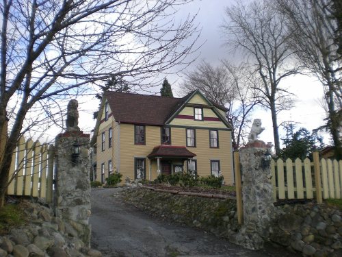
4 listings: 4 buildings, among them the Old Main (listed 1984, the first). 10 historic buildings in all.
How old are the homes in Parkland?
5% of Parkland’s homes were built before 1940 (Census estimate, ±2.0 points), against a typical 4.3% for a Washington town; the median home was built in 1979.
Founding dates: Wikidata, Wikipedia, the U.S. post office records of Blevins & Helbock (CC0) and the Census. Homes by year built: Census ACS 2020–24. National Register of Historic Places: National Park Service (list of May 22, 2026). Old photos, postcards and papers: Wikimedia Commons, the Library of Congress and other public archives, credited on each item’s page. Maps: U.S. Geological Survey historical topographic maps (via Esri) and Sanborn fire-insurance maps (Library of Congress). History text and census tables: Wikipedia (CC BY-SA 4.0). Places that used to be: USGS Geographic Names Information System (2021).
From Wikimedia Commons (11), the National Register of Historic Places (4), U.S. Geological Survey historical maps, U.S. Census counts (via Wikipedia), the US Post Offices dataset (Blevins & Helbock), the USGS Geographic Names Information System and old county and town histories (Internet Archive). Archive images are copied here with their credits and licenses, shown on each photo’s page. Refreshed monthly.

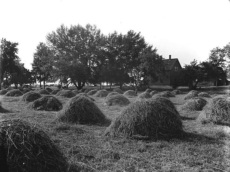

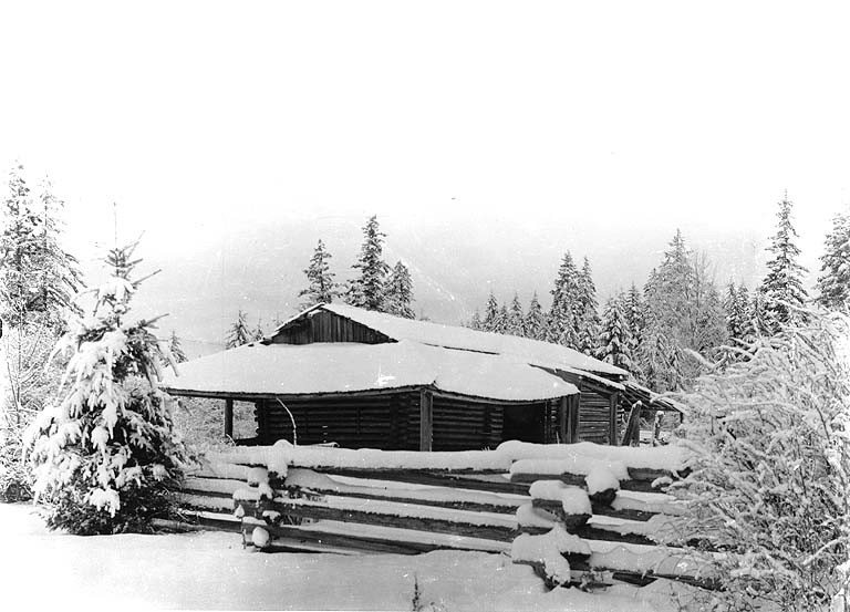




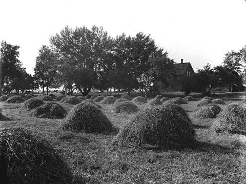 c. 1906
 c. 1906
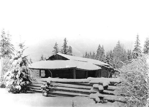 c. 1906
 c. 1907
 c. 1908
 c. 1908
 c. 1910
 c. 1910
 c. 1910