154 years in pictures
The archive holds 1 old photo or paper and 3 maps from 1940 on.
1 place on the National Register of Historic Places.
- 1872Grays River is settled
Each edition grades its towns against each other only.

Today 195 people live in this town, first settled in 1872.
Grays River’s median age is 57.8 years, above both the Washington town median (38.5 years) and the median of U.S. towns (40.5 years). Grays River Covered Bridge is on the National Register of Historic Places. Grays River has fewer than 1,000 residents, too few for fair grades; the figures below are still real.
Coastal flooding makes up 16% of the storm damage FEMA expects here.
FEMA National Risk Index · OpenFEMA · OpenStreetMap
The archive holds 1 old photo or paper and 3 maps from 1940 on.
1 place on the National Register of Historic Places.
Grays River is unincorporated, so Wahkiakum County and regional agencies provide most services.
EPA SDWIS (Oct 9, 2026) · HIFLD + EIA-861 2025 · Census 2020 ZCTAs · NCES 2024–25 · registration: vote.gov, updated Sep 30, 2026.
Ordered by what stands out in Grays River.
37% of Grays River adults 25 and older hold a bachelor’s degree or more.
Somewhere between 22% and 55% women
The Census survey reached too few of Grays River’s residents to say more: its margin here is ±16.4 points. Across Washington, 49.6% of residents are women.
| Grays River | WA | U.S. | |
|---|---|---|---|
| Under 10 | 0% | 11.5% | 11.6% |
| 10 to 17 | 0% | 9.9% | 10.3% |
| 18 to 24 | 23.1% | 8.5% | 9.1% |
| 25 to 34 | 0% | 15.2% | 13.7% |
| 35 to 44 | 5.1% | 14.3% | 13.2% |
| 45 to 54 | 9.2% | 12% | 12.2% |
| 55 to 64 | 28.2% | 12% | 12.7% |
| 65 to 74 | 19% | 10.1% | 10.2% |
| 75 and older | 15.4% | 6.5% | 7% |
| No diploma | 4.7% | 7.7% | 10.4% |
| High school | 23.3% | 21.6% | 26% |
| Some college | 13.3% | 21% | 19.1% |
| Associate’s | 21.3% | 10% | 8.8% |
| Bachelor’s | 15.3% | 24% | 21.6% |
| Graduate | 22% | 15.6% | 14.1% |
U.S. Census Bureau · ACS 2020-2024 5-year estimates · in a town of 200, single groups can be off by several points
Of the losses FEMA expects in Grays River, 34% come from tsunamis and 30% from inland flooding. Compared with 86% of U.S. communities, expected storm and flood damage locally is higher. Federal disaster aid has reached households in Grays River after 3 declared disasters, most recently in 2009.
FEMA disaster declarations and aid · FEMA National Risk Index · OpenFEMA
The top destinations are Cathlamet (13%), Longview (11%) and Portland (7%). The average trip to work for Grays River comes to 32 minutes. For half of commuters, work is under 37 miles away. In Grays River, 16% of residents live below the poverty line.
| Grays River | Washington towns | U.S. towns | |
|---|---|---|---|
| Average trip to work | 32 minutes | 27 minutes | 25 minutes |
| Below the poverty line | 16% | 7.9% | 9.6% |
Census LEHD 2023 · ACS
For Grays River, the typical July afternoon high is 74°F.
NOAA U.S. Climate Normals, 1991–2020
For adults in Grays River, the share who sleep under 7 hours is 32%. Only 6 of the 286 Washington towns we compare have a higher share of adults who have diabetes than Grays River. Of 31 CDC measures, Grays River beats the Washington average on 2 and trails it on 17.
| Grays River | Washington towns | U.S. towns | |
|---|---|---|---|
| High blood pressure (CDC PLACES) | 42% | 31% | 35% |
| Frequent physical distress (CDC PLACES) | 17% | 13% | 14% |
| Diabetes (CDC PLACES) | 14% | 9.8% | 12% |
| Obesity (CDC PLACES) | 40% | 33% | 35% |
| What stands out | Grays River | WA |
|---|---|---|
| More adults treating high blood pressure | 77.4% | 70.7% |
| More adults getting cholesterol checked | 86.3% | 84% |
| More older adults who have lost all their teeth | 17.8% | 9% |
CDC PLACES 2025 · modeled estimates for adults · CMS · HRSA
The biggest park or preserve is Hendrickson Canyon Natural Resources Conservation Area, at 157 acres. Count the trails in 2 parks and preserves and they come to 7.1 miles. The trail network density in Grays River is 0.4 miles per square mile.
| Grays River | Washington towns | U.S. towns | |
|---|---|---|---|
| Miles of trail per square mile | 0.4 miles per square mile | 0.8 | 0.4 |
| Conserved land | 3.8% | 4% | 4.3% |
| Biggest places to walk | Trails | Acres |
|---|---|---|
| 1. Hendrickson Canyon Natural Resources Conservation Area | — | 157 |
| 2. Satterlund Water Access | — | 9 |
Trails & parks © OpenStreetMap contributors · Conserved land: USGS PAD-US
Among households in Grays River, 89% live in a home they own.
Census ACS, 2020–24 · Zillow Home Value Index · Redfin Data Center
Museums, parks, gardens and other places to visit around Grays River. Close and well known come first.
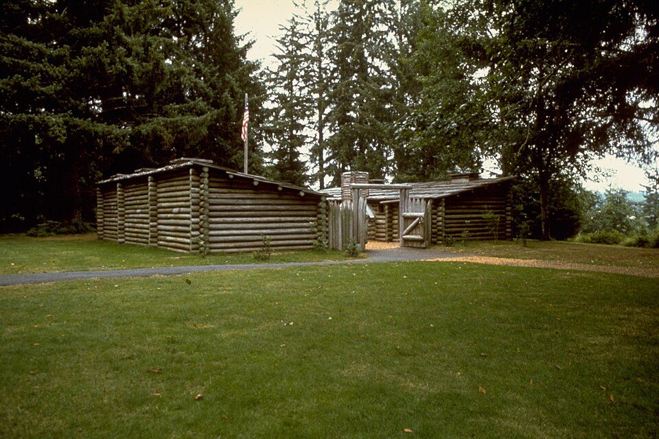
22 mi LandmarkFort Clatsop
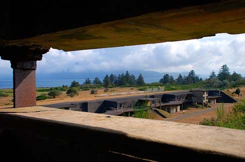
22 mi LandmarkFort Stevens
36 mi LighthouseTillamook Rock Light
17 mi LandmarkAstoria Column
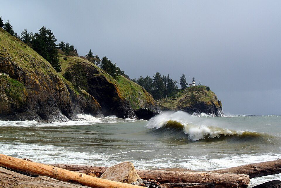
24 mi State parkCape Disappointment State Park
15 mi National Historical ParkLewis and Clark National Historical Park244K visitors a yearFort Clatsop: Glenn Scofield Williams from USA, CC BY 2.0 · Fort Stevens: Gary Halvorson, Oregon State Archives, Attribution · Tillamook Rock Light: Jwyoung, CC BY-SA 4.0 · Astoria Column: The original uploader was Decumanus at English Wikipedia., CC BY-SA 3.0 · Cape Disappointment State Park: Adbar, CC BY-SA 3.0 · Lewis and Clark National Historical Park: National Park Service Digital Image Archives, Public domain
None within 15 miles of Grays River; the nearest are
About 0 of every 100 Grays River residents are enrolled in college, against 6 across Washington.
In a town this size, neighbors are the best guide. Ask them anything.
CDP in Washington, United States
Grays River is a census-designated place (CDP) in Wahkiakum County, Washington. Grays River stands on the north bank of the lower Grays River, which flows into the Columbia River Estuary. As of the 2020 census, Grays River had a population of 248. The Grays River community is part of the Naselle-Grays River Valley School District, a K-12 school district of about 670 students. The National Register of Historic Places-listed Grays River Covered Bridge crosses the Grays River in the community. It is the only such bridge still in use in Washington.
From Wikipedia, licensed CC BY-SA 4.0 · facts via Wikidata (CC0)
Short answers, built from the data on this page.
Grays River has fewer than 1,000 residents, too few for fair grades; the figures below are still real.