




The story so far
St. Albans, in brief
Wikipedia doesn’t have a history of St. Albans yet. The photos, dates and memories neighbors add here are how it gets written.
Between the 2010 and 2020 censuses its population grew from 5,999 to 6,988 (+16%).
Each edition grades its towns against each other only.
Its Register listing is the St. Albans Town Hall. Most of St. Albans was built recently: 7% of its homes predate 1940 and the median home dates from 1987. Below: 6 old photos and papers, maps from 1914 on, and old-book passages.
Read from the archive, the National Register and the record. The page puts what stands out first.
Every edition of the U.S. Geological Survey’s map of St. Albans. Tap a year, or press play to watch the town change.

U.S. Geological Survey historical topographic maps (public domain), via Esri’s collection of the scans. The red ring marks the center of St. Albans.
Wikipedia doesn’t have a history of St. Albans yet. The photos, dates and memories neighbors add here are how it gets written.
Between the 2010 and 2020 censuses its population grew from 5,999 to 6,988 (+16%).
Passages that mention St. Albans, cut from the printed page as they were published.

Railroads center at St. Albans from four directions, and the V illage has attained distinction in the railway world as the headquarters of the Central Vermont Railroad system. It is a notable fact that from the general offices of the management more miles of road are operated and a larger number of employes are directed than from the headquarters of any other railroad company in New England. The Central Vermont Railroad management control and operate nearly 800 miles of main line of road,
Text read by machine from the scan; it may contain errors.
Manufactures THE manufacturing interests of St. Albans give employment to a large number of persons. They include the car and railroad shops of the Central Vermont Railroad Co., the bridge works of the Vermont Construction Co., the extensive works of the St. Albans Foundry, the Willard Manufacturing Co., and several others, individual sketches of each of which follow. St. Albans should and must be a large manu-
Text read by machine from the scan; it may contain errors.Scans and text from the Internet Archive. Books published in 1930 or earlier, which are in the public domain.
Woven from the archive, old maps, post office records, the National Register and the people born here.
 In the archiveSt. Albans as seen from the residence of Hon. J. Gregory Smith. Lake Champlain and Adiron…
 In the archiveCvmemo1882jgregorysmithletter
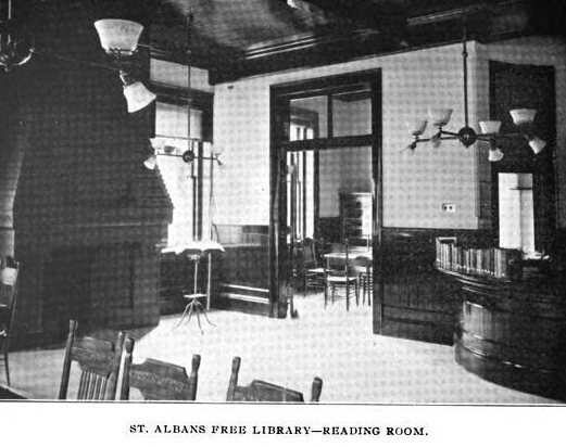
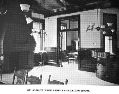 In the archiveStAlbans Library ca1901 Vermont 2
 On the mapFirst mapped by the U.S. Geological Survey
3 decades in the archive, from the 1860s to the 1900s. Scroll each row; tap a photo for its story.
No then-and-now pairs yet. Take a photo from the same spot as an old one and they appear here side by side.

Find the spot, match the angle, and add your photo. It becomes the first then-and-now pair on St. Albans’ page.
Retake this view · +15The country’s official list of buildings and places worth saving.
National Park Service, National Register of Historic Places. Photos from Wikimedia Commons, credited on each place’s page.
Old hamlets and crossroads still carry their names on the map.
US Post Offices dataset (Blevins & Helbock, CC0). Places and cemeteries from the USGS Geographic Names Information System (2021).
Most archives stop around 1920. The photos from after that are in family albums, not libraries.
Each neighbor’s History grade, on the same three inputs.
One place: the St. Albans Town Hall (listed 1996).
What the archives can’t tell you, neighbors can.
Founding dates: Wikidata, Wikipedia, the U.S. post office records of Blevins & Helbock (CC0) and the Census. Homes by year built: Census ACS 2020–24. National Register of Historic Places: National Park Service (list of May 22, 2026). Old photos, postcards and papers: Wikimedia Commons, the Library of Congress and other public archives, credited on each item’s page. Maps: U.S. Geological Survey historical topographic maps (via Esri) and Sanborn fire-insurance maps (Library of Congress). History text and census tables: Wikipedia (CC BY-SA 4.0). Places that used to be: USGS Geographic Names Information System (2021). How TownRatings grades history →
From Wikimedia Commons (6), the National Register of Historic Places (1), U.S. Geological Survey historical maps, the US Post Offices dataset (Blevins & Helbock), the USGS Geographic Names Information System and old county and town histories (Internet Archive). Archive images are copied here with their credits and licenses, shown on each photo’s page. Refreshed monthly.
 c. 1865
 c. 1865
 c. 1865
