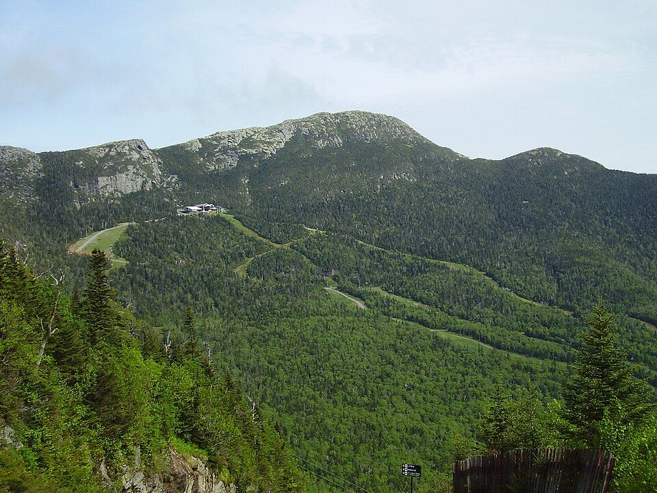
Mount Mansfield
Mount Mansfield is the highest mountain in Vermont, reaching an elevation of 4,393 feet (1,339 m) above sea level.

A mountain inside Underhill
Winters are cold
January nights drop to 8°, with about 126" of snow a year. When to go ↓
Cambridge is the nearest base
Cambridge is 6 miles north, with 15 places to stay. Where to stay ↓
Best months: May, Jun, Jul, Aug and Sep
May, June, July, August and September are the mild months, with highs of 64–77°. When to go ↓
Written from NOAA 1991–2020 normals, Overture places to stay, Census town figures, Wikidata and Wikipedia.
Weather, month by month
Typical highs and lows in Underhill. Green months are the mild ones.
Mount Mansfield
Mount Mansfield is the highest mountain in Vermont, reaching an elevation of 4,393 feet (1,339 m) above sea level. Located in the northwest of the state, it is also the highest peak in the Green Mountains. Its summit is located within the town of Underhill in Chittenden County; the ridgeline, including some secondary peaks, extends into the town of Stowe in Lamoille County, and the mountain's flanks also reach into the town of Cambridge.
When viewed from the east or west, the mountain has the appearance of a (quite elongated) human profile, with distinct forehead, nose, lips, chin, and Adam's apple. These features are most recognizable when viewed from the east; unlike most human faces, the chin is the highest point. The Abenaki describe the mountain as having the appearance of a moose.
- Type
- Mountain
- Elevation
- 4,395 ft
- Listed
- National Natural Landmark
- Wikipedia readers
- 45K a year
Where to stay near Mount Mansfield
The closest towns with hotels, motels or campgrounds are Stowe (55) and Cambridge (15).
Compare 8 towns
| Town | From Mount Mansfield | Drive | Places to stay | People | Typical home | Safety |
|---|---|---|---|---|---|---|
| Underhill | in town | — | 2 2 inns & B&Bs | 3,071 | $446K | — |
| Stowe 30% vacation homes | 6 mi southeast | 10 min | 55 27 hotels · 1 motel · 17 inns & B&Bs · 9 lodges & cabins · 1 campground | 5,325 | $648K | B+ |
| Cambridge | 6 mi north | 10 min | 15 8 hotels · 1 motel · 2 inns & B&Bs · 1 lodge or cabins · 3 campgrounds | 3,666 | $343K | — |
| Morristown | 9 mi east | 15 min | 5 1 motel · 1 inn or B&B · 1 lodge or cabins · 2 campgrounds | 6,129 | $299K | C+ |
| South Burlington | 20 mi west | 30 min | 18 14 hotels · 3 motels · 1 inn or B&B | 21,394 | $443K | D |
| Waterbury | 11 mi south | 15 min | 6 3 hotels · 2 inns & B&Bs · 1 lodge or cabins | 5,434 | $447K | — |
| Burlington | 21 mi west | 30 min | 21 9 hotels · 7 inns & B&Bs · 1 lodge or cabins · 2 hostels · 2 campgrounds | 44,019 | $445K | D− |
| Jeffersonville | 7 mi north | 10 min | 3 1 hotel · 1 motel · 1 inn or B&B | 747 | $320K | — |
Getting there
Nearest airports with airline service
Also near Mount Mansfield
Other well-known places within 63 miles. Numbered ones are on the map above.
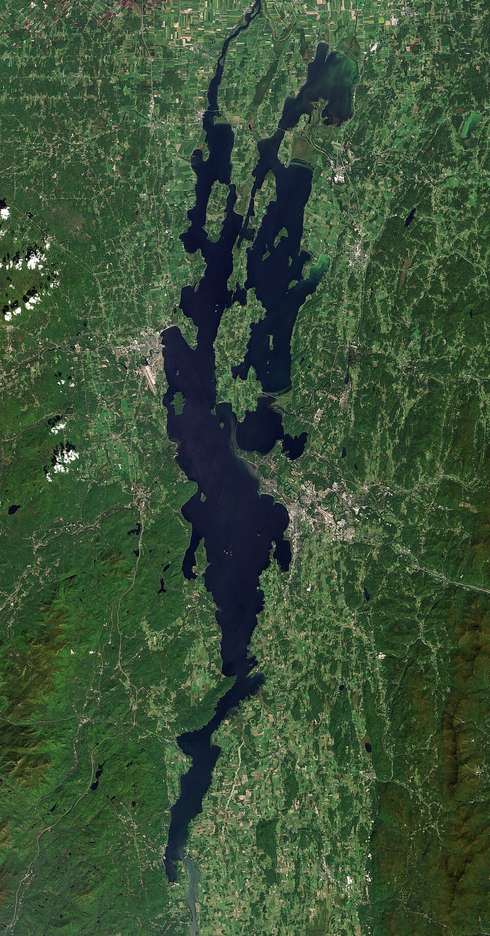 Big draw125 mi LakeLake Champlain
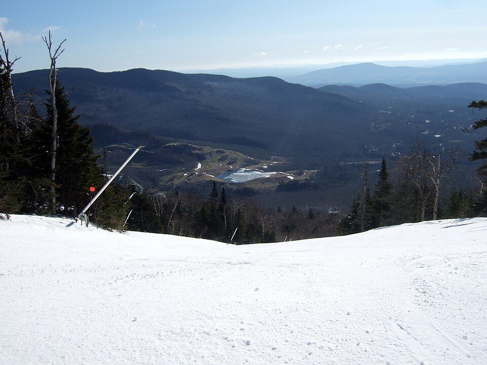 22 mi Ski areaStowe Mountain Resort144 runs · 2,390 ft vertical
 Big draw56 mi LandmarkFort Ticonderoga
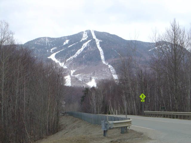 33 mi Ski areaSmugglers' Notch Resort110 runs · 2,533 ft vertical
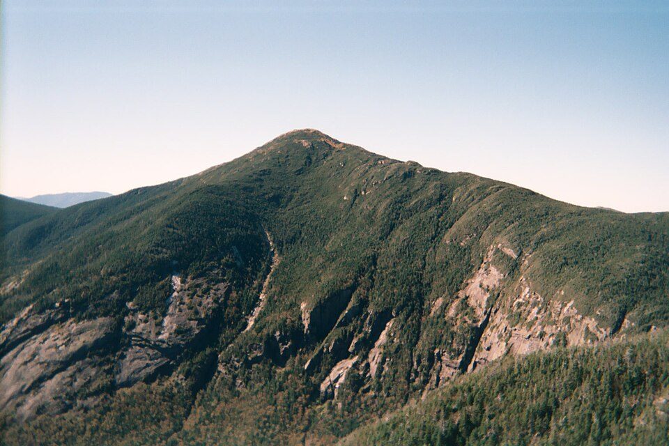 62 mi MountainMount Marcy
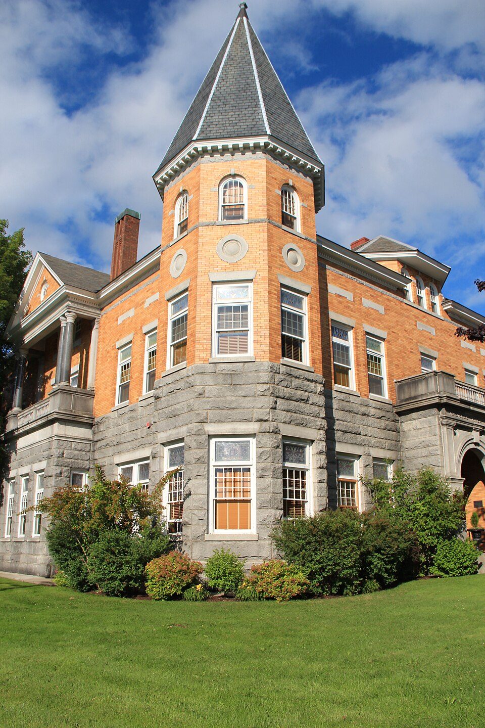 47 mi TheatreHaskell Free Library and Opera House
 40 mi LakeLake Willoughby
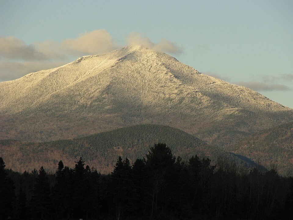 55 mi MountainWhiteface Mountain
Photo credits
Lake Champlain: Copernicus Sentinel-2, ESA, CC BY-SA 3.0 igo · Stowe Mountain Resort: Stevage, CC BY-SA 3.0 · Fort Ticonderoga: Mwanner, CC BY-SA 3.0 · Smugglers' Notch Resort: Jrclark (talk), CC BY-SA 3.0 · Mount Marcy: Daniel Tripp, Public domain · Haskell Free Library and Opera House: Thomsonmg2000, CC0 · Lake Willoughby: King of Hearts, CC BY-SA 4.0 · Whiteface Mountain: Mwanner, CC BY-SA 3.0


Visiting Mount Mansfield
Is Mount Mansfield in Underhill?
Yes. It’s inside Underhill, VT.
When is the best time to visit Mount Mansfield?
May, June, July, August and September, with highs of 64–77°.
What is the closest airport to Mount Mansfield?
Patrick Leahy Burlington (BTV), about 17 miles away. The nearest big hub is Albany (ALB), about 134 miles.
Where should I stay near Mount Mansfield?
Stowe (6 mi, 55 places to stay), Cambridge (6 mi, 15 places to stay) and Morristown (9 mi, 5 places to stay).
Tips from people in Underhill
No tips yet. Ask, or answer, in Underhill’s Town Square.
Sources: National Park Service · ski areas © OpenSkiMap / OpenStreetMap contributors · Wikidata · Wikipedia readership · NOAA climate normals · U.S. Census.