
Fort Huger · National Register of Historic Places
Rushmere’s story
113 years in pictures
1 place on the National Register of Historic Places.
- 1913Rushmere is settled
Each edition grades its towns against each other only.

A town of 1,033, settled in 1913.
The best of Rushmere’s subject grades is an A− for schools; the weakest is a D− for walkability. Rushmere’s median age is 59.3 years, above both Virginia’s towns (38.5 years) and U.S. towns (40.5 years). Only 3 of Virginia’s 372 towns score lower on walkability. Bacon's Castle and Old Brick Church is on the National Register of Historic Places. Rushmere has fewer than 2,500 residents, so it gets subject grades but no overall grade.
1,018 counted in 2010 and 1,175 in 2020.
U.S. Census 2010 & 2020 counts
Each subject compared with towns across the country (schools within Virginia), ordered by how far Rushmere is from typical.
How TownRatings grades towns →
1 place on the National Register of Historic Places.
Museums, parks, gardens and other places to visit around Rushmere. Close and well known come first.
 11 mi Theme parkBusch Gardens Williamsburg
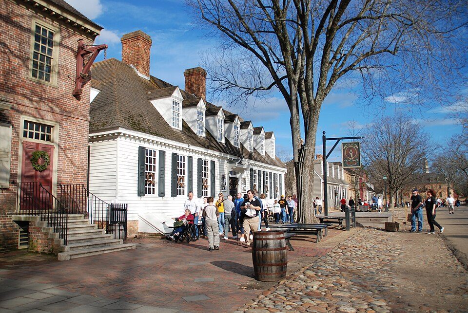 14 mi MuseumColonial Williamsburg
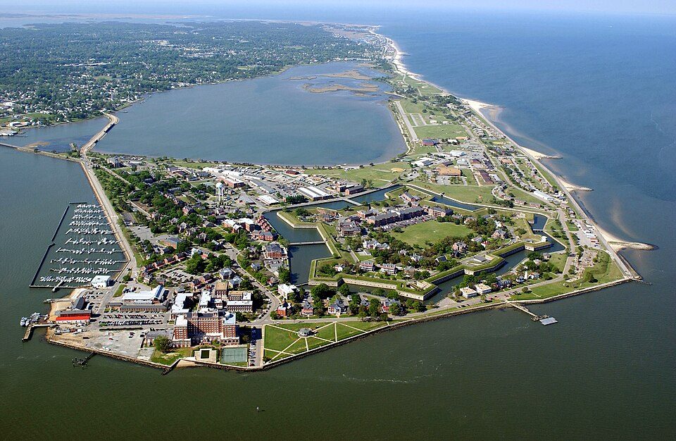 20 mi National MonumentFort Monroe National Monument
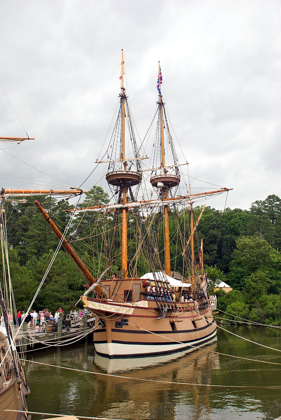 13 mi MuseumJamestown Settlement
 24 mi Ancient siteWerowocomoco
 26 mi MuseumMacArthur Memorial
Busch Gardens Williamsburg: Cjh1452000, CC BY-SA 4.0 · Colonial Williamsburg: Humberto Moreno, CC BY 2.0 · Fort Monroe National Monument: Unknown, Public domain · Jamestown Settlement: Warfieldian, CC BY-SA 3.0 · Werowocomoco: engraved by William Hole, Public domain · MacArthur Memorial: Unknown, Public domain
Rushmere is unincorporated, so Isle of Wight County and regional agencies provide most services.
EPA SDWIS (Oct 9, 2026) · HIFLD + EIA-861 2025 · Census 2020 ZCTAs · NCES 2024–25 · registration: vote.gov, updated Sep 30, 2026.
Ordered by what stands out in Rushmere.
Rushmere’s average trip to work is 31 minutes, above both the Virginia town median (27 minutes) and the median of U.S. towns (25 minutes). 2.6% of residents live below the poverty line in Rushmere. Only 1 of the 254 Virginia towns we compare have a lower share of working residents who work in town than Rushmere.
| Rushmere | Virginia towns | U.S. towns | |
|---|---|---|---|
| Average trip to work | 31 minutes | 27 minutes | 25 minutes |
| Below the poverty line | 2.6% | 7.7% | 9.6% |
| Working residents who work in town | 0.2% | 4.9% | 8% |
Census LEHD 2023 · ACS
Expected storm and flood damage is lower than in 69% of U.S. communities. Since 1994, 12 flood insurance claims have been paid out in Rushmere.
FEMA flood insurance claims · FEMA National Risk Index · OpenFEMA
Rushmere has mild winters and warm summers, with plenty of rain. Rushmere’s July high is 89°F.
NOAA U.S. Climate Normals, 1991–2020
Rushmere beats the Virginia average on 4 of 32 CDC measures and trails it on 8. 18% of Rushmere adults have diabetes. Among 254 Virginia towns, just 2 have a higher share of adults who had a checkup this year than Rushmere.
| Rushmere | Virginia towns | U.S. towns | |
|---|---|---|---|
| Diabetes (CDC PLACES) | 18% | 11% | 12% |
| High blood pressure (CDC PLACES) | 45% | 33% | 35% |
| Binge drink (CDC PLACES) | 12% | 14% | 16% |
| Yearly checkup (CDC PLACES) | 84% | 79% | 79% |
| What stands out | Rushmere | VA |
|---|---|---|
| Fewer binge drinkers | 11.6% | 14.5% |
| More adults treating high blood pressure | 83.1% | 76.8% |
| More adults who have had a stroke | 4.8% | 3.3% |
CDC PLACES 2025 · modeled estimates for adults · CMS · HRSA
2.9 miles of trail in 3 parks and preserves. The biggest park or preserve is Fort Huger, at 22 acres. The trail density in Rushmere is 0.3 miles per square mile.
| Rushmere | Virginia towns | U.S. towns | |
|---|---|---|---|
| Miles of trail per square mile | 0.3 miles per square mile | 0.7 | 0.4 |
| Conserved land | 1.5% | 4.7% | 4.3% |
| Biggest places to walk | Trails | Acres |
|---|---|---|
| 1. Fort Huger | 0.5 mi | 22 |
| 2. Hog Island Wildlife Management Area - Stewart Tract | — | 95 |
| 3. Tyler's Beach Boat Ramp, Harbor, and Public Beach | — | 10 |
Trails & parks © OpenStreetMap contributors · Conserved land: USGS PAD-US
Zillow Home Value Index · Redfin Data Center
4 within 15 miles of the center of Rushmere
About 5 of every 100 Rushmere residents are enrolled in college, against 7 across Virginia.
In a town this size, neighbors are the best guide. Ask them anything.
Census-designated place in Virginia, United States
Rushmere is a census-designated place (CDP) in Isle of Wight County, Virginia, United States. As of the 2020 census, Rushmere had a population of 1,175.
From Wikipedia, licensed CC BY-SA 4.0 · facts via Wikidata (CC0)
Short answers, built from the data on this page.
The typical home is worth about $350,000, 15% below the Virginia typical home. Cost of living, which also weighs rents, property taxes and how many households pay 30% or more of their income for housing, grades B.


