374 years in pictures
Census counts: 243 in 1930, a peak of 288 in 1960, 208 in 2020. The archive holds 16 old photos and papers going back to 2008 and 5 maps from 1919 on.
2 places on the National Register of Historic Places.
- 1652Surry is settled
Each edition grades its towns against each other only.

Home to 2 places on the National Register of Historic Places.
Surry’s median age is 58.9 years, above both Virginia’s towns (38.5 years) and U.S. towns (40.5 years). Only 1 of the 254 Virginia towns we compare have a higher share of households owning their home than Surry. Its National Register listings include Warren House and Glebe House of Southwark Parish. Surry has fewer than 1,000 residents, too few for fair grades; the figures below are still real.
Where Surry beats most towns.
Census counts: 243 in 1930, a peak of 288 in 1960, 208 in 2020. The archive holds 16 old photos and papers going back to 2008 and 5 maps from 1919 on.
2 places on the National Register of Historic Places.
Museums, parks, gardens and other places to visit around Surry. Close and well known come first.
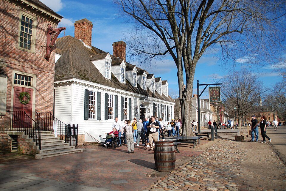
12 mi MuseumColonial Williamsburg
12 mi Theme parkBusch Gardens Williamsburg
7 mi MuseumJamestown Settlement
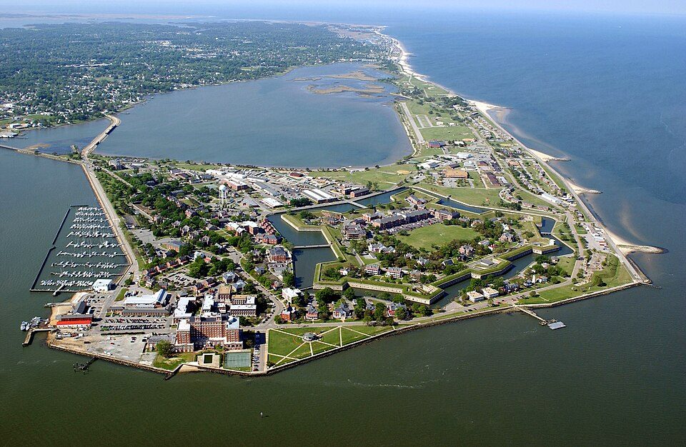
30 mi National MonumentFort Monroe National Monument
22 mi Ancient siteWerowocomoco
12 mi MuseumGovernor's PalaceColonial Williamsburg: Humberto Moreno, CC BY 2.0 · Busch Gardens Williamsburg: Cjh1452000, CC BY-SA 4.0 · Jamestown Settlement: Warfieldian, CC BY-SA 3.0 · Fort Monroe National Monument: Unknown, Public domain · Werowocomoco: engraved by William Hole, Public domain · Governor's Palace: Ron Cogswell, CC BY 2.0
Who provides power, water and the rest in Surry, and how to reach them.
EPA SDWIS (Oct 9, 2026) · HIFLD + EIA-861 2025 · Census 2020 ZCTAs · NCES 2024–25 · registration: vote.gov, updated Sep 30, 2026.
Ordered by what stands out in Surry.
Most working residents leave Surry for work: only 4% work in town. 2.4% of Surry residents live below the poverty line, below both the Virginia town median (7.7%) and the median of U.S. towns (9.6%). Surry’s average trip to work is 30 minutes.
| Surry | Virginia towns | U.S. towns | |
|---|---|---|---|
| Below the poverty line | 2.4% | 7.7% | 9.6% |
| Average trip to work | 30 minutes | 27 minutes | 25 minutes |
| Median household income | $85,000 | $102,000 | $80,000 |
| Working residents who work in town | 4.3% | 4.9% | 8% |
Census LEHD 2023 · ACS
People 65 and older are 39% of residents (17% statewide); adults 35 to 64 are 29% of residents (39% statewide). 48% of adults 25 and older hold a bachelor’s degree or more in Surry.
46% women, 54% men
That’s an even split within the survey’s margin of ±9.4 points. Across Virginia, 50.6% of residents are women.
| Surry | VA | U.S. | |
|---|---|---|---|
| Under 10 | 9.4% | 11.6% | 11.6% |
| 10 to 17 | 7.1% | 10.1% | 10.3% |
| 18 to 24 | 1.4% | 9.3% | 9.1% |
| 25 to 34 | 14.2% | 13.5% | 13.7% |
| 35 to 44 | 8.5% | 13.6% | 13.2% |
| 45 to 54 | 2.8% | 12.5% | 12.2% |
| 55 to 64 | 17.5% | 12.8% | 12.7% |
| 65 to 74 | 24.5% | 9.9% | 10.2% |
| 75 and older | 14.6% | 6.8% | 7% |
| No diploma | 5.7% | 8.4% | 10.4% |
| High school | 17.8% | 23.9% | 26% |
| Some college | 23.6% | 17.7% | 19.1% |
| Associate’s | 4.6% | 7.8% | 8.8% |
| Bachelor’s | 42% | 23.7% | 21.6% |
| Graduate | 6.3% | 18.5% | 14.1% |
U.S. Census Bureau · ACS 2020-2024 5-year estimates · in a town of 200, single groups can be off by several points
Expected storm and flood damage is lower than in 82% of U.S. communities.
FEMA National Risk Index · OpenFEMA
The typical Surry home is worth about $308,000, down 1.3% in a year, 25% below the Virginia typical home.
Zillow Home Value Index · Redfin Data Center
Surry has mild winters and warm summers, with plenty of rain. The July high in Surry is 89°F.
NOAA U.S. Climate Normals, 1991–2020
Surry beats the Virginia average on 1 of 32 CDC measures and trails it on 11. 44% of Surry adults have high blood pressure.
| Surry | Virginia towns | U.S. towns | |
|---|---|---|---|
| High blood pressure (CDC PLACES) | 44% | 33% | 35% |
| Diabetes (CDC PLACES) | 16% | 11% | 12% |
| Frequent physical distress (CDC PLACES) | 17% | 12% | 14% |
| Smoke cigarettes (CDC PLACES) | 17% | 12% | 14% |
| What stands out | Surry | VA |
|---|---|---|
| More adults treating high blood pressure | 81.5% | 76.8% |
| More adults with COPD | 9.5% | 6.2% |
CDC PLACES 2025 · modeled estimates for adults · CMS · HRSA
0.4 miles of trail in 1 park or preserve.
| Surry | Virginia towns | U.S. towns | |
|---|---|---|---|
| Conserved land | 0.6% | 4.7% | 4.3% |
| Miles of trail per square mile | 0.5 miles per square mile | 0.7 | 0.4 |
| Biggest places to walk | Trails | Acres |
|---|---|---|
| 1. Smith Park | — | 5 |
Trails & parks © OpenStreetMap contributors · Conserved land: USGS PAD-US
1 within 15 miles of the center of Surry
About 1 of every 100 Surry residents are enrolled in college, against 7 across Virginia.
In a town this size, neighbors are the best guide. Ask them anything.
Town in Virginia, United States
Surry (formerly Cross Roads, McIntosh's Cross Roads, McIntoshs Cross Roads, Scuffletown, Smithville, Surry Court House, and The Crossroads) is an incorporated town in Surry County, Virginia, United States. As of the 2020 census, Surry had a population of 208. It is the county seat of Surry County. Its name is derived from the county of Surrey in England.
From Wikipedia, licensed CC BY-SA 4.0 · facts via Wikidata (CC0)
Short answers, built from the data on this page.
Surry has fewer than 1,000 residents, too few for fair grades; the figures below are still real. Home to 2 places on the National Register of Historic Places.
2 notable people were born here, including Joseph T. Deal and Charles Sherrod.