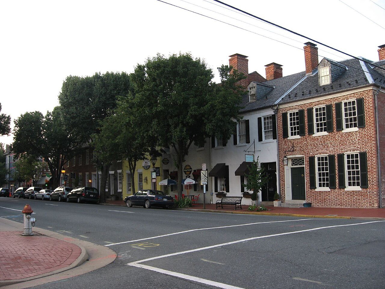
Fredericksburg has 24 miles of mapped trails, 2.3 for every square mile of land
The biggest trail networks: Rappahannock River Conservation Area (4.3 mi), Sunshine Ballpark (2.9 mi), Fredericksburg and Spotsylvania National Military Park (2.4 mi). 9% of Fredericksburg’s land is conserved, about 607 acres. 278 acres are parks and preserves, 9.6 per 1,000 residents.
Ahead of 76% of U.S. towns · #88 of 253 in Virginia. What drives it
Conserved land
9%
607 acres · of 10.5 sq mi of land
Trails
24 mi
2.3 per sq mi of land
Park land
278 ac
9.6 acres per 1,000 residents
Near a park
66%
of residents within ½ mile
Bike routes
12 mi
12 mi paths
Highest peak
243 ft
Embrey Hill
Lakes & rivers
6
2 boat launches
What kind of outdoors town is Fredericksburg?
Read from the map. The page puts what stands out first.
On conserved land, trails, park land and how close residents live to a park, Fredericksburg is ahead of 76% of U.S. towns, #88 of 253 in Virginia. Trail miles hold the grade up; park acres per resident pull it down.
A−
OutdoorsA character grade: shown, never part of Fredericksburg’s overall grade.
How sure. Graded on any three of the four inputs instead, the letter would range from B to A−. Trails and many small parks come from OpenStreetMap, mapped by volunteers, so coverage varies from town to town; the half mile is a straight line from each census block, so a river or highway in the way isn’t counted against it.
9% of Fredericksburg’s land. Who manages Fredericksburg’s conserved land, from the USGS Protected Areas Database. Approximate, because parcels can overlap.
Land trusts & nonprofits384 ac
Other state land296 ac
Town or city286 ac
National Park Service123 ac
State conservation22 ac
Not recorded98 ac
Other Easement · 396 acConservation Easement · 302 acLocal Park · 240 acHistoric or Cultural Area · 123 acUnknown Easement · 61 ac
Good to know
Conserved doesn’t always mean open to visitors. 310 acres are conservation easements, usually private land. Public access isn’t recorded for 2 of 40 parcels. The walks above are places people visit.
The biggest protected parcels
Parcel (PAD-US)
Managed by
Acres
Public access
Fredericksburg and Spotsylvania County Battlefields Memorial National Military Park
Historic or Cultural Area
National Park Service
123
Restricted
Old Mill Park
Local Park
Town or city
106
Open
Alum Spring Park
Local Park
Town or city
58
Open
Dixon Park
Local Park
Town or city
47
Open
CVBT Holding
Private Conservation
Land trusts & nonprofits
32
Closed
Snowden Park
Local Park
Town or city
9
Open
Memorial Park
Local Park
Town or city
6
Open
Old Walker Grant School Park
Local Park
Town or city
5
Open
Riverfront Park
Local Park
Town or city
3
Open
City Dock
Local Park
Town or city
2
Open
3 smaller protected places aren’t shown.
Things to do
29 places to go in Fredericksburg
Beaches, playgrounds, peaks, falls and more. Pick a kind.
Bike lanes are often missing from the map in smaller towns, so that number is likely low.
12 mi
off-road bike paths
Courts & fields
22Tennis
16Soccer
7Baseball
7Basketball
7Pickleball
1Softball
1Volleyball
1Beach volleyball
Includes school and college facilities, which aren’t always open to the public.
History along the way
30 places on the National Register, 4 of them National Historic Landmarks
The country’s official list of places worth saving (National Park Service). The map also marks 12 historic points from OpenStreetMap: plaques, memorials and old buildings.
The best walking months in Fredericksburg: April and June
NOAA’s 1991–2020 normals for the town and the daylight at its latitude. Outlined months have long days, highs of 59 to 86 °F and little rain for the place.
Jan
Feb
Mar
Apr
May
Jun
Jul
Aug
Sep
Oct
Nov
Dec
Daylight (h)
9.8
10.7
11.8
13.1
14.2
14.8
14.6
13.6
12.4
11.1
10.0
9.5
High (°F)
46
50
58
69
76
85
89
87
80
69
59
49
Rain (in)
3.0
2.6
3.6
3.2
4.1
3.9
4.1
4.0
4.4
3.6
3.2
3.4
February is the driest month (2.6 in) and July the warmest (highs of 89 °F). 4.4 inches fall in September, the wettest month. Summer highs reach 89 °F, too hot for the outline. The climate in Fredericksburg →
Next door
Fredericksburg and its neighbors
Fredericksburg has the most mapped trails of the 3 towns around it. Tap a town to see its outdoors.
— not graded: under 1,000 residents or part of its town
The four inputs of the Outdoors grade, from the engine; shares are of land, not water.
Questions about parks and trails in Fredericksburg
Where can I hike in Fredericksburg?
The longest trail networks: Rappahannock River Conservation Area, 4.3 miles; Sunshine Ballpark, 2.9 miles; Fredericksburg and Spotsylvania National Military Park, 2.4 miles; Alum Springs Park, 1.1 miles. Each one is on the map above, with directions to the nearest trailhead or parking.
How much of Fredericksburg is conserved land?
9% of its land, against a typical 4% for a Virginia town and 4% nationally (PAD-US). Conserved doesn’t always mean open to visitors: easements are usually private land.
Are dogs allowed on Fredericksburg’s trails?
OpenStreetMap records dogs as welcome at Fredericksburg and Spotsylvania National Military Park (on leash). For the rest, check the signs at the trailhead.
Where can I bike in Fredericksburg?
12 miles of bike routes are on the map: 12 of off-road paths.
Is there public land near Fredericksburg?
7,002 acres of parks and open public land lie inside Fredericksburg or within 10 miles of it (PAD-US), 278 of them inside the city line.
How much outdoors does Fredericksburg have?
Ahead of 76% of U.S. towns on the Outdoors grade, #88 of 253 in Virginia. The grade combines the share of land that is conserved, miles of mapped trail per square mile of land, park acres per 1,000 residents and the share of residents within a half mile of a park. It’s a character grade, so it isn’t part of the overall grade. How it works.
Trail talk
Conditions, parking and favorite walks from Fredericksburg neighbors.