The Craigsville School was listed on the National Register of Historic Places in 1985.
The history of Craigsville can be traced back to 1721 when a Scotch-Irish couple, William and Jeanette Craig, Scottish immigrants, received a land grant from the government for the purpose of farming. They were the first settlers on the land, which eventually came to be named for them. The area grew, however remaining a farming community from 1721 to the 1850s.
Mr. & Mrs. Craig raised a family which consisted of two (2) sons, Robert and James. Mr. Craig gave his sons the farm, dividing it equally between them. Robert inherited the eastern half while James inherited the western half.
Passages that mention Craigsville, cut from the printed page as they were published.
History of Augusta County, Virginia1882 · page 237Read the page →
Read the text
steam-mill, the steam distillery. Confederate Government workshops, the stables and house used for storing forage, the stables of Trotter and twentysix coaches, the railway stations, etc. The railway track was destroyed at intervals to Goshen, with the fine bridges at Swoope's, Craigsville, and Goshen— also the culverts and small bridges East of Staunton they tore up the track to Christian's Creek, bending the rails, and burning the bridges at the creek and at Fishersville. They broke open and plundered the shops
Text read by machine from the scan; it may contain errors.
History of Augusta County, Virginia1882 · page 267Read the page →
Read the text
Craigsville is situated on the Chesapeake and Ohio railroad, about 23 miles west of Staunton, and is noted for its valuable marble quarries. It contains a population of 117 souls, two stores and a smithy.
Text read by machine from the scan; it may contain errors.
Scans and text from the Internet Archive. Books published in 1930 or earlier, which are in the public domain.
Timeline
Craigsville, 1854 to 1957
Woven from the archive, old maps, post office records, the National Register and the people born here.
Founding dates: Wikidata, Wikipedia, the U.S. post office records of Blevins & Helbock (CC0) and the Census. Homes by year built: Census ACS 2020–24. National Register of Historic Places: National Park Service (list of May 22, 2026). Old photos, postcards and papers: Wikimedia Commons, the Library of Congress and other public archives, credited on each item’s page. Maps: U.S. Geological Survey historical topographic maps (via Esri) and Sanborn fire-insurance maps (Library of Congress). History text and census tables: Wikipedia (CC BY-SA 4.0). Places that used to be: USGS Geographic Names Information System (2021). How TownRatings grades history →
From Wikimedia Commons (12), the National Register of Historic Places (1), Wikipedia, Wikidata and Wikipedia for famous people, U.S. Geological Survey historical maps, U.S. Census counts (via Wikipedia), the US Post Offices dataset (Blevins & Helbock), the USGS Geographic Names Information System and old county and town histories (Internet Archive). Archive images are copied here with their credits and licenses, shown on each photo’s page. Refreshed monthly.


 2023
 2017
 2017
 2016
 2016
 2016
 2016
 2010
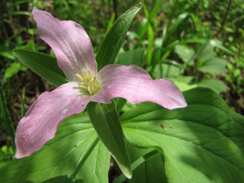 2010
 2010
 2010
 2010


