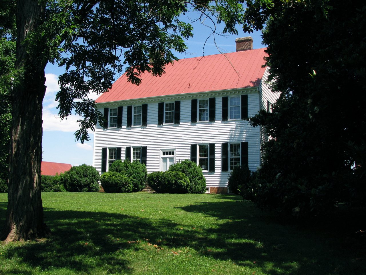
 Prospect Hill · Photo: Wikipelli · CC BY-SA 3.0
Few parks or trails are on the map in Blue Ridge Shores
OpenStreetMap doesn’t show named parks or mapped trails in Blue Ridge Shores yet. Know a trail or a town park? Anyone can add it to OpenStreetMap, and it shows up here on the next refresh.
Conserved land, trails & bike routes
Tap a number to zoom to a park. Tap a layer to hide it.
3 places to go in Blue Ridge Shores
Beaches, playgrounds, peaks, falls and more. Pick a kind.
1 beach without a name on the map. Tap “Show all on map” to see it.
2 boat launches without a name on the map. Tap “Show all on map” to see them.
1 lakes & rivers
The best walking months in Blue Ridge Shores: April and May
NOAA’s 1991–2020 normals for the town and the daylight at its latitude. Outlined months have long days, highs of 59 to 86 °F and little rain for the place.
| Jan | Feb | Mar | Apr | May | Jun | Jul | Aug | Sep | Oct | Nov | Dec | |
|---|---|---|---|---|---|---|---|---|---|---|---|---|
| Daylight (h) | 9.8 | 10.7 | 11.8 | 13.1 | 14.2 | 14.8 | 14.6 | 13.6 | 12.4 | 11.1 | 10.0 | 9.5 |
| High (°F) | 46 | 50 | 58 | 69 | 76 | 84 | 88 | 86 | 80 | 69 | 58 | 49 |
| Rain (in) | 3.0 | 2.7 | 3.7 | 3.5 | 4.1 | 4.6 | 4.1 | 4.0 | 4.4 | 3.6 | 3.4 | 3.4 |
February is the driest month (2.7 in) and July the warmest (highs of 88 °F). 4.6 inches fall in June, the wettest month. Summer highs reach 88 °F, too hot for the outline. The climate in Blue Ridge Shores →
Questions about parks and trails in Blue Ridge Shores
Is there public land near Blue Ridge Shores?
1,775 acres of parks and open public land lie inside Blue Ridge Shores or within 10 miles of it (PAD-US), almost none of it inside the town line.
Trail talk
Conditions, parking and favorite walks from Blue Ridge Shores neighbors.
Where this page comes from
Conserved and public land: USGS Protected Areas Database of the United States (PAD-US), service updated July 2026. Parks, trails, playgrounds, beaches and other places: OpenStreetMap (© OpenStreetMap contributors, ODbL), map data as of 2026-10-28. Land and water area: Census 2025 Gazetteer. Residents near a park: 2020 Census blocks. National Register: National Park Service. How TownRatings grades the outdoors →