
Bison on Antelope Island, 2010
Syracuse’s story
148 years in pictures
Census counts: 299 in 1890, 32,141 in 2020. The archive holds 7 old photos and papers going back to 2010 and 3 maps from 1955 on.
- 1878Syracuse is settled
Each edition grades its towns against each other only.

Yes, by almost any measure. Syracuse earns an A+, 8th among Utah's 118 graded towns. The median household earns $133K, it is healthier than 90% of U.S. towns, and crime is low: it reports less per resident than 83% of U.S. towns. Its lowest mark, a C, is in cost of living. 36% of residents are under 18 in Syracuse, above both Utah’s towns (30%) and U.S. towns (22%). Syracuse's civic life (library use, community groups, volunteering) trails 94% of U.S. towns. Only 10 of the 117 Utah towns we compare have a higher median rent than Syracuse.
Where Syracuse beats most towns.
24,331 counted in 2010 and 32,141 in 2020; an estimated 39,909 in 2025.
Growth hasn’t slowed: 24.2% since 2020, after 32.1% in the decade before.
U.S. Census 2010 & 2020 counts · Census Bureau estimate, July 1, 2025
Each subject compared with towns across the country (schools within Utah), ordered by how far Syracuse is from typical.
How TownRatings grades towns →
Census counts: 299 in 1890, 32,141 in 2020. The archive holds 7 old photos and papers going back to 2010 and 3 maps from 1955 on.
Museums, parks, gardens and other places to visit around Syracuse. Close and well known come first.
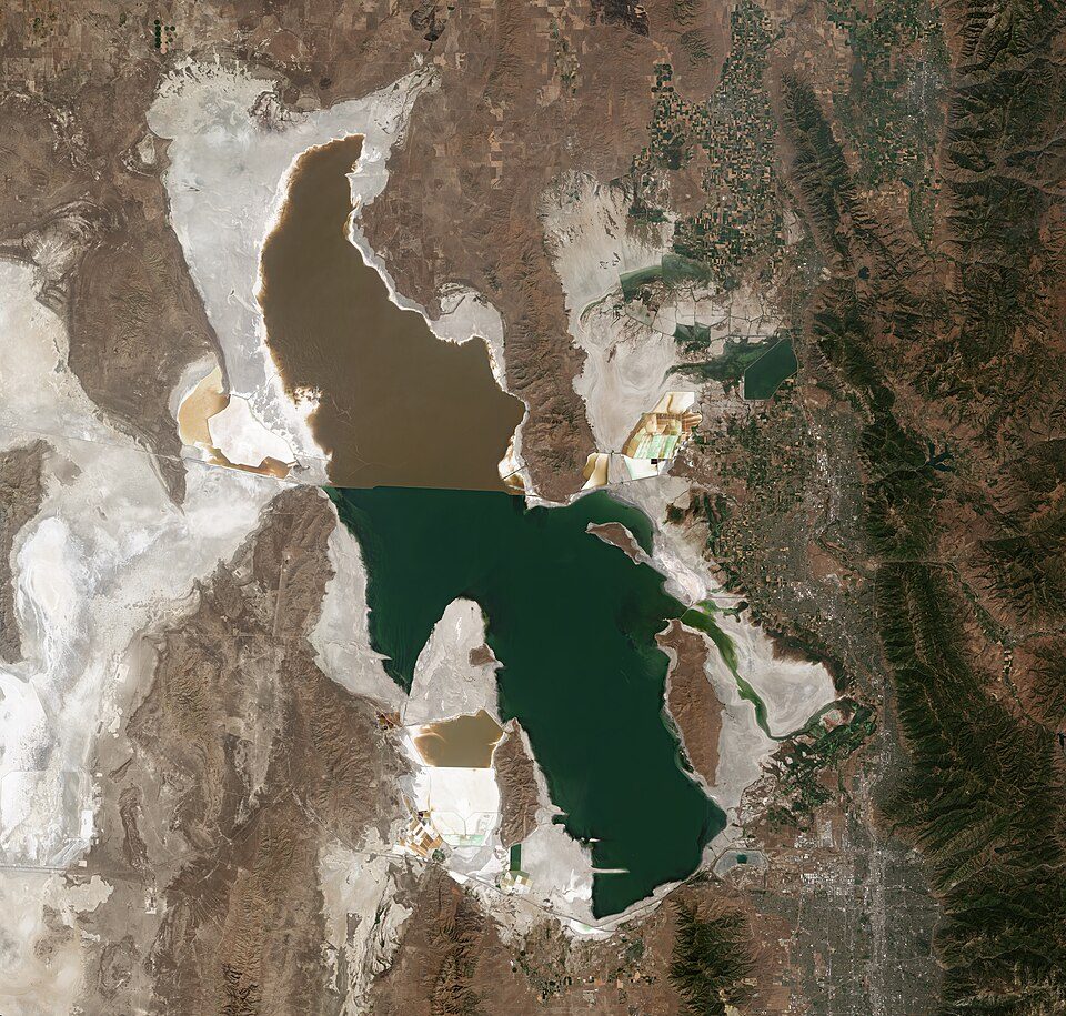 Big draw27 mi LakeGreat Salt Lake
 Big draw24 mi Stadium & arenaDelta Center
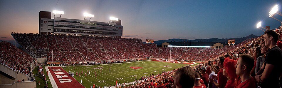 25 mi Stadium & arenaRice–Eccles Stadium
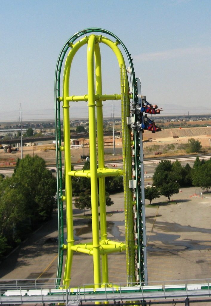 12 mi Theme parkLagoon Amusement Park
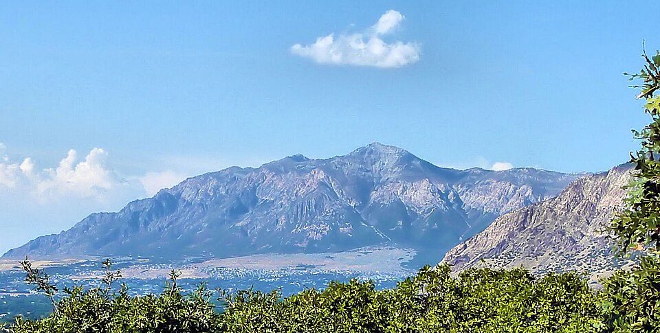 20 mi MountainBen Lomond Mountain
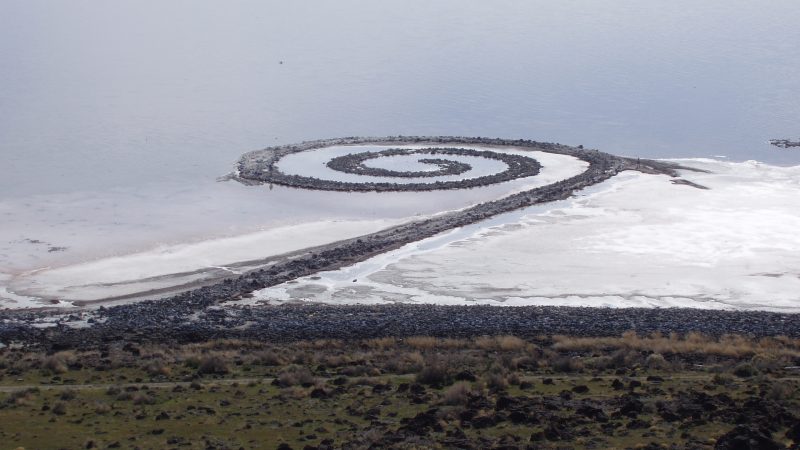 39 mi LandmarkSpiral Jetty
Great Salt Lake: Copernicus Sentinel-2, ESA, CC BY-SA 3.0 igo · Delta Center: Lomrjyo, CC BY-SA 4.0 · Rice–Eccles Stadium: Brenton Walker, CC BY 2.0 · Lagoon Amusement Park: Davehi1, Public domain · Ben Lomond Mountain: Joe Tordiff, CC BY-SA 2.0 · Spiral Jetty: Sculpture: Robert Smithson 1938-1973Image:Soren.harward at en.wikipedia, Public domain
Who provides power, water and the rest in Syracuse, and how to reach them.
EPA SDWIS (Oct 9, 2026) · HIFLD + EIA-861 2025 · Census 2020 ZCTAs · NCES 2024–25 · registration: vote.gov, updated Mar 13, 2026.
Ordered by what stands out in Syracuse.
Syracuse sees little violent crime and is healthy by national standards but mid-pack in Utah; it also has many renters stretched by housing costs.
Within Utah it is healthier than 61% of the 118 graded towns: Utah sets a high bar. Against the 4,214 U.S. towns with household incomes like Syracuse’s, it is healthier than 68%, a smaller edge than it has nationally: part of it comes with its incomes.
25% of adults have high blood pressure in Syracuse. Syracuse beats the Utah average on 12 of 32 CDC measures and trails it on 0. 11% of adults binge drink in Syracuse.
| Syracuse | Utah towns | U.S. towns | |
|---|---|---|---|
| High blood pressure (CDC PLACES) | 25% | 28% | 35% |
| Binge drink (CDC PLACES) | 11% | 11% | 16% |
| Frequent physical distress (CDC PLACES) | 10% | 12% | 14% |
| Diabetes (CDC PLACES) | 7.3% | 8.4% | 12% |
| What stands out | Syracuse | UT |
|---|---|---|
| Fewer adults facing food insecurity | 8.8% | 12.4% |
| Fewer uninsured adults | 7.8% | 10.5% |
CDC PLACES 2025 · modeled estimates for adults · CMS · HRSA
Its public schools are run by the Davis District. Three of its 11 schools are below, each with why it’s listed.
| School | Level | Students | Letter |
|---|---|---|---|
| Bluff Ridge SchoolLargest public elementary schoolGrades PK–6 | Grades PK–6 | 915 | B |
| Syracuse HighLargest public high schoolGrades 10–12 | Grades 10–12 | 2,608 | C+ |
| Syracuse Arts Academy - NorthTop results in townGrades K–6 | Grades K–6 | 730 | A− |
NCES · EDFacts · graded within UT on state tests and graduation
Violent crime is rare: 34 reported in 2025, 0.8 per 1,000 residents.
Syracuse’s property crime rate is 4.2 per 1,000 residents.
| Syracuse | Utah towns | U.S. towns | |
|---|---|---|---|
| Property crimes per 1,000 (2025) | 4.2 per 1,000 residents | 9 | 9.9 |
| Violent crimes per 1,000 (2025) | 0.8 per 1,000 residents | 1.4 | 1.6 |
FBI crime data, 2025 · crimes reported to police
Jobs based here grew from 2,668 in 2013 to 4,771.
Most working residents leave Syracuse for work: only 5% work in town. The average trip to work in Syracuse is 29 minutes. Since 2013, Syracuse has added 2,103 jobs, to 4,771 in 2023.
| Syracuse | Utah towns | U.S. towns | |
|---|---|---|---|
| Median household income | $133,000 | $101,000 | $80,000 |
| Average trip to work | 29 minutes | 22 minutes | 25 minutes |
| Below the poverty line | 4.8% | 6.4% | 9.6% |
| Working residents who work in town | 5.2% | 8.5% | 8% |
Census LEHD 2023 · ACS
Children under 18 are 36% of residents (28% statewide); adults 18 to 34 are 20% of residents (26% statewide). 7.8% of Syracuse residents are 65 or older. Syracuse has grown 24% since 2020, to 39,909 residents in the Census Bureau’s 2025 estimate.
| Syracuse | Utah towns | U.S. towns | |
|---|---|---|---|
| Median age | 28.7 years | 32.7 years | 40.5 years |
| Aged 65 or older | 7.8% | 11% | 18% |
| Bachelor’s degree or more, 25+ | 40% | 36% | 29% |
50% women, 50% men
That’s an even split within the survey’s margin of ±2.2 points. Across Utah, 49.3% of residents are women.
| Syracuse | UT | U.S. | |
|---|---|---|---|
| Under 10 | 17.4% | 14.6% | 11.6% |
| 10 to 17 | 18.9% | 13.2% | 10.3% |
| 18 to 24 | 10.3% | 11.6% | 9.1% |
| 25 to 34 | 9.6% | 14.8% | 13.7% |
| 35 to 44 | 16.1% | 13.8% | 13.2% |
| 45 to 54 | 11.7% | 11% | 12.2% |
| 55 to 64 | 8.3% | 9.1% | 12.7% |
| 65 to 74 | 5.6% | 7.3% | 10.2% |
| 75 and older | 2.2% | 4.6% | 7% |
| No diploma | 3.4% | 6.6% | 10.4% |
| High school | 18.4% | 22.3% | 26% |
| Some college | 27.5% | 23.5% | 19.1% |
| Associate’s | 11.1% | 9.9% | 8.8% |
| Bachelor’s | 26.2% | 24.7% | 21.6% |
| Graduate | 13.3% | 13% | 14.1% |
Census population estimates, 2025 · U.S. Census Bureau · ACS 2020-2024 5-year estimates
Expected storm and flood damage is lower than in 68% of U.S. communities.
FEMA National Risk Index · OpenFEMA
Syracuse has chilly, snowy winters and hot summers, with very little rain. July afternoons reach 92°, January nights drop to 22° and about 50 inches of snow falls in a winter.
NOAA U.S. Climate Normals, 1991–2020
4.6 miles of trail in 12 parks and preserves. The biggest park or preserve is Jensen Nature Park, at 27 acres.
| Syracuse | Utah towns | U.S. towns | |
|---|---|---|---|
| Miles of trail per square mile | 0.4 miles per square mile | 1.1 | 0.4 |
| Conserved land | 4.5% | 3.4% | 4.3% |
| Biggest places to walk | Trails | Acres |
|---|---|---|
| 1. Jensen Nature Park | 0.7 mi | 27 |
| 2. Founders Park | 0.3 mi | 16 |
| 3. Linda Vista Park | 0.3 mi | 6 |
Trails & parks © OpenStreetMap contributors · Conserved land: USGS PAD-US
75.2% of renter households pay 30% or more of their income for housing, against 47.2% across Utah.
The typical Syracuse home is worth about $580,000, up 2.3% in a year, 9% above the Utah typical home.
Zillow Home Value Index · Redfin Data Center
2 within 15 miles of the center of Syracuse
About 6 of every 100 Syracuse residents are enrolled in college, against 8 across Utah.
Where Syracuse’s working residents go each day. Line width shows the share.
Census LEHD 2023
City in Utah, United States
Syracuse is a city in Davis County, Utah, United States. It is situated between the Great Salt Lake and Interstate 15, about 30 miles (48 km) north of Salt Lake City. The West Davis Corridor (Utah State Route 177) runs northwest through Syracuse, with interchanges at 2000 West and Antelope Drive (SR-127). It is part of the Ogden–Clearfield Metropolitan Statistical Area. The city has seen rapid growth and development since the 1990s. The city population was 24,331 at the time of the 2010 census, an increase of 158.9% since the 2000 census. By the 2020 census, the population further increased to 32,141. Although white settlers have inhabited the area since the mid-1800s, the Syracuse Town Boa…
From Wikipedia, licensed CC BY-SA 4.0 · facts via Wikidata (CC0)
2 towns share a border with Syracuse.
| Town | UT rank | Overall | Cost | Safety | Schools | Health |
|---|---|---|---|---|---|---|
| Syracuse | #8 | A+ | C | A− | B+ | A |
| Clearfield | #75 | B+ | C+ | C+ | B+ | B+ |
| West Point | #20 | A | C+ | — | B+ | A− |
West Point reports no FBI crime data of its own. Compare Syracuse with a neighbor →
Short answers, built from the data on this page.
Yes, by almost any measure. Syracuse grades A+ overall, better than 95% of U.S. towns and #8 of 118 in Utah. It grades A for health, A− for safety and B+ for schools.
That is 5.7 years of the area's median household income ($101,203 across the Ogden, UT metro area). Cost of living, which also weighs rents, property taxes and how many households pay 30% or more of their income for housing, grades C.


