Hobble Creek in pictures
The archive holds 10 old photos and papers going back to 2016 and 3 maps from 1967 on.
1 place on the National Register of Historic Places.
Explore the history →Each edition grades its towns against each other only.
With 105 residents, it is a town in Utah.
Hobble Creek’s typical journey to work is 36 minutes, where Utah’s towns sit at 22 minutes and U.S. towns at 25 minutes. No town among the 120 in Utah we compare has a higher owner-occupancy rate than Hobble Creek. Uinta-Wasatch-Cache National Forest, at 1,362 acres with 2 miles of trail, is the biggest park or preserve. Hobble Creek has fewer than 1,000 residents, too few for fair grades; the figures below are still real.
The archive holds 10 old photos and papers going back to 2016 and 3 maps from 1967 on.
1 place on the National Register of Historic Places.
Explore the history →In a town this size, neighbors are the best guide. Ask them anything.
Ordered by what stands out in Hobble Creek.
Expected losses in Hobble Creek break down as 52% from avalanches and 32% from wildfires.
FEMA National Risk Index · OpenFEMA
Adults 35 to 64 are 48% of residents (34% statewide); adults 18 to 34 are 18% of residents (26% statewide). A bachelor’s degree or higher: 37% of adults 25 and older, vs 38% across Utah.
Somewhere between 30% and 52% women
The Census survey reached too few of Hobble Creek’s residents to say more: its margin here is ±11 points. Across Utah, 49.3% of residents are women.
| Hobble Creek | UT | U.S. | |
|---|---|---|---|
| Under 10 | 8.6% | 14.6% | 11.6% |
| 10 to 17 | 21% | 13.2% | 10.3% |
| 18 to 24 | 16.2% | 11.6% | 9.1% |
| 25 to 34 | 1.9% | 14.8% | 13.7% |
| 35 to 44 | 5.7% | 13.8% | 13.2% |
| 45 to 54 | 23.8% | 11% | 12.2% |
| 55 to 64 | 18.1% | 9.1% | 12.7% |
| 65 to 74 | 4.8% | 7.3% | 10.2% |
| 75 and older | 0% | 4.6% | 7% |
| No diploma | 0% | 6.6% | 10.4% |
| High school | 7% | 22.3% | 26% |
| Some college | 29.8% | 23.5% | 19.1% |
| Associate’s | 26.3% | 9.9% | 8.8% |
| Bachelor’s | 21.1% | 24.7% | 21.6% |
| Graduate | 15.8% | 13% | 14.1% |
U.S. Census Bureau · ACS 2020-2024 5-year estimates · in a town of 100, single groups can be off by several points
The top destinations are Provo (28%), Orem (13%) and Springville (9%). Half the trips to work are shorter than 12 miles.
Census LEHD 2023 · ACS
In July, afternoons reach 89°; in January, nights fall to 17°, and about 74 inches of snow falls in a winter.
NOAA U.S. Climate Normals, 1991–2020
Hobble Creek: 6.6% of adults smoke cigarettes. Only 8 of the 119 Utah towns we compare have a higher share of adults who have high blood pressure than Hobble Creek.
| Hobble Creek | Utah towns | U.S. towns | |
|---|---|---|---|
| Binge drink (CDC PLACES) | 6.8% | 11% | 16% |
| Smoke cigarettes (CDC PLACES) | 6.6% | 8% | 14% |
| Sleep under 7 hours (CDC PLACES) | 30% | 34% | 36% |
| Frequent mental distress (CDC PLACES) | 15% | 17% | 17% |
| What stands out | Hobble Creek | UT |
|---|---|---|
| Fewer binge drinkers | 6.8% | 12.4% |
| Fewer uninsured adults | 6.7% | 10.5% |
| More adults who have had cancer | 11.5% | 7.2% |
CDC PLACES 2025 · modeled estimates for adults · CMS · HRSA
In 4 parks and preserves, walkers have 2.0 miles of trail. The trail network density for Hobble Creek comes to 1.0 miles per square mile. Parks and preserves locally: 4, covering 1,393 acres.
| Hobble Creek | Utah towns | U.S. towns | |
|---|---|---|---|
| Miles of trail per square mile | 1.0 miles per square mile | 1.1 | 0.4 |
| Conserved land | 3.2% | 3.4% | 4.3% |
| Biggest places to walk | Trails | Acres |
|---|---|---|
| 1. Uinta-Wasatch-Cache National Forest | 2 mi | 1,362 |
| 2. Kelly's Grove | — | 15 |
| 3. Rotary Park | — | 11 |
Trails & parks © OpenStreetMap contributors · Conserved land: USGS PAD-US
Museums, parks, gardens and other places to visit around Hobble Creek. Close and well known come first.
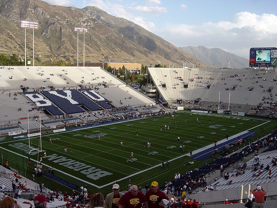
10 mi Stadium & arenaLaVell Edwards Stadium18 mi Theme parkEvermore Park
16 mi MountainMount Timpanogos
16 mi LakeUtah Lake
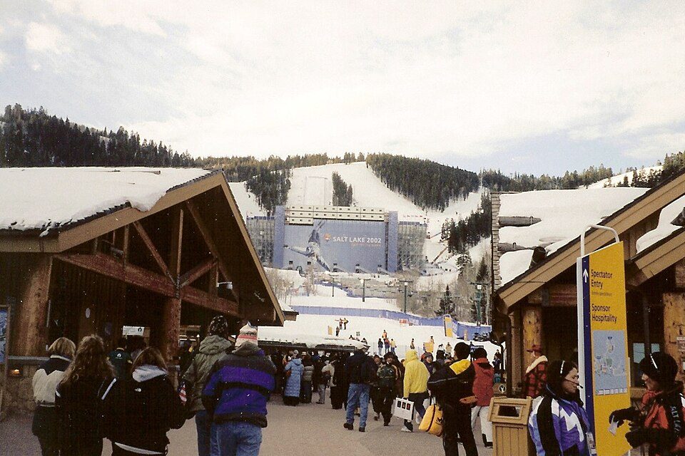
30 mi Ski areaDeer Valley Resort351 runs · 3,110 ft vertical
34 mi Stadium & arenaAmerica First FieldLaVell Edwards Stadium: The original uploader was Bobak at English Wikipedia., CC BY-SA 2.5 · Mount Timpanogos: Eric Ward from Provo, UT, USA, CC BY-SA 2.0 · Utah Lake: NASA Earth Observatory images by Lauren Dauphin, using Landsat data from the U.S, Public domain · Deer Valley Resort: Ken Lund from Las Vegas, Nevada, USA, CC BY-SA 2.0 · America First Field: Scott Catron, CC BY-SA 2.0
Hobble Creek is unincorporated, so Utah County and regional agencies provide most services.
EPA SDWIS (Oct 9, 2026) · HIFLD + EIA-861 2025 · Census 2020 ZCTAs · NCES 2024–25 · registration: vote.gov, updated Mar 13, 2026.
Where Hobble Creek’s working residents go each day. Line width shows the share.
Census LEHD 2023
5 within 15 miles of the center of Hobble Creek
About 6 of every 100 Hobble Creek residents are enrolled in college, against 8 across Utah.
Census-designated place in Utah County, Utah, United States
Hobble Creek is a census-designated place (CDP) in eastern Utah County, Utah, United States. It was first listed as a CDP prior to the 2020 census when it had a population of 169.
From Wikipedia, licensed CC BY-SA 4.0 · facts via Wikidata (CC0)
Short answers, built from the data on this page.
Hobble Creek has fewer than 1,000 residents, too few for fair grades; the figures below are still real.
Ask a question, answer one, post a photo or an event. Free, and the parts only a neighbor would know are the parts worth reading.