
Halls CrossingUT
A town in Utah.
Is Halls Crossing a good place to live?
Halls Crossing’s typical July afternoon high is 100°F, against 92°F in Utah’s towns and 85°F across U.S. towns. Only 6 of the 120 Utah towns we compare have a higher January low than Halls Crossing. 100% of the land in Halls Crossing is conserved, above both Utah’s towns (3.4%) and U.S. towns (4.3%). We don’t grade Halls Crossing yet; the figures below are still real.
Capitol Reef National Park and 4 more within 40 miles
Museums, parks, gardens and other places to visit around Halls Crossing. Close and well known come first.
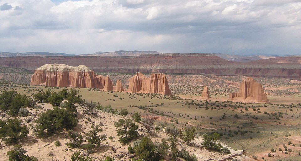 14 mi National ParkCapitol Reef National Park1.4M visitors a year
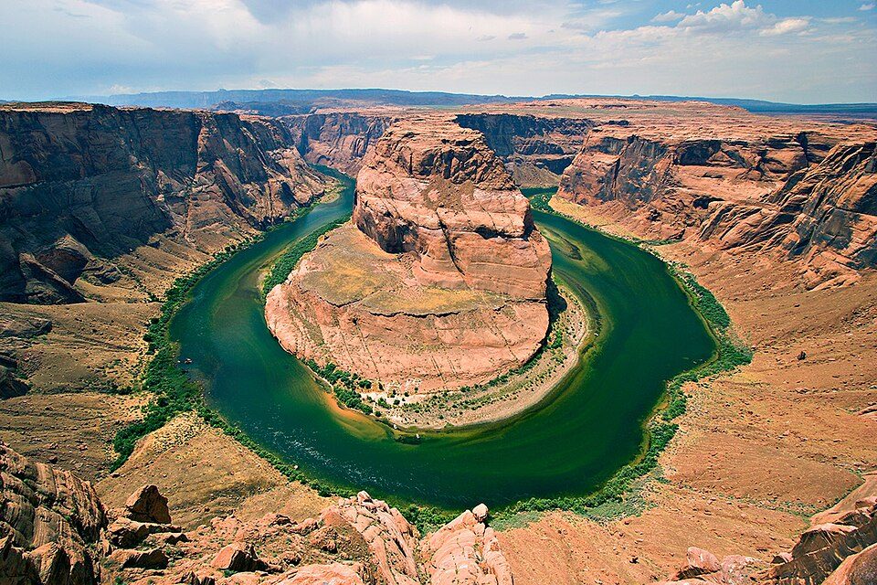 in town National Recreation AreaGlen Canyon National Recreation Area3.7M visitors a year
 31 mi National MonumentRainbow Bridge National Monument11K visitors a year
 19 mi LandmarkHole in the Rock
 35 mi National MonumentNatural Bridges National Monument70K visitors a year
Photo credits
Capitol Reef National Park: Bob Palin, CC BY-SA 2.5 · Glen Canyon National Recreation Area: User:Moondigger, CC BY-SA 2.5 · Rainbow Bridge National Monument: Jason Hickey, CC BY 2.0 · Hole in the Rock: G. Thomas at en.wikipedia, Public domain · Natural Bridges National Monument: Daniel Schwen, CC BY-SA 4.0


Moving to Halls Crossing: who provides what
Halls Crossing is unincorporated, so San Juan County and regional agencies provide most services.
EPA SDWIS (Oct 9, 2026) · HIFLD + EIA-861 2025 · Census 2020 ZCTAs · NCES 2024–25 · registration: vote.gov, updated Mar 13, 2026.
The data
Ordered by what stands out in Halls Crossing.
In Halls Crossing, trail density runs lower than in the typical Utah or U.S. town
1.8 miles of trail.
Trails & parks © OpenStreetMap contributors · Conserved land: USGS PAD-US
Compared with most of Utah and the rest of the country, the FEMA risk score in Halls Crossing is lower
Expected losses in Halls Crossing break down as 42% from avalanches and 19% from inland flooding.
FEMA National Risk Index · OpenFEMA
Mild winters and hot summers: that is Halls Crossing’s year
In July, afternoons reach 100°; in January, nights fall to 27°, and about 4 inches of snow falls in a winter.
Typical low → high °F
NOAA U.S. Climate Normals, 1991–2020
How healthy Halls Crossing is
Only 2 of the 119 Utah towns we compare have a higher share of adults who have diabetes than Halls Crossing. CDC measures, 32 in all: Halls Crossing beats Utah on 1 and trails on 14. The share of adults in Halls Crossing who binge drink: 11%.
| Halls Crossing | Utah towns | U.S. towns | |
|---|---|---|---|
| Frequent physical distress (CDC PLACES) | 16% | 12% | 14% |
| Feel lonely (CDC PLACES) | 30% | 33% | 33% |
| Diabetes (CDC PLACES) | 13% | 8.4% | 12% |
| Binge drink (CDC PLACES) | 11% | 11% | 16% |
| What stands out | Halls Crossing | UT |
|---|---|---|
| More adults treating high blood pressure | 71.2% | 65.6% |
| More adults with COPD | 7.6% | 4.6% |
CDC PLACES 2025 · modeled estimates for adults · CMS · HRSA
Everything we know about Halls Crossing
Colleges nearby
None within 15 miles of Halls Crossing; the nearest are
About Halls Crossing
CDP in Utah, United States
Halls Crossing is a census-designated place (CDP) on the western edge of San Juan County, Utah, United States. As of the 2020 census, Halls Crossing had a population of 4. State Route 276 crosses the Colorado River at Halls Crossing using the Charles Hall Ferry.
From Wikipedia, licensed CC BY-SA 4.0 · facts via Wikidata (CC0)
- Area
- 18 sq mi
- Elevation
- 3,842 ft
Questions about Halls Crossing
Short answers, built from the data on this page.
Is Halls Crossing, UT a good place to live?
We don’t grade Halls Crossing yet; the figures below are still real. A town in Utah.