Guest, Sign inJoin
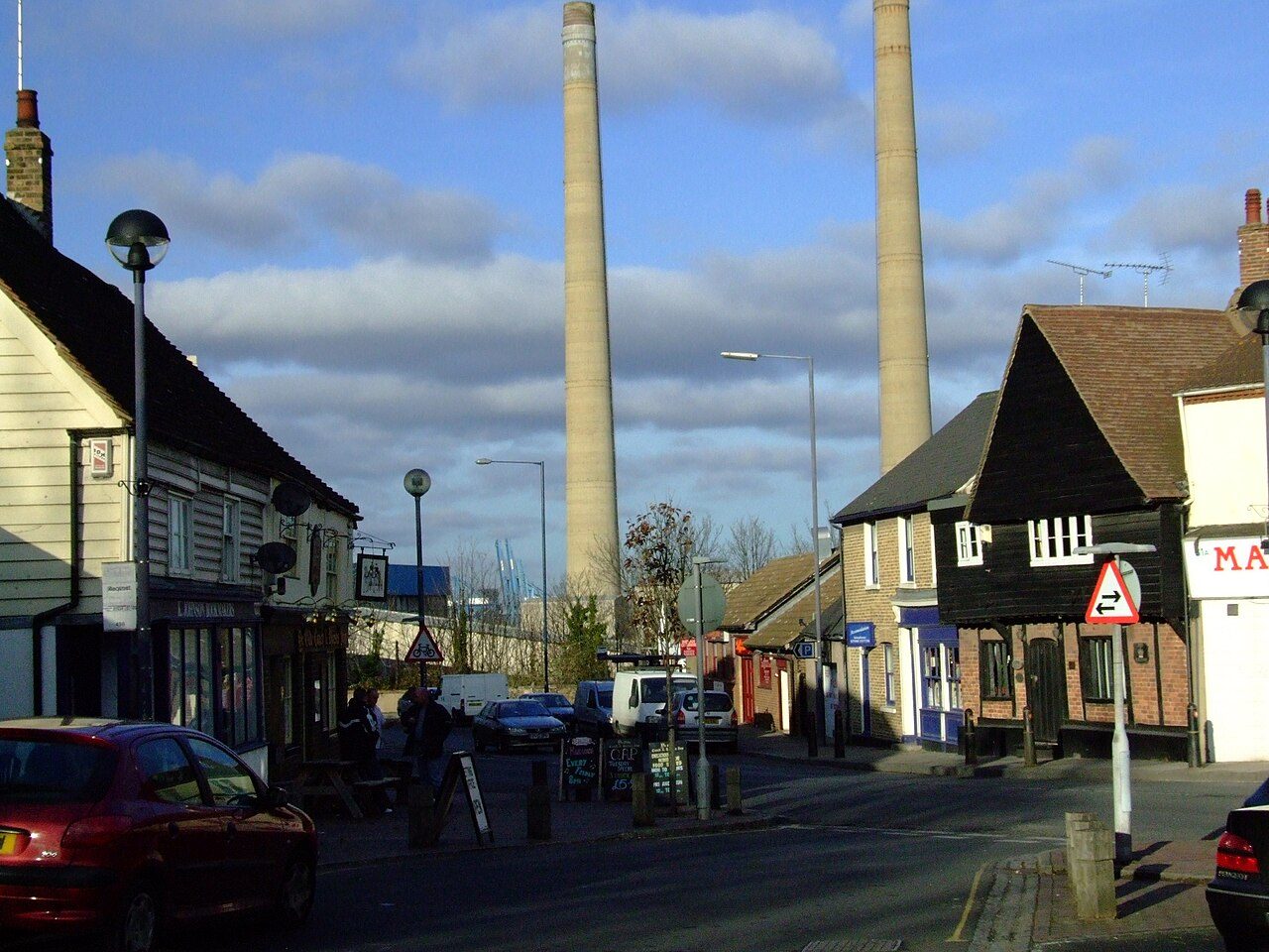
Market Street, DartfordDartford, #1 on this list · Photo: Chris Heaton · CC BY-SA 2.0
Kent rankings · Climate

Towns with the warmest summers in Kent

Dartford has the warmest summers of Kent’s 87 towns of 2,500+: July afternoons average a high of 23.6°C (Met Office, 1991–2020). The typical town here averages 22.7°C.

The average July high (the warmest month’s afternoons). Met Office HadUK-Grid 1991–2020 averages on its 2 km grid, the cells inside each town averaged (contains Met Office data © Crown copyright). A described list: no letters. The rank across England, Scotland, Wales and Northern Ireland sits beside each figure.
#1

Dartford

69,131 people
23.6°C

July high·24 days of 25°C+ a year·#20 of 2,537 in England, Scotland, Wales and Northern Ireland

#2

Northfleet

29,892 people
23.6°C

July high·24 days of 25°C+ a year·#22 of 2,537 in England, Scotland, Wales and Northern Ireland

#3

Ebbsfleet Valley

2,989 people
23.6°C

July high·24 days of 25°C+ a year·#23 of 2,537 in England, Scotland, Wales and Northern Ireland

All 87 towns, ranked

July high, highest first. Temperatures are ranked on two decimals and shown to one, so two towns showing the same figure can rank apart; towns smaller than a 2 km cell share its figures. Towns with the same figure share a rank (T = tied). Each rank across England, Scotland, Wales and Northern Ireland links to the national list.

Every town in Kent →

87 towns.

#TownJuly highDays 25°C+UK rank
1Dartford69,131 people23.6°C24#20 of 2,537 nationally
2Northfleet29,892 people23.6°C24#22 of 2,537 nationally
5Iwade4,533 people23.3°C19#62 of 2,537 nationally
6Whitstable32,185 people23.3°C16#63 of 2,537 nationally
T7Gravesend58,105 people23.2°C20#72 of 2,537 nationally
T7Herne14,874 people23.2°C17#72 of 2,537 nationally
9Hextable4,100 people23.2°C21#78 of 2,537 nationally
10Sittingbourne54,385 people23.2°C21#83 of 2,537 nationally
T13Darenth2,588 people23.1°C22#115 of 2,537 nationally
T13Stone6,438 people23.1°C23#115 of 2,537 nationally
T13Swanscombe15,462 people23.1°C24#115 of 2,537 nationally
T17Queenborough3,915 people23.1°C15#131 of 2,537 nationally
19Gillingham108,485 people23.1°C19#137 of 2,537 nationally
20Rochester67,279 people23.0°C20#166 of 2,537 nationally
21Sheerness13,253 people23.0°C13#187 of 2,537 nationally
T22Cliffe2,531 people23.0°C18#201 of 2,537 nationally
T22Cliffe Woods2,689 people23.0°C19#201 of 2,537 nationally
T22Higham2,642 people23.0°C18#201 of 2,537 nationally
T25Bearsted8,349 people23.0°C18#220 of 2,537 nationally
T25Coxheath8,453 people23.0°C16#220 of 2,537 nationally
T27Canterbury55,107 people22.9°C20#226 of 2,537 nationally
T27Eastchurch3,381 people22.9°C12#226 of 2,537 nationally
T27Herne Bay24,873 people22.9°C14#226 of 2,537 nationally
T30Headcorn3,293 people22.9°C21#242 of 2,537 nationally
T30Maidstone109,503 people22.9°C18#242 of 2,537 nationally
T30Marden3,489 people22.9°C19#242 of 2,537 nationally
T30Sturry4,857 people22.9°C22#242 of 2,537 nationally
34Newington2,691 people22.9°C18#257 of 2,537 nationally
T35Chartham3,569 people22.8°C17#297 of 2,537 nationally
T37Kings Hill9,963 people22.8°C17#313 of 2,537 nationally
T37Staplehurst6,181 people22.8°C20#313 of 2,537 nationally
39Hadlow3,168 people22.8°C19#328 of 2,537 nationally
T40Teynham3,128 people22.8°C21#337 of 2,537 nationally
T42Faversham20,941 people22.8°C21#360 of 2,537 nationally
T42Paddock Wood7,616 people22.8°C19#360 of 2,537 nationally
44Broadstairs25,780 people22.7°C11#365 of 2,537 nationally
45Tenterden7,775 people22.7°C16#372 of 2,537 nationally
46Larkfield26,147 people22.7°C20#381 of 2,537 nationally
47Margate63,315 people22.7°C12#395 of 2,537 nationally
T48Chatham76,956 people22.7°C17#410 of 2,537 nationally
T48Cuxton3,039 people22.7°C21#410 of 2,537 nationally
T48Halling2,926 people22.7°C21#410 of 2,537 nationally
T48Ramsgate42,031 people22.7°C8#410 of 2,537 nationally
T48Snodland11,820 people22.7°C21#410 of 2,537 nationally
54Tonbridge36,136 people22.6°C20#445 of 2,537 nationally
56Ashford82,143 people22.6°C17#499 of 2,537 nationally
T57Meopham4,349 people22.6°C15#504 of 2,537 nationally
T57Sevenoaks26,474 people22.6°C17#504 of 2,537 nationally
T59Swanley17,209 people22.5°C20#525 of 2,537 nationally
T64Ash (Dover)2,529 people22.5°C17#585 of 2,537 nationally
T64Sandwich4,258 people22.5°C14#585 of 2,537 nationally
66Edenbridge7,903 people22.4°C19#592 of 2,537 nationally
T68Southborough9,632 people22.3°C16#680 of 2,537 nationally
70Cranbrook3,962 people22.3°C14#684 of 2,537 nationally
71Pembury5,783 people22.3°C16#691 of 2,537 nationally
72Aylesham5,788 people22.2°C15#743 of 2,537 nationally
T73Hawkhurst3,683 people22.2°C15#748 of 2,537 nationally
75New Romney3,870 people22.1°C10#861 of 2,537 nationally
76Westerham3,390 people22.0°C15#884 of 2,537 nationally
T77Dymchurch3,097 people22.0°C9#892 of 2,537 nationally
80Deal28,992 people21.9°C7#1,010 of 2,537 nationally
81Lydd3,911 people21.9°C8#1,020 of 2,537 nationally
T83Folkestone51,987 people21.7°C8#1,123 of 2,537 nationally
T83Hythe14,613 people21.7°C8#1,123 of 2,537 nationally
85Dover36,349 people21.4°C8#1,331 of 2,537 nationally
Quick answers

Questions people ask

Which town in Kent has the warmest summers?

Dartford: July afternoons average a high of 23.6°C, with 24 days of 25°C or more in a typical year. Northfleet and Ebbsfleet Valley follow.

How are these towns ranked?

By the average July high, highest first, from the Met Office’s 1991–2020 averages on its 2 km grid: the cells inside the town, or the one nearest its centre for a town smaller than a cell. The figure is the one on each town’s Climate page.

Why isn’t my town on this list?

The list covers Kent’s towns of 2,500+ with the figure. Smaller places show it on their own pages; every town in Kent is on the county page.

Go deeper

More Kent lists

Every list ranks the same 2,500+ towns, so a town’s rank means the same thing on each.

All Kent rankings →
County by county

Towns with the warmest summers, county by county

Sources: . All under the Open Government Licence v3.0.

Contains public sector information licensed under the Open Government Licence v3.0. Contains HM Land Registry data © Crown copyright and database right 2026. Contains OS data © Crown copyright and database right 2026 (ONS boundaries). Northern Ireland: Source: NISRA; contains Land & Property Services data and Ordnance Survey of Northern Ireland information, © Crown copyright, licensed under the Open Government Licence v3.0. Scotland: contains National Records of Scotland data, Registers of Scotland data and SEPA data, © Crown copyright / © SEPA 2025, licensed under the Open Government Licence v3.0.