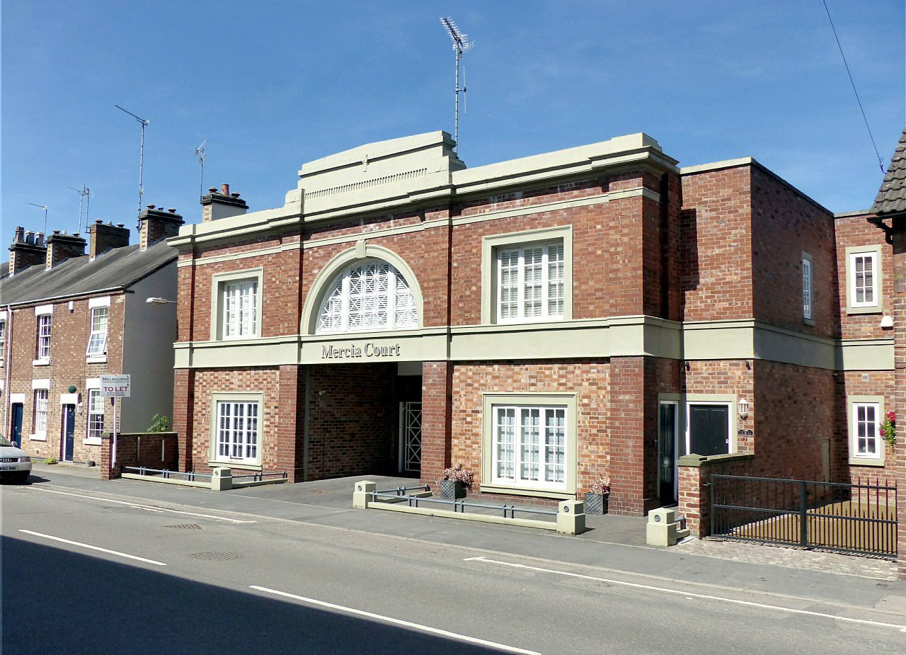
 Photo: Alan Murray-Rust · CC BY-SA 2.0
Parks and walks in Repton
A park or playing field is within a 5-minute walk for 36% of residents. Parks and playing fields in Repton add up to 0.8 ha for every 1,000 residents; the typical UK town has 2.1. Footpaths add up to 32 km in the town and the kilometre around it, 2.8 for every square kilometre. Repton grades D for the outdoors. A character grade: it isn’t part of the overall grade.
Repton grades D for the outdoors
Each chart is every UK town of 1,000 or more on one measure: the green bar is Repton, the dashed line the typical town. The number is the share of towns it beats; the five are averaged and the average ranked again.
100
100
100
100
100
Graded, never part of the overall grade (like History and Civic life). It measures what is mapped: OS Open Greenspace leaves out woodland and open-access land that isn’t a park, and OpenStreetMap’s rural paths are more complete in some places than others.
How Repton compares with UK towns of 2,700 to 2,900
The 60 UK towns and cities of 2,700 to 2,900 people with an Outdoors Grade. Hover a dot for its figures; tap one for its page.
Against towns its size, Repton stands out most for path per km²: only 16 of the other 59 have more. It falls furthest behind on park space per resident, where 50 of the others do better.
Show as a table
| Town | Outdoors | Green space | Near a park | Path per km² | Protected | |
|---|---|---|---|---|---|---|
| 1 | Lindford Hampshire | A+ | 17.1 | 100% | 4.7 | 42% |
| 2 | Settle North Yorkshire | A+ | 6.4 | 100% | 3.6 | 73% |
| 3 | Hadston Northumberland | A+ | 5.8 | 100% | 2 | 1% |
| 4 | Bruton Somerset | A | 9.3 | 100% | 2.5 | 1% |
| 5 | Penmaenmawr Clwyd | A | 1.7 | 78% | 3.4 | 39% |
| 6 | Martlesham Heath Suffolk | A− | 3.5 | 68% | 4.6 | 25% |
| 7 | Congresbury Somerset | A− | 8.5 | 67% | 3.5 | 10% |
| 8 | Jacksdale and Westwood Nottinghamshire | A− | 2.7 | 100% | 3.9 | 0% |
| 9 | Holywell Green and Stainland West Yorkshire | A− | 4 | 89% | 4.1 | 0% |
| 10 | Newhey Greater Manchester | B+ | 2.4 | 100% | 3.9 | 0% |
| 11 | Perranporth Cornwall | B+ | 1.3 | 75% | 3.4 | 4% |
| 12 | Buckfastleigh Devon | B+ | 2.9 | 89% | 1.3 | 53% |
| 13 | Mundesley Norfolk | B | 1.8 | 79% | 1.5 | 24% |
| 14 | Broadway Worcestershire | B | 2 | 65% | 3.6 | 56% |
| 15 | Charlbury Oxfordshire | B | 3.1 | 66% | 2.4 | 65% |
| 16 | Boverton South Glamorgan | B | 4.3 | 52% | 2.5 | 0% |
| 17 | Ormesby St Margaret Norfolk | B | 2.1 | 79% | 0.8 | 21% |
| 18 | Sutton-in-Craven North Yorkshire | B | 1.8 | 100% | 3.1 | 0% |
| 19 | Tollesbury Essex | B− | 2 | 85% | 2.2 | 0% |
| 20 | Chalgrove Oxfordshire | B− | 4.1 | 85% | 1.2 | 4% |
| 21 | Alltwen West Glamorgan | B− | 4.2 | 100% | 0.9 | 0% |
| 22 | Denby Dale West Yorkshire | B− | 0.7 | 100% | 4 | 0% |
| 23 | Pimperne Dorset | C+ | 1.9 | 72% | 1.9 | 89% |
| 24 | Shevington Moor Greater Manchester | C+ | 2.1 | 90% | 2.8 | 0% |
| 25 | Great Totham Essex | C+ | 2.8 | 100% | 1.3 | 0% |
| 26 | Hambrook and Nutbourne West Sussex | C+ | 1.2 | 28% | 2 | 69% |
| 27 | Snettisham Norfolk | C+ | 1.1 | 73% | 1.3 | 32% |
| 28 | Rhostyllen Clwyd | C+ | 1.1 | 68% | 3.7 | 10% |
| 29 | Bluntisham and Colne Cambridgeshire | C+ | 2.3 | 88% | 2.2 | 0% |
| 30 | Lostock Gralam Cheshire | C | 1.2 | 100% | 2.4 | 0% |
| 31 | Catterick North Yorkshire | C | 3.6 | 89% | 0.7 | 0% |
| 32 | Asfordby Leicestershire | C | 4 | 57% | 2.5 | 0% |
| 33 | Badsey Worcestershire | C | 2.8 | 54% | 1.9 | 5% |
| 34 | Woolton Hill and Highclere Hampshire | C | 1.2 | 60% | 2.3 | 70% |
| 35 | Kidwelly Dyfed | C | 2.8 | 56% | 1 | 0% |
| 36 | Buckden Cambridgeshire | C | 2.9 | 85% | 1.4 | 0% |
| 37 | Swavesey Cambridgeshire | C− | 1.8 | 80% | 2.4 | 0% |
| 38 | Cheswick Green West Midlands | C− | 1 | 77% | 3.4 | 0% |
| 39 | Tuxford Nottinghamshire | C− | 1.4 | 100% | 1 | 0% |
| 40 | Mere Wiltshire | C− | 1.6 | 34% | 1.5 | 54% |
| 41 | Gwaun-Cae-Gurwen West Glamorgan | C− | 1.1 | 80% | 0.8 | 26% |
| 42 | Tarvin Cheshire | C− | 1.2 | 90% | 1.9 | 0% |
| 43 | Clifton Bedfordshire | C− | 1.7 | 64% | 2.6 | 0% |
| 44 | Kirkbymoorside North Yorkshire | C− | 0.4 | 55% | 1.9 | 37% |
| 45 | Thorngumbald East Riding of Yorkshire | D | 1.3 | 69% | 0.5 | 0% |
| 46 | Willington Derbyshire | D | 1.8 | 67% | 2 | 0% |
| 47 | Brierley South Yorkshire | D | 0.7 | 82% | 2.1 | 0% |
| 48 | Catterall Lancashire | D | 1 | 47% | 1.9 | 9% |
| 49 | Croston Lancashire | D | 0.6 | 78% | 2.3 | 0% |
| 50 | Harbury Warwickshire | D | 1.6 | 73% | 1.7 | 0% |
| 51 | Larkhill Wiltshire | D | 1.1 | 68% | 2.5 | 0% |
| 52 | Ambrosden Oxfordshire | D | 1 | 78% | 2.1 | 0% |
| 53 | Sherburn County Durham | D | 0.2 | 0% | 4.1 | 0% |
| 54 | Berinsfield Oxfordshire | D | 0.1 | 0% | 2.1 | 11% |
| 55 | Terrington St Clement Norfolk | D | 1.5 | 53% | 0.4 | 0% |
| 56 | Seghill Northumberland | D | 0.2 | 41% | 3.1 | 0% |
| 57 | Repton Derbyshire | D | 0.8 | 36% | 2.8 | 0% |
| 58 | East Ayton and West Ayton North Yorkshire | D | 0.1 | 0% | 1.2 | 33% |
| 59 | Pickmere Cheshire | D− | 0.4 | 71% | 1.6 | 0% |
| 60 | Greetham Rutland | D− | 0.9 | 30% | 0.8 | 0% |
Parks, footpaths & countryside
Tap a number to zoom to a park. Tap a layer to hide it. The dashed line is Repton’s built-up area.
4 in 10 Repton residents live within a 5-minute walk of a park
Each square is 1 in 100 residents: green lives within 400 m of a public park, garden or playing field (Census 2021 output areas against OS Open Greenspace).
About 1,800 people live further than that. Playing fields count, so a park within reach isn’t always one with paths or trees; 8 playgrounds are mapped in and around the town, about one for every 346 residents.
The Peak District National Park is 15 mi away
Protected landscapes within 30 km, by direction and distance from the edge of the built-up area; circle size shows each one’s area. National Landscapes were called Areas of Outstanding Natural Beauty until 2023.
Peak District National Park covers 1,438 km² and has been a National Park since 1951.
1 waymarked walk passes through or near Repton
32 km of footpaths, bridleways and rights of way are mapped in Repton and the kilometre around it, 2.8 km for every square kilometre (the typical UK town has 3.0). Bars show each route’s kilometres within 2 km of the town.
The regional route here is the Trent Valley Way.
Waymarked walks are OpenStreetMap walking routes. Public rights of way are only as complete as the map in each area.
The best walking months in Repton: May to September
The town’s 1991–2020 averages (Met Office HadUK-Grid) and the daylight at its latitude. Outlined months have 12½+ hours of daylight, highs of 15 °C or more and little rain for the town.
| Jan | Feb | Mar | Apr | May | Jun | Jul | Aug | Sep | Oct | Nov | Dec | |
|---|---|---|---|---|---|---|---|---|---|---|---|---|
| Daylight (h) | 8.1 | 9.8 | 11.7 | 13.9 | 15.8 | 16.9 | 16.4 | 14.7 | 12.6 | 10.5 | 8.6 | 7.6 |
| High (°C) | 7 | 8 | 10 | 13 | 17 | 19 | 22 | 21 | 18 | 14 | 10 | 7 |
| Rain (mm) | 58 | 48 | 50 | 51 | 52 | 66 | 68 | 66 | 61 | 73 | 69 | 72 |
February is the driest month (48 mm) and July the warmest (highs of 22 °C). Winter days are short, about 8 hours of daylight in December, and 73 mm of rain falls in October, the wettest month. Frost comes on about 47 nights a year. The climate in Repton →
8 playgrounds and the nearest beaches
Mapped within 2 km of the town in OpenStreetMap, against the typical UK town its size per resident. Named places are listed with directions; unnamed ones are only counted.
The nearest beaches
Repton is inland. These are the nearest named beaches, measured from the edge of the town.
Check the water before you swim. The Environment Agency tests designated bathing waters from May to September and publishes a rating for each beach.
Every named place, with directions
Hills and peaks 1
Nature reserves 1
Playgrounds 8
Plus 8 playgrounds without a name on the map.
The outdoors in nearby towns
The nearest towns of 1,000+ within 12 miles. Tap a town for its outdoors page.
| Town | Outdoors | Green space, ha per 1,000 | Near a park | Protected within 5 km |
|---|---|---|---|---|
| Repton | D | 0.8 | 36% | 0% |
| Willington 1.1 mi | D | 1.8 | 67% | 0% |
| Findern 2.5 mi | D | 1.8 | 40% | 0% |
| Stretton 3.1 mi | C− | 3.7 | 49% | 0% |
| Etwall 3.6 mi | C+ | 2.3 | 100% | 0% |
| Rolleston on Dove 4.2 mi | C+ | 3.8 | 84% | 0% |
| Hilton 4.2 mi | C− | 1.1 | 89% | 0% |
Etwall, 3.6 miles away, grades C+, the best next door: every resident lives within 400 m of a park. Willington, Findern and Stretton have at least twice Repton’s green space per resident. None of the neighbours has a protected landscape within 5 km either.
Questions about the outdoors in Repton
Is Repton near a National Park?
Yes. Peak District National Park begins 15 mi north-west of the town’s edge. It covers 1,438 km² and has been a National Park since 1951.
What are the best walks near Repton?
1 waymarked walking route passes within 2 km of the town, including the Trent Valley Way.
What is the nearest beach to Repton?
library, 21 mi from the edge of the town, then The Beach (30 mi). Repton itself is inland.
How many people in Repton live near a park?
36% of residents live within 400 m, about a 5-minute walk, of a public park, garden or playing field (Census 2021 output areas against OS Open Greenspace). The typical UK town is 83%.
When is the best time of year for walking in Repton?
May to September: the longest days, the warmest afternoons and the least rain of the year, from the Met Office 1991–2020 averages.
Is Repton good for walking?
About average for paths: 2.8 km of footpath and right of way per square kilometre, more than 54% of UK towns. For park space per person it beats 9% (0.8 ha per 1,000 residents).
How is the Outdoors Grade worked out?
From five measures, each placed among UK towns of 1,000 or more: public green space per resident, the share living near a park, National Park or National Landscape within 5 km, footpaths per square kilometre, and the sea within 5 km. It is a character grade and isn’t part of Repton’s overall grade.
Where Repton’s outdoors figures come from
- Parks and green space: Ordnance Survey OS Open Greenspace (parks and gardens, playing fields, play spaces, and their access points). Contains OS data © Crown copyright and database right 2026, Open Government Licence v3.0.
- National Parks and National Landscapes: Natural England and Natural Resources Wales boundaries, areas and designation dates, Open Government Licence v3.0.
- Footpaths, walking routes, beaches and things to do: © OpenStreetMap contributors, Open Database License (ODbL), via Geofabrik, 16 October 2026.
- Historic parks, listed buildings and monuments: Historic England, National Heritage List for England, Open Government Licence v3.0.
- Rain and temperature: Met Office HadUK-Grid 1991–2020 averages for the town; daylight calculated from its latitude.
- The sea: ONS Countries (December 2024) boundaries clipped to mean high water. Residents near a park: ONS Census 2021 output areas.
- Grade: TownRatings’ Outdoors Grade, ranked against UK towns only.
Contains public sector information licensed under the Open Government Licence v3.0. Contains HM Land Registry data © Crown copyright and database right 2026. Contains OS data © Crown copyright and database right 2026 (ONS boundaries). Northern Ireland: Source: NISRA; contains Land & Property Services data and Ordnance Survey of Northern Ireland information, © Crown copyright, licensed under the Open Government Licence v3.0. Scotland: contains National Records of Scotland data, Registers of Scotland data and SEPA data, © Crown copyright / © SEPA 2025, licensed under the Open Government Licence v3.0.