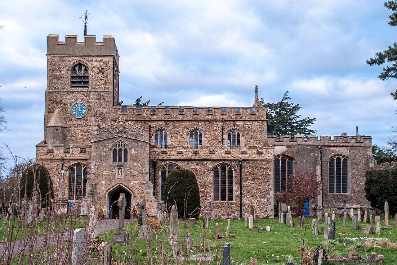
 Photo: Ben Wilkinson · CC BY 3.0
Few UK towns have warmer summer afternoons than Girton
The coldest hours of a January night bottom out at 1.8°C (35°F) on average. By rainfall alone, it ranks drier than 97% of UK towns. Temperatures cover 22°C across the year, low to high. Expect about 41 frosty starts a year, nights when the air falls below freezing.
Met Office 1991–2020 averages for the town itself.
A year in Girton at a glance
Each month’s typical high and low, in °C.
What a year in Girton feels like
Typical highs and lows by season and by month, from the Met Office’s 1991–2020 averages.
About 569 mm of rain a year
August is the wettest month and March the driest. About 12 days a year bring 10 mm (0.4 in) or more. 30th wettest of 51 Cambridgeshire towns of 2,500+.
Rain by month
Millimetres
41 air frosts and 22 days of 25°C a year
On about 41 nights a year the air drops below freezing, and on about 1 days it stays below freezing all day. About 22 days a year reach 25°C (77°F).
Day counts are 1991–2020 averages from the Met Office’s 2 km grid. The Met Office calls a day of 25°C or more a summer day and a night below 0°C an air frost; ground frosts, on grass, come more often.
The Met Office station at Cambridge NIAB
Cambridge NIAB is 1.1 miles north-east of Girton, 26 m (85 ft) above sea level. It is the nearest of the 37 long-running stations the Met Office publishes in full.
| Month | High | Low | Rain | Air frosts |
|---|---|---|---|---|
| January | 7.7°C | 1.9°C | 49 mm | 9.0 |
| February | 8.3°C | 1.8°C | 36 mm | 8.7 |
| March | 11.0°C | 3.1°C | 33 mm | 5.2 |
| April | 14.1°C | 4.7°C | 38 mm | 2.6 |
| May | 17.4°C | 7.4°C | 43 mm | 0.6 |
| June | 20.4°C | 10.5°C | 49 mm | 0.0 |
| July | 23.1°C | 12.6°C | 48 mm | 0.0 |
| August | 22.9°C | 12.6°C | 56 mm | 0.0 |
| September | 19.6°C | 10.5°C | 51 mm | 0.0 |
| October | 15.1°C | 7.9°C | 59 mm | 0.7 |
| November | 10.7°C | 4.5°C | 53 mm | 3.7 |
| December | 8.0°C | 2.2°C | 50 mm | 9.2 |
| Year | 14.9°C | 6.6°C | 563 mm | 40 |
Met Office historic station data, Cambridge NIAB, 1991–2020 months averaged (a month needs 20 of the 30 years; estimated values counted, missing months left out). Sunshine: Campbell-Stokes recorder.
How Girton compares
Against the 2,537 towns and cities of 2,500 or more across the UK, each with its own Met Office averages, and its place among Cambridgeshire towns that size.
Nearby towns’ climate
The nearest towns of 1,000+ within 12 miles: a hill, a valley or the sea can make a real difference over a few miles.
| Town | July high | January low | Rain a year |
|---|---|---|---|
| Girton | 23.4°C | 1.8°C | 569 mm |
| Histon and Impington 1.4 mi | 23.1°C about the same | 1.8°C about the same | 563 mm |
| Oakington 1.9 mi | 23.0°C about the same | 1.8°C about the same | 574 mm |
| Bar Hill 2.9 mi | 23.1°C about the same | 1.7°C about the same | 540 mm |
| Cambridge 3.1 mi | 23.3°C about the same | 1.8°C about the same | 563 mm |
| Milton 3.2 mi | 23.4°C about the same | 1.8°C about the same | 568 mm |
| Hardwick 3.6 mi | 23.0°C about the same | 1.5°C about the same | 576 mm |
Girton weather by month
Average daily high and low, mean temperature and rain, 1991–2020, for the town itself (the Met Office’s HadUK-Grid).
| Month | High | Low | Mean | Rain |
|---|---|---|---|---|
| January | 7.8°C 46°F | 1.8°C 35°F | 4.8°C | 50 mm 2.0 in |
| February | 8.6°C 47°F | 1.8°C 35°F | 5.2°C | 36 mm 1.4 in |
| March | 11.3°C 52°F | 3.1°C 38°F | 7.2°C | 35 mm 1.4 in |
| April | 14.6°C 58°F | 4.7°C 41°F | 9.7°C | 38 mm 1.5 in |
| May | 17.9°C 64°F | 7.6°C 46°F | 12.7°C | 45 mm 1.8 in |
| June | 20.9°C 70°F | 10.5°C 51°F | 15.7°C | 51 mm 2.0 in |
| July | 23.4°C 74°F | 12.7°C 55°F | 18.0°C | 46 mm 1.8 in |
| August | 23.1°C 74°F | 12.6°C 55°F | 17.8°C | 58 mm 2.3 in |
| September | 19.8°C 68°F | 10.3°C 51°F | 15.1°C | 48 mm 1.9 in |
| October | 15.4°C 60°F | 7.6°C 46°F | 11.5°C | 57 mm 2.3 in |
| November | 10.9°C 52°F | 4.4°C 40°F | 7.7°C | 55 mm 2.2 in |
| December | 8.1°C 47°F | 2.1°C 36°F | 5.1°C | 51 mm 2.0 in |
| Year | 15.1°C | 6.6°C | 10.9°C | 569 mm |
Where Girton’s numbers come from
Averages over 30 years, not a forecast.
- Mean temperature, rain and day counts: HadUK-Grid 1991–2020 averages for the Met Office 2 km grid square nearest Girton’s centre (the town is smaller than one square).
- Highs and lows: the Met Office publishes average daily maxima and minima on its 12 km grid; each is moved by the difference between the town’s 2 km mean temperature and the 12 km square’s, which carries the town’s own height and setting over.
- Weather station and sunshine: Met Office historic station data for Cambridge NIAB, 1.1 miles away, months of 1991–2020 averaged.
- Comparisons: every town and city of 2,500 or more across the UK, all four nations, read the same way.
Met Office HadUK-Grid · Met Office Climate Data Portal · Historic station data. Open Government Licence v3.0.
Questions about Girton’s climate
How warm does Girton get in summer?
July is the warmest month, with average highs of 23.4°C (74°F). About 22 days a year reach 25°C (77°F), more than 95% of UK towns.
How cold does Girton get in winter?
February nights average 1.8°C (35°F). The air drops below freezing on about 41 nights a year, and about 1 days a year stay below freezing all day.
How much rain does Girton get?
About 569 mm (22 in) a year, less than 97% of UK towns. August is the wettest month (58 mm) and March the driest (35 mm).
Where do these figures come from?
The Met Office’s HadUK-Grid 1991–2020 averages, which turn thousands of weather stations into a map of the UK in 2 km squares; the page reads the squares inside Girton. They are 30-year averages, not a forecast.
Contains Met Office data © Crown copyright 2026, Open Government Licence v3.0. HadUK-Grid 1991–2020 averages via the Met Office Climate Data Portal; station averages from Met Office historic station data. Today’s forecast for Girton →
Contains public sector information licensed under the Open Government Licence v3.0. Contains HM Land Registry data © Crown copyright and database right 2026. Contains OS data © Crown copyright and database right 2026 (ONS boundaries). Northern Ireland: Source: NISRA; contains Land & Property Services data and Ordnance Survey of Northern Ireland information, © Crown copyright, licensed under the Open Government Licence v3.0. Scotland: contains National Records of Scotland data, Registers of Scotland data and SEPA data, © Crown copyright / © SEPA 2025, licensed under the Open Government Licence v3.0.