San Antonio has 144 places on the National Register, 8 of them National Historic Landmarks
More historic than 87% of U.S. towns · #9 of 642 in Texas. What drives it
Dated to 1718 (Wikidata), with 5% of its homes built before 1940 and 27 historic districts holding 3,027 contributing buildings. Most of San Antonio was built recently: 5% of its homes predate 1940 and the median home dates from 1985. Below: 5 old photos and papers, maps from 1885 on, the census since 1850, and every listing on the Register.
Founding year: Wikidata. First post office: 1835.The full story ↓
History grade
What drives San Antonio’s History grade
On its age, its old homes and the National Register, San Antonio is more historic than 87% of U.S. towns, #9 of 642 in Texas. Its age holds the grade up; its share of homes from before 1940 pulls it down.
A
HistoryA character grade: shown, never part of San Antonio’s overall grade.
Among the 400 U.S. cities of 100,000 or more, San Antonio ranks #92 on History.
Few Texas towns list much on the Register (a typical Texas town has 0.0 per 10,000 residents, the U.S. 2.4), so San Antonio’s 20.5 sits above most of its state (90% of Texas towns have fewer) while its 3,027 historic buildings outnumber those of 100% of U.S. towns.
NoteThe founding year comes from Wikidata alone; no second source gives 1718.
How sure. Graded on any two of the three inputs instead, the letter would range from B+ to A+. The pre-1940 share (±0.2 points) is firm at this size. A citywide figure averages neighborhoods that differ a lot.
Founding year: Wikidata (other dates in Quick answers). Homes: Census ACS 2020–24. National Register: National Park Service, May 2026 list; each listing counted once (boundary changes and added documentation belong to their listing), and a historic district counts its contributing buildings. How TownRatings grades history →
What stands out about San Antonio’s past
Read from the archive, the National Register and the record. The page puts what stands out first.
The country’s official list of buildings and places worth saving. 8 are National Historic Landmarks, the highest tier. Boundary changes and added documentation are counted with their listing.
Brooks Air Force BasemilitaryEckert Oil FieldoilfieldGas Ridge Oil FieldoilfieldHuebner Road QuarrymineNimitz Post Officepost officePeacock Military AcademyschoolSan Antonio Post Office - Cresthaven Stationpost officeSojourner SchoolschoolSouthton Oil FieldoilfieldStandard Industries Airportairport
28family graveyards and cemeteries inside San Antonio
Beitel MemorialClassenDavenportEastviewFort Sam Houston NationalGates of Heaven MemorialHelotesHernandezHoly Cross Catholic Cemetery and MausoleumLocke HillLona ChinaMeadowlawn Memorial ParkMission Burial ParkMission Burial ParkMission Burial ParkMission EspadaMission North Burial ParkRoselawn Memorial ParkRuizSan Antonio NationalSan Fernando Cemetery Number 1San Fernando Cemetery Number 2San Jose Burial ParkSan Jose MissionSchulmeierSunset Memorial ParkTampkeWetmore Community
See all 28
Beitel Memorial Cemetery · Classen Cemetery · Davenport Cemetery · Eastview Cemetery · Fort Sam Houston National Cemetery · Gates of Heaven Memorial Cemetery · Helotes Cemetery · Hernandez Cemetery · Holy Cross Catholic Cemetery and Mausoleum · Locke Hill Cemetery · Lona China Cemetery · Meadowlawn Memorial Park · Mission Burial Park · Mission Burial Park · Mission Burial Park · Mission Espada Cemetery · Mission North Burial Park · Roselawn Memorial Park · Ruiz Cemetery · San Antonio National Cemetery · San Fernando Cemetery Number 1 · San Fernando Cemetery Number 2 · San Jose Burial Park · San Jose Mission Cemetery · Schulmeier Cemetery · Sunset Memorial Park · Tampke Cemetery · Wetmore Community Cemetery
US Post Offices dataset (Blevins & Helbock, CC0). Places and cemeteries from the USGS Geographic Names Information System (2021).
At the time of European encounter, the Payaya people lived near the San Antonio River Valley in the San Pedro Springs area. They called the vicinity Yanaguana, meaning "refreshing waters". In 1691, a group of Spanish explorers and missionaries came upon the river and Payaya settlement on June 13, the feast day of St. Anthony of Padua. They named the place and river "San Antonio" in his honor.
On April ."Id, is"", the City of San Antonio gave the original contract of the San Antonio Water Works Company to J. B. Laco.ste and a.ssociates, in which the latter were to supply the City of San Antonio with water, using the Head of the San Antonio River as a source of supply. The work was to be begun " six months from the date of the arrival of the Railroad," and to be finished within
Text read by machine from the scan; it may contain errors.
History and legends of the Alamo and other missions in and around San Antonio1917Read the page →
Read the text
The famous company known as "la compania volante del Alamo de Parras," came in 1805, and remained at San Antonio de Valero so long that they are referred to in the archives of Bexar as "the ancient company." The troops were first stationed without the walls of the mission but the depredations of the savages were so frightful and continuous that they were soon compelled to take refuge within the walls. From the
Text read by machine from the scan; it may contain errors.
It was in the course of this litigation — a copy of the proceedings in which, "filling thirty volumes of manuscript," was tran.smitted to Spain — that the old document hereinbefore referred to as the testimonio de un Parecer had its origin. In this ])aper San Antonio is called San Antonio de Vejar o Valero: \'ejar being the Spanish orthography of the Mexican Bexar (pronounced \"ay-har. ) This name San Antonio de Bexar, seems to have attached itself particularlyto the military post, or presidio; its origin is not known. The town of San Fernando was still so called at this time: and the town and mi.ssion of San Antonio de \'alero bore that
Text read by machine from the scan; it may contain errors.
Scans and text from the Internet Archive. Books published in 1930 or earlier, which are in the public domain.
Timeline
San Antonio, 1718 to 1964
Woven from the archive, old maps, post office records, the National Register and the people born here.
Nothing in the archives for these yearsWeddings on Main Street, storms, parades, school pictures, the old store. If it’s in your family album, it belongs here.
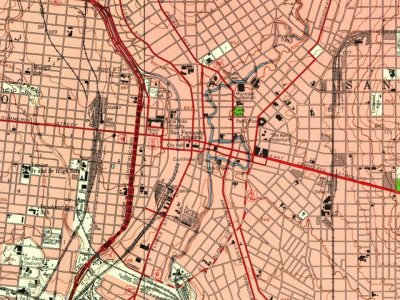
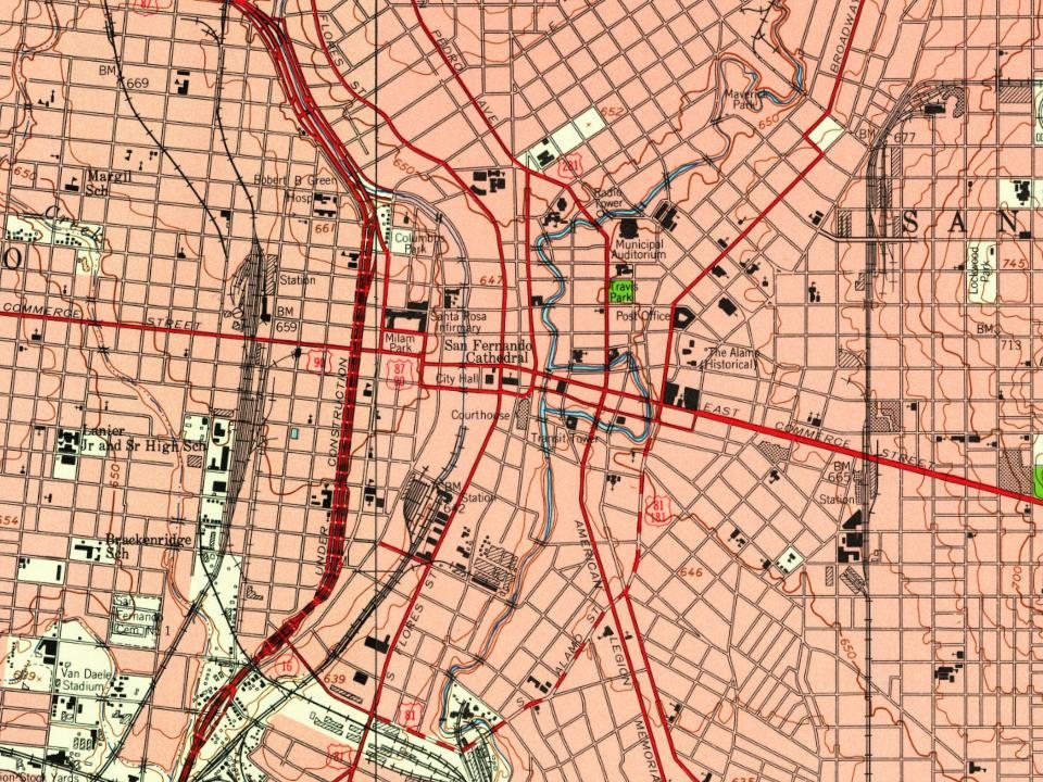
Every edition of the U.S. Geological Survey’s map of San Antonio. Tap a year, or press play to watch the town change.
1953San Antonio East sheet · 1:24,000
U.S. Geological Survey historical topographic maps (public domain), via Esri’s collection of the scans. The red ring marks the center of San Antonio.
Every building
San Antonio, building by building, 1885–1912
Fire insurance maps drew every building, what it was made of and what it was used for, so insurers could price the risk of fire. Pick a year, then a sheet.
In 1718, according to Wikidata. San Antonio’s post office opened in 1835, and the census of 1850 counted 3,488 people here.
How does San Antonio rank for history?
San Antonio is more historic than 87% of U.S. towns, #9 of 642 in Texas. The History grade combines the town’s founding era, the share of homes built before 1940 and its National Register listings. It’s a character grade, so it isn’t part of the overall grade. How it works.
What is on the National Register in San Antonio?
144 listings, 8 of them National Historic Landmarks: 106 buildings, among them the Jose Antonio Navarro House Complex (a National Historic Landmark since 2016) and the Alamo, The (listed 1966, the first), 27 historic districts with 2,653 contributing buildings, 3 sites, 6 structures, and 2 objects. 3,027 historic buildings in all.
How old are the homes in San Antonio?
5% of San Antonio’s homes were built before 1940 (Census estimate), against a typical 1.6% for a Texas town; the median home was built in 1985.
Founding dates: Wikidata, Wikipedia, the U.S. post office records of Blevins & Helbock (CC0) and the Census. Homes by year built: Census ACS 2020–24. National Register of Historic Places: National Park Service (list of May 22, 2026). Old photos, postcards and papers: Wikimedia Commons, the Library of Congress and other public archives, credited on each item’s page. Maps: U.S. Geological Survey historical topographic maps (via Esri) and Sanborn fire-insurance maps (Library of Congress). History text and census tables: Wikipedia (CC BY-SA 4.0). Places that used to be: USGS Geographic Names Information System (2021).
From the Library of Congress (5), the National Register of Historic Places (144), Wikipedia, Wikidata and Wikipedia for famous people, U.S. Geological Survey historical maps, U.S. Census counts (via Wikipedia), the US Post Offices dataset (Blevins & Helbock), the USGS Geographic Names Information System, Sanborn fire insurance maps (Library of Congress) and old county and town histories (Internet Archive). Archive images are copied here with their credits and licenses, shown on each photo’s page. Refreshed monthly.


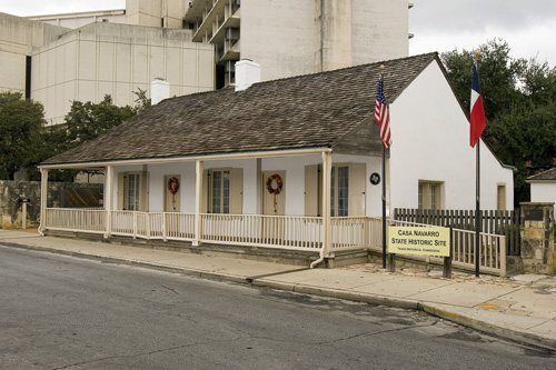 ★ Landmark
 ★ Landmark
 ★ Landmark
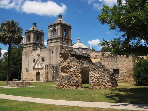 ★ Landmark
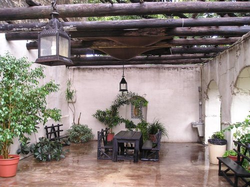 ★ Landmark
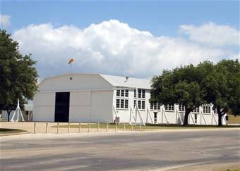 ★ Landmark
 ★ Landmark
 ★ Landmark


![It was in the course of this litigation — a copy of the proceedings in which, "filling thirty volumes of manuscript," was tran.smitted to Spain — that the old document hereinbefore referred to as the testimonio de un Parecer had its origin. In this ])aper San Antonio is called San Antonio de Vejar …](https://images.townratings.com/story/17700/bk-26858f6324d397f1-l.jpg)