PalmerTX
A town of 1,435.
Is Palmer a good place to live?
Palmer’s weakest subject grade is a D− for walkability. 76% of residents live below the poverty line in Palmer, above both the Texas town median (12%) and the median of U.S. towns (9.6%). On walkability, just 18 of Texas’ 999 towns do worse. CDC estimates put its residents' health behind 94% of the country. On the outdoors, just 99 of Texas’ 1,000 towns do worse. Palmer has fewer than 2,500 residents, so it gets subject grades but no overall grade.
1,435 people, and everyone knows the way
In a town this size, neighbors are the best guide. Ask them anything.
How Palmer grades
Each subject compared with towns across the country (schools within Texas), ordered by how far Palmer is from typical.
How TownRatings grades towns →
Moving to Palmer: who provides what
Palmer is unincorporated, so Cameron County and regional agencies provide most services.
EPA SDWIS (Oct 9, 2026) · HIFLD + EIA-861 2025 · Census 2020 ZCTAs · NCES 2024–25 · registration: vote.gov, updated Nov 18, 2024.
The data
Ordered by what stands out in Palmer.
Palmer stands out in Texas and nationally, with more of its adults who worry about having enough food
47% of adults worry about having enough food in Palmer, against 20% in Texas’ towns and 14% across U.S. towns. 37% of Palmer adults say their health is fair or poor. Palmer beats the Texas average on 2 of 31 CDC measures and trails it on 19.
| Palmer | Texas towns | U.S. towns | |
|---|---|---|---|
| Fair or poor health (CDC PLACES) | 37% | 24% | 19% |
| Get no exercise (CDC PLACES) | 42% | 30% | 25% |
| Food insecurity (CDC PLACES) | 47% | 20% | 14% |
| Yearly checkup (CDC PLACES) | 68% | 74% | 79% |
| What stands out | Palmer | TX |
|---|---|---|
| Fewer adults who have had cancer | 3.1% | 6.1% |
| Fewer adults with arthritis | 16.7% | 21.6% |
| More adults facing food insecurity | 47.1% | 19.3% |
CDC PLACES 2025 · modeled estimates for adults · CMS · HRSA
With 0.0 jobs for every working resident, most of Palmer’s workers commute out
The top destinations are Brownsville (22%), Harlingen (19%) and San Benito (10%). Half commute less than 14 miles.
Where working residents work
Census LEHD 2023 · ACS
Hurricanes leads a high hazard risk in Palmer
Expected storm and flood damage is higher than in 74% of U.S. communities.
FEMA National Risk Index · OpenFEMA
In Palmer, expect mild winters and hot summers
Palmer has warm winters and hot summers. The July high in Palmer is 96°F.
Typical low → high °F
NOAA U.S. Climate Normals, 1991–2020
Starbase and 9 more within 40 miles
Museums, parks, gardens and other places to visit around Palmer. Close and well known come first.
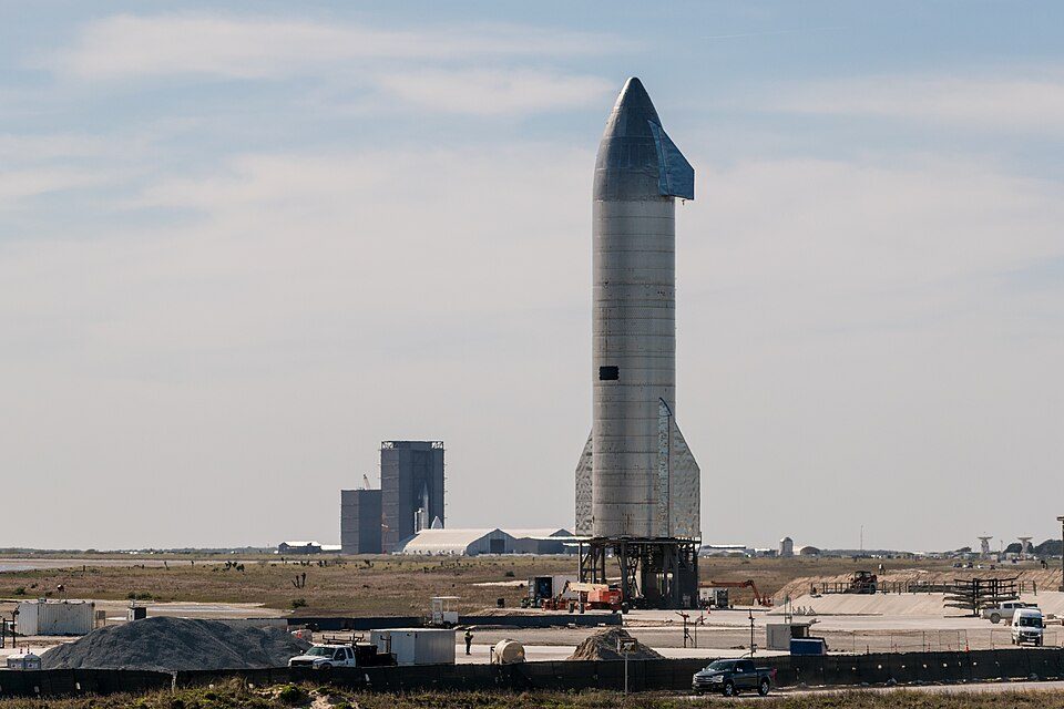 Big draw29 mi Park & preserveStarbase
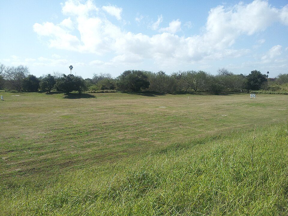 16 mi LandmarkFort Brown
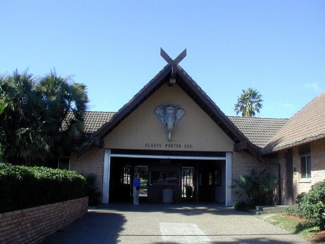 14 mi Zoo & aquariumGladys Porter Zoo34 mi Stadium & arenaRobert and Janet Vackar Stadium
 35 mi Stadium & arenaBert Ogden Arena
 10 mi National Historical ParkPalo Alto Battlefield National Historical Park169K visitors a year
Photo credits
Starbase: Jared Krahn, CC BY-SA 4.0 · Fort Brown: Pi3.124, CC BY-SA 3.0 · Gladys Porter Zoo: Jc161991, CC BY-SA 3.0 · Bert Ogden Arena: Wikidude10000, CC0 · Palo Alto Battlefield National Historical Park: Schmorleitz, CC BY-SA 3.0


Everything we know about Palmer
Colleges nearby
1 within 15 miles of the center of Palmer
About 5 of every 100 Palmer residents are enrolled in college, about the same as Texas.
100% of working residents leave Palmer for work
Where Palmer’s working residents go each day. Line width shows the share.
Census LEHD 2023
About Palmer
Census-designated place in Texas, United States
Palmer is a colonia and census-designated place (CDP) in Cameron County, Texas, United States. It was first listed as a CDP prior to the 2020 census. It is in the southern part of the county, bordered to the west by San Benito, to the northeast by Brownsville, to the east by Rice Tracts, to the south by Encantada-Ranchito-El Calaboz, and to the southwest by La Paloma. It is 5 miles (8 km) south of the center of San Benito and 18 miles (29 km) northwest of downtown Brownsville. The Resaca del Rancho Viejo, a southeast-flowing tributary of the Rio Grande, flows through the northern part of the community.
From Wikipedia, licensed CC BY-SA 4.0 · facts via Wikidata (CC0)
- Area
- 1.2 sq mi
- Elevation
- 46 ft