Is Indian Hills a good place to live?
Indian Hills grades D overall, better than 8% of U.S. towns. The ranking puts it 529th of 640 in Texas. Its weakest is health — on CDC estimates, its residents' health ranks in the bottom 2% nationally. Incomes are weaker too: the median household income is $33K, and 67% of residents live below the poverty line. Where it does best is cost of living: a typical home costs about $54K, 1 years of the McAllen metro’s $54K median household income. Only 4 of the 642 Texas towns we compare have a higher share of children under 18 than Indian Hills. Indian Hills's schools rank behind 72% of the state's. Indian Hills’ January low is 50°F, where Texas’ towns sit at 37°F and U.S. towns at 22°F.
Figures: home values, Zillow · incomes, Census ACS, 2020–24 · health, CDC PLACES · schools, state test and graduation results · NOAA normals, 1991–2020.
How Indian Hills grades
Each subject compared with towns across the country (schools within Texas), ordered by how far Indian Hills is from typical.
How TownRatings grades towns →
100% of working residents leave Indian Hills for work
Where Indian Hills’s working residents go each day. Line width shows the share.
Census LEHD 2023
The data
Ordered by what stands out in Indian Hills.
Indian Hills has more 90° days than nearly all U.S. towns, but it has poverty well above the Texas rate and has little public open land.
A larger share of adults in Indian Hills worry about having enough food than in the typical Texas or U.S. town
In Indian Hills, 50% of adults get no exercise outside work. Only 3 of the 641 Texas towns we compare have a higher share of adults who report frequent physical distress than Indian Hills. Two figures for adults here: 51% have obesity, 22% have diabetes. The town does better than the Texas average on 1 of 31 CDC measures and worse on 25.
| Indian Hills | Texas towns | U.S. towns | |
|---|---|---|---|
| Fair or poor health (CDC PLACES) | 48% | 24% | 19% |
| Obesity (CDC PLACES) | 51% | 37% | 35% |
| Diabetes (CDC PLACES) | 22% | 13% | 12% |
| Frequent mental distress (CDC PLACES) | 23% | 18% | 17% |
| What stands out | Indian Hills | TX |
|---|---|---|
| Fewer adults who have had cancer | 3.3% | 6.1% |
| More adults facing food insecurity | 56.2% | 19.3% |
CDC PLACES 2025 · modeled estimates for adults · CMS · HRSA
0% of Indian Hills is conserved land
Just 0 of its 1,620 acres are conserved, so there is little public open land in Indian Hills itself; its outdoors grade is D.
The density of trails in Indian Hills is 0.6 miles per square mile. 1.5 miles of trail.
Trails & parks © OpenStreetMap contributors · Conserved land: USGS PAD-US
Indian Hills stands out in Texas and nationally, with more of its residents who live below the poverty line
Indian Hills has 10 jobs for its 887 working residents: even if every job went to a resident, most would still commute out.
Among 642 Texas towns, just 10 have a lower median household income than Indian Hills. Indian Hills’ average trip to work stands at 23 minutes. The top destinations are Weslaco (17%), McAllen (11%) and Mercedes (9%). The median commute is under 16 miles.
| Indian Hills | Texas towns | U.S. towns | |
|---|---|---|---|
| Below the poverty line | 67% | 12% | 9.6% |
| Median household income | $33,000 | $69,000 | $80,000 |
| Average trip to work | 23 minutes | 25 minutes | 25 minutes |
Where working residents work
Census LEHD 2023 · ACS
Expect mild winters and hot summers in Indian Hills
The Santa Rosa 3 Wnw weather station, 5 miles away, records that about 166 days a year reach 90°, more than in 99% of U.S. towns. January nights average 50.3°, milder than in 99% of U.S. towns; July afternoons average 96.7°.
Snow almost never falls. In Indian Hills, the midsummer high is 97°F.
| Indian Hills | Texas towns | U.S. towns | |
|---|---|---|---|
| January low | 50°F | 37°F | 22°F |
| July high | 97°F | 95°F | 85°F |
Typical low → high °F
NOAA U.S. Climate Normals, 1991–2020
The biggest natural risk in Indian Hills is hurricanes, at a high overall level
Indian Hills’ risk rating from FEMA comes in at 65 of 100. 41% of the town’s expected losses from natural hazards come from hurricanes, followed by cold waves at 37%.
FEMA National Risk Index · OpenFEMA
Everything we know about Indian Hills
Robert and Janet Vackar Stadium and 8 more within 40 miles
Museums, parks, gardens and other places to visit around Indian Hills. Close and well known come first.
 16 mi Stadium & arenaBert Ogden Arena
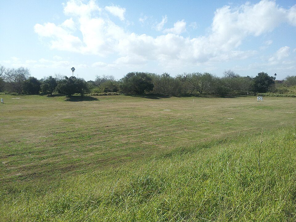 35 mi LandmarkFort Brown
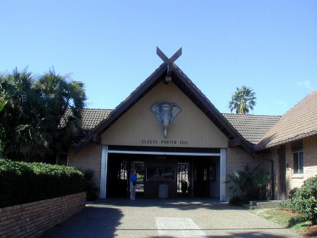 33 mi Zoo & aquariumGladys Porter Zoo
 21 mi Stadium & arenaPayne Arena
 30 mi National Historical ParkPalo Alto Battlefield National Historical Park169K visitors a year
Photo credits
Bert Ogden Arena: Wikidude10000, CC0 · Fort Brown: Pi3.124, CC BY-SA 3.0 · Gladys Porter Zoo: Jc161991, CC BY-SA 3.0 · Payne Arena: Larry D. Moore, CC BY 4.0 · Palo Alto Battlefield National Historical Park: Schmorleitz, CC BY-SA 3.0


Moving to Indian Hills: who provides what
Indian Hills is unincorporated, so Hidalgo County and regional agencies provide most services.
EPA SDWIS (Oct 9, 2026) · HIFLD + EIA-861 2025 · Census 2020 ZCTAs · NCES 2024–25 · registration: vote.gov, updated Nov 18, 2024.
Colleges nearby
None within 15 miles of Indian Hills; the nearest are
About 4 of every 100 Indian Hills residents are enrolled in college, against 6 across Texas.
Questions about Indian Hills
Short answers, built from the data on this page.
Is Indian Hills, TX a good place to live?
Indian Hills grades D overall, better than 8% of U.S. towns and #529 of 640 in Texas. It grades D− for health and C for schools. Health is its weak spot, with a D−.
Is Indian Hills, TX expensive?
Not for the area. Cost of living, which also weighs rents, property taxes and how many households pay 30% or more of their income for housing, grades A−.
Say something about Indian Hills.
Ask a question, answer one, post a photo or an event. Free, and the parts only a neighbor would know are the parts worth reading.