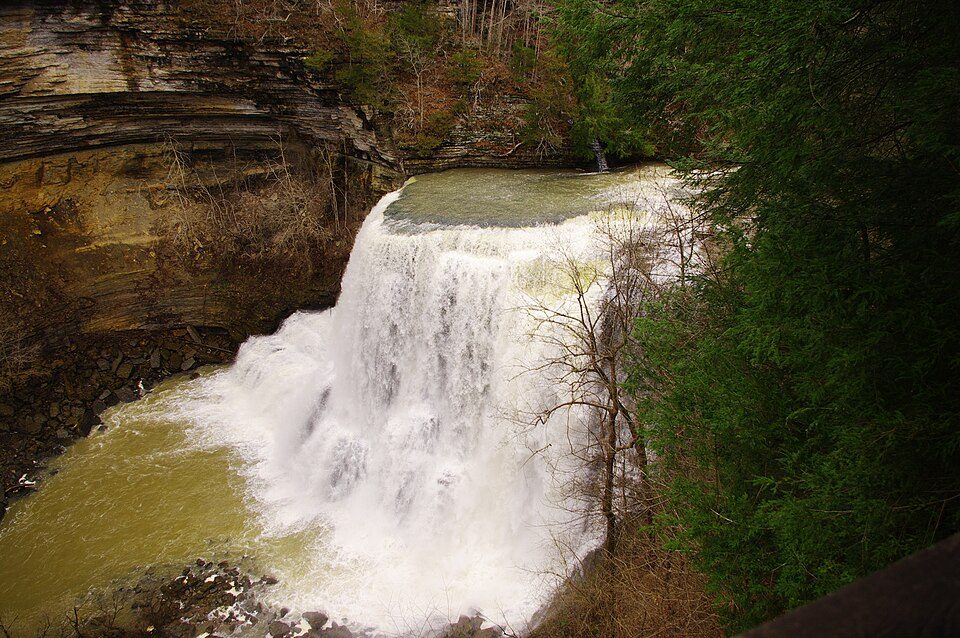
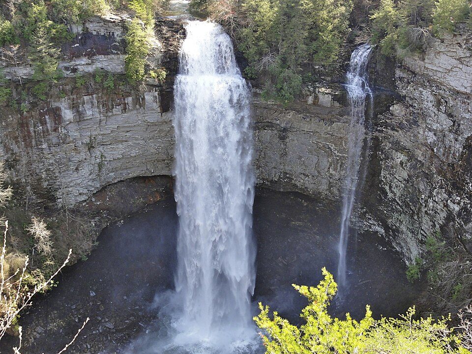
The nearest draw to Algood: Fall Creek Falls, 37 mi away
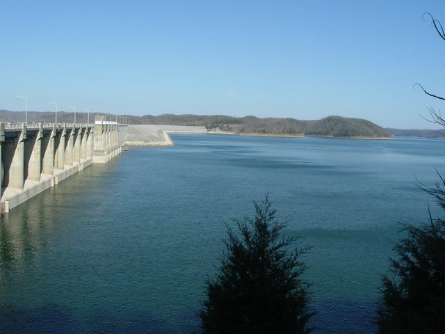
Algood has 8 notable places within 60 miles, among them 3 national park units. Some 774K visitors a year come to Big South Fork National River and Recreation Area. At 52 mi, Lake Cumberland is worth the journey.
Burgess Falls
Waterfall in Tennessee, United States.
The towns around it, and where to stay →
Mapped around Algood
The map puts most of the 4 to the east.
Orange: Algood. Numbers: the best-known places, matching the list below. © OpenStreetMap contributors
All of them, one by one
Everything here is within 60 miles, 8 places in all.
 1
 2
 3
 5
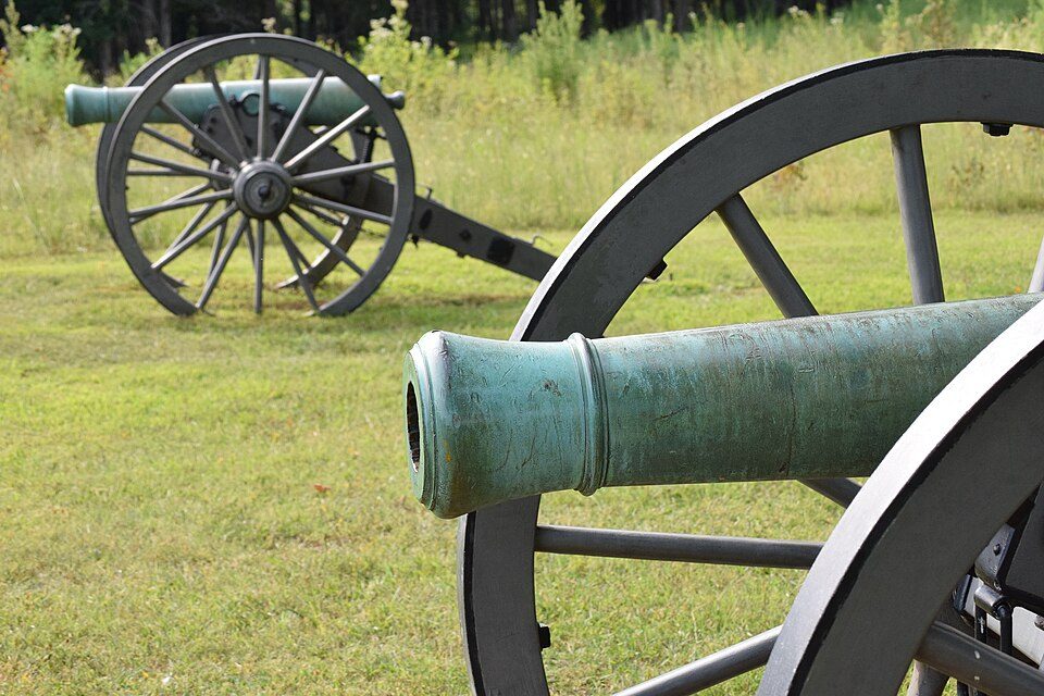
Stones River National Battlefield
National battlefield in Rutherford County, Tennessee; site of a Union victory in the Civil War (January 2, 1863).
 6
Big South Fork National River and Recreation Area
In northeastern Tennessee and southeastern Kentucky, USA.
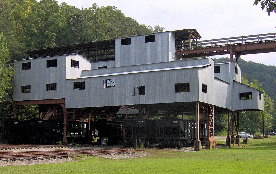 7
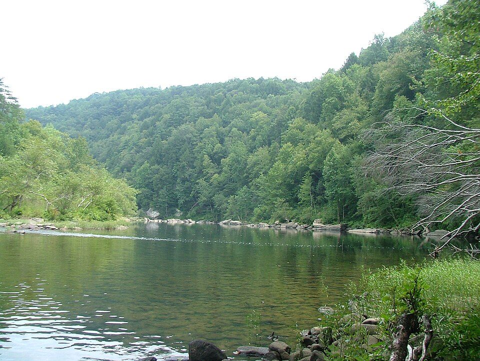 8
Obed Wild and Scenic River
River in the United States of America.
Ranked by how many people look them up, so the famous places lead and the local favorites follow.
Parks and trails in Algood → · Algood’s history →
Photo credits
Lake Cumberland: Censusdata at English Wikipedia, Public domain · Frozen Head State Park: Brian Stansberry (photographer), CC BY 3.0 · Fall Creek Falls: Jsfouche, CC BY-SA 3.0 · Burgess Falls: Brian Stansberry, CC BY 3.0 · Stones River National Battlefield: Kenneth Everett, CC BY-SA 3.0 · Big South Fork National River and Recreation Area: Brian Stansberry, CC BY 3.0 · Blue Heron: Brian Stansberry, CC BY 3.0 · Obed Wild and Scenic River: ChristopherM at English Wikipedia, CC BY 2.5


