Wikipedia doesn’t have a history of State Line yet. The photos, dates and memories neighbors add here are how it gets written.
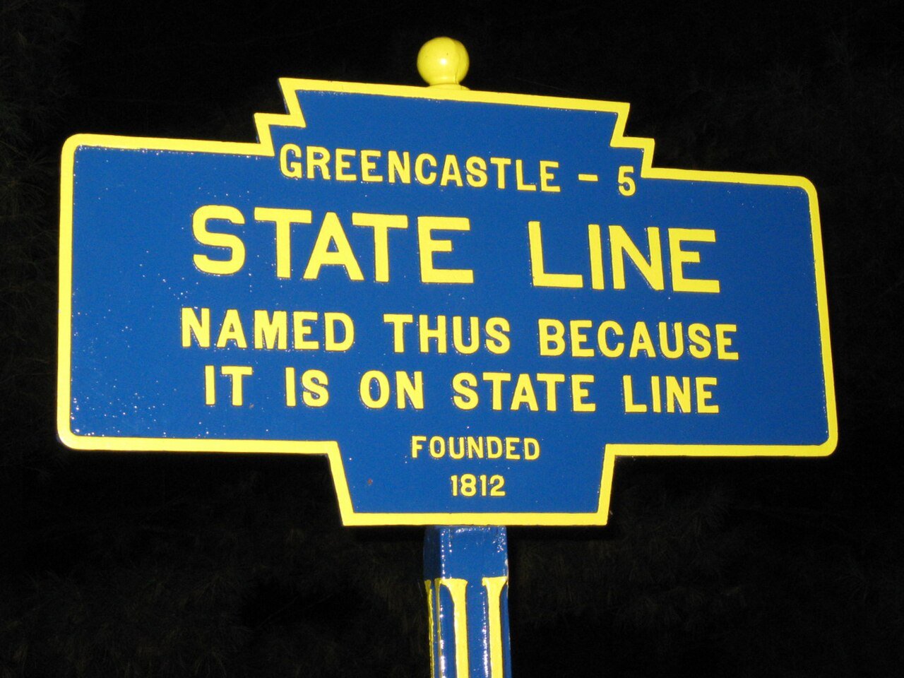
State Line is an unincorporated community and census-designated place (CDP) in Antrim Township, Pennsylvania, United States. It is next to the Maryland state line along Interstate 81 and U.S. Route 11 between Hagerstown, Maryland, and Greencastle. As of the 2020 census the population was 2,804. State Line was originally called Middleburg, and under the latter name laid out in 1812, and named for its location between Greencastle and Hagerstown, Maryland. The present name comes from the fact that the community is located on the Maryland-Pennsylvania state line. A post office called State Line was established in 1830.
Its first post office opened in 1830. Between the 2010 and 2020 censuses its population grew from 2,709 to 2,804 (+4%).
Intro from Wikipedia. Population: U.S. Census Bureau.
From the old history books
What they wrote about State Line in 1887
Passages that mention State Line, cut from the printed page as they were published.
History of Franklin county, Pennsylvania1887 · page 896Read the page →
Read the text
Franklin County, Penn. , and took charge of its active management. He improved and enlarged the works, increasing their output over fourfold, and still continues at their head. In 1872 he built the Mont Alto Railroad. In 1877 he added to his labors, by taking charge of the Rochester & State Line Railroad in New York. In 1879 he extended the Mont Alto Railroad to Waynesboro, and is still its engineer and superintendent. He originated the idea of having a large park at Mont Alto, and was the prime mover and main spirit in laying out the grounds of Mont Alto Park in 1875. He was the first president
Text read by machine from the scan; it may contain errors.
History of Franklin County, Pennsylvania1887 · page 896Read the page →
Read the text
Franklin County, Penn., and took charge of its active management. He improved and enlarged the works, increasing their output over fourfold, and still continues at their head. In 1872 he built the Mont Alto Railroad. In 1877 he added to his labors, by taking charge of the Rochester & State Line Railroad in New York. In 1879 he extended the Mont Alto Railroad to Waynesboro, and is still its engineer and superintendent. He originated the idea of having a large park at Mont Alto, and was ‘the prime mover and main spirit in laying out the grounds of Mont Alto Park in 1875. He was the first president
Text read by machine from the scan; it may contain errors.
Scans and text from the Internet Archive. Books published in 1930 or earlier, which are in the public domain.
Founding dates: Wikidata, Wikipedia, the U.S. post office records of Blevins & Helbock (CC0) and the Census. Homes by year built: Census ACS 2020–24. National Register of Historic Places: National Park Service (list of May 22, 2026). Old photos, postcards and papers: Wikimedia Commons, the Library of Congress and other public archives, credited on each item’s page. Maps: U.S. Geological Survey historical topographic maps (via Esri) and Sanborn fire-insurance maps (Library of Congress). History text and census tables: Wikipedia (CC BY-SA 4.0). Places that used to be: USGS Geographic Names Information System (2021). How TownRatings grades history →
From Wikimedia Commons (6) and old county and town histories (Internet Archive). Archive images are copied here with their credits and licenses, shown on each photo’s page. Refreshed monthly.


 2025
 2025
 2016
 2009
 2009
 2009


