
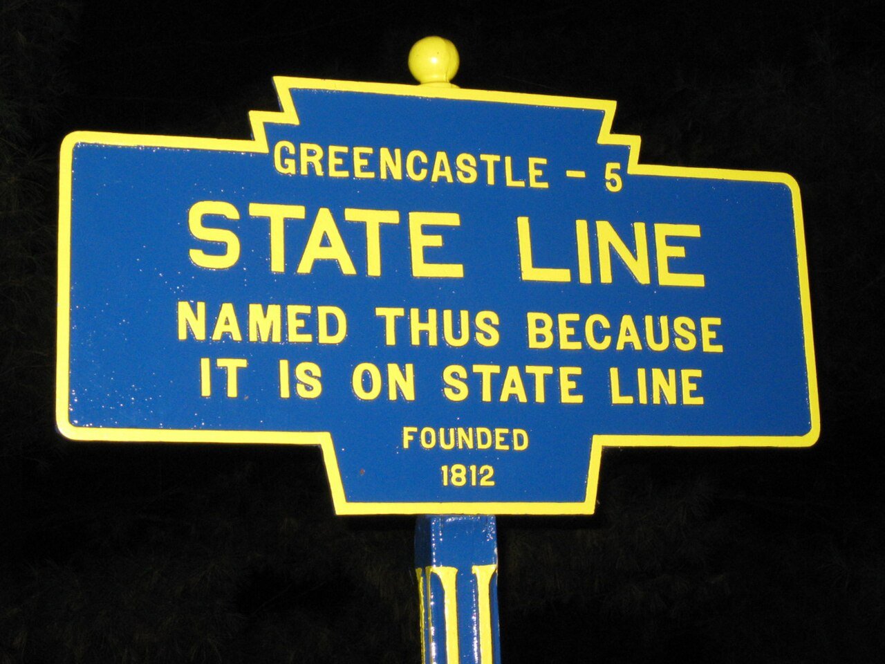
State Line, PA Keystone Marker 1, 2009
State Line’s story
196 years in pictures
The archive holds 6 old photos and papers going back to 2009.
- 1830State Line is settled
Each edition grades its towns against each other only.
We don’t grade State Line yet; the figures below are still real.
Where State Line beats most towns.
Where State Line’s working residents go each day. Line width shows the share.
Census LEHD 2023
The archive holds 6 old photos and papers going back to 2009.
Museums, parks, gardens and other places to visit around State Line. Close and well known come first.
 Big draw16 mi LandmarkRaven Rock Mountain Complex
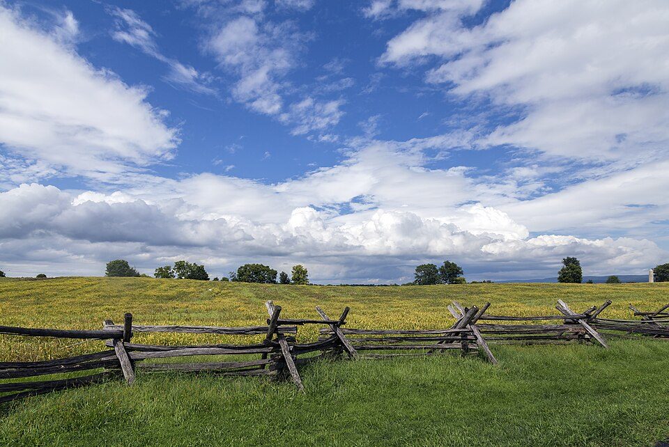 16 mi National BattlefieldAntietam National Battlefield161K visitors a year
 27 mi Ancient siteGettysburg Battlefield
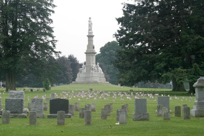 27 mi LandmarkGettysburg National Cemetery
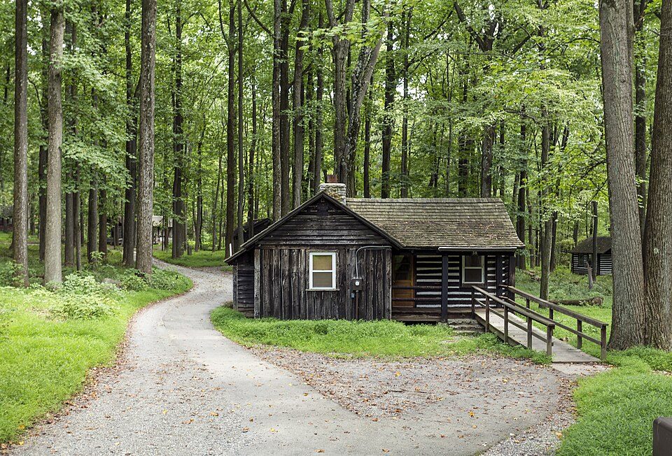 13 mi National park siteCatoctin Mountain Park461K visitors a year
 24 mi National Military ParkGettysburg National Military Park730K visitors a year
Raven Rock Mountain Complex: US Government, Public domain · Antietam National Battlefield: Acroterion, CC BY-SA 4.0 · Gettysburg Battlefield: Veggies, Public domain · Gettysburg National Cemetery: Photo: Henryhartley at en.wikipedia Statue: Randolph Rogers (1825-1892), Public domain · Catoctin Mountain Park: Acroterion, CC BY-SA 4.0 · Gettysburg National Military Park: David Dugan, CC BY-SA 3.0
State Line is unincorporated, so Franklin County and regional agencies provide most services.
EPA SDWIS (Oct 9, 2026) · HIFLD + EIA-861 2025 · Census 2020 ZCTAs · NCES 2024–25 · registration: vote.gov, updated Nov 18, 2024.
Ordered by what stands out in State Line.
State Line’s FEMA risk score comes in at 16 of 100. Of the losses FEMA expects here, 57% come from inland flooding and 14% from hurricanes. Expected storm and flood damage is lower than in 84% of U.S. communities.
FEMA National Risk Index · OpenFEMA
Of the 1,036 Pennsylvania towns we compare, none has a lower share of working residents who work in town than State Line. Between 2013 and 2023, jobs here rose by 31, to 476. The top destinations are Antrim Township (11%), Chambersburg (9%) and Greencastle (8%). For half of commuters, work is under 13 miles away.
| State Line | Pennsylvania towns | U.S. towns | |
|---|---|---|---|
| Working residents who work in town | 0.4% | 6.3% | 8% |
| Median household income | $86,000 | $81,000 | $80,000 |
Census LEHD 2023 · ACS
NOAA U.S. Climate Normals, 1991–2020
78% of State Line adults had a checkup this year, below both the Pennsylvania town median (79%) and the median of U.S. towns (79%). In State Line, just over one in ten adults report frequent physical distress, and 21% get no exercise outside work. For adults here, the share who have diabetes is 9.9%.
| State Line | Pennsylvania towns | U.S. towns | |
|---|---|---|---|
| Binge drink (CDC PLACES) | 21% | 18% | 16% |
| Frequent physical distress (CDC PLACES) | 12% | 14% | 14% |
| Get no exercise (CDC PLACES) | 21% | 24% | 25% |
| Diabetes (CDC PLACES) | 9.9% | 11% | 12% |
| What stands out | State Line | PA |
|---|---|---|
| Fewer adults with diabetes | 9.9% | 11.6% |
| Fewer adults in fair or poor health | 16.3% | 18.7% |
CDC PLACES 2025 · modeled estimates for adults · CMS · HRSA
On the market in State Line: a median 27 days to sell. 79% of State Line households own their home, against 78% in Pennsylvania’s towns and 73% across U.S. towns. Also worth knowing: in State Line, the typical sale closed at 98.2% of the list price.
| State Line | Pennsylvania towns | U.S. towns | |
|---|---|---|---|
| Households that own their home | 79% | 78% | 73% |
| Median rent | $1,216 a month | $1,115 a month | $1,185 a month |
Census ACS, 2020–24 · Zillow Home Value Index · Redfin Data Center
2 within 15 miles of the center of State Line
About 3 of every 100 State Line residents are enrolled in college, against 6 across Pennsylvania.
Unincorporated community in Pennsylvania, US
State Line is an unincorporated community and census-designated place (CDP) in Antrim Township, Pennsylvania, United States. It is next to the Maryland state line along Interstate 81 and U.S. Route 11 between Hagerstown, Maryland, and Greencastle. As of the 2020 census the population was 2,804. State Line was originally called Middleburg, and under the latter name laid out in 1812, and named for its location between Greencastle and Hagerstown, Maryland. The present name comes from the fact that the community is located on the Maryland-Pennsylvania state line. A post office called State Line was established in 1830.
From Wikipedia, licensed CC BY-SA 4.0 · facts via Wikidata (CC0)
One town shares a border with State Line.
| Town | PA rank | Overall | Cost | Safety | Schools | Health |
|---|---|---|---|---|---|---|
| State Line | — | — | — | — | — | — |
| Antrim Township | #410 | B+ | B− | — | A− | B |
Antrim Township reports no FBI crime data of its own. State Line isn’t graded (fewer than 1,000 residents, or not enough data). Compare State Line with a neighbor →
Short answers, built from the data on this page.
We don’t grade State Line yet; the figures below are still real.


