The town was named after Eberhard Ream (Johann Eberhardt Riehm 1687–1779), whose son, Tobias Ream, founded it in the 1740s. It was originally known as "Zohar."
During the American Revolution, Reamstown served as one of a number of field hospitals for the wounded following the Battle of Brandywine on September 11, 1777. A dozen or more of these troops died here and are buried in unmarked graves in the Salem Evangelical Cemetery. The cemetery is also home to a large boulder that once served as a mortar and pestle by the native people who lived on nearby Ephrata Mountain to the south. It was transported to Reamstown by Pierce Lesher, and today a plaque on the stone details both the Native American and military history.
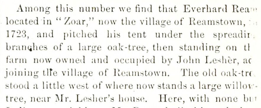
Passages that mention Reamstown, cut from the printed page as they were published.
History of Lancaster County, Pennsylvania1883Read the page →
Read the text
Among this number we find that Everhard Rea ■• located in " Zoar," now the village of Reamstown, 1723, and pitched his tent under the spreadii branches of a large oak-tree, then standing on tl farm now owned and occufiied by John Lesher, ac joining lire village of Reamstown. The old oak-tn stood a little west of where now stands a large willo\ tree, near Mr. Lesher's house. Here, with none hi '
Text read by machine from the scan; it may contain errors.
History of Lancaster County, Pennsylvania1883Read the page →
Read the text
Route No. 22S3, from Reamstown, by Schoeneck, i Reinholdsville, and Co.'alico, to Shaetferstown, 17 I miles and return, once a week. Contract with Rudy I W. Halm, of Reamstown, Pa., from July 1, 18G0, to June 30, 1804, but was discontinued, and last trip I made JIarch 10, 1801, and Cocalico made a special ■ office. Reamstown was supplied on route No. 2234.
Text read by machine from the scan; it may contain errors.
Scans and text from the Internet Archive. Books published in 1930 or earlier, which are in the public domain.
Founding dates: Wikidata, Wikipedia, the U.S. post office records of Blevins & Helbock (CC0) and the Census. Homes by year built: Census ACS 2020–24. National Register of Historic Places: National Park Service (list of May 22, 2026). Old photos, postcards and papers: Wikimedia Commons, the Library of Congress and other public archives, credited on each item’s page. Maps: U.S. Geological Survey historical topographic maps (via Esri) and Sanborn fire-insurance maps (Library of Congress). History text and census tables: Wikipedia (CC BY-SA 4.0). Places that used to be: USGS Geographic Names Information System (2021). How TownRatings grades history →
From Wikimedia Commons (3), Wikipedia, Wikidata and Wikipedia for famous people and old county and town histories (Internet Archive). Archive images are copied here with their credits and licenses, shown on each photo’s page. Refreshed monthly.



 2016
 2007
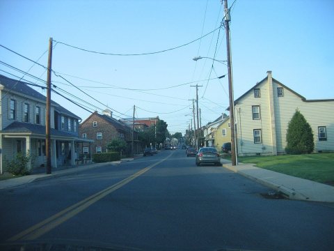 2007
