Most of Messiah College was built recently: 0.0% of its homes predate 1940 and the median home dates from 1980. Below: 1 old photo or paper and maps from 1906 on.
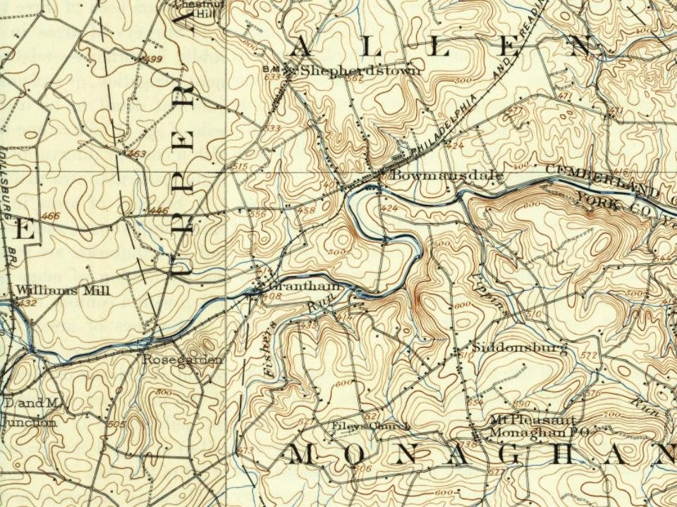
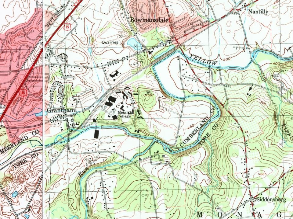
Every edition of the U.S. Geological Survey’s map of Messiah College. Tap a year, or press play to watch the town change.
1906New Cumberland sheet · 1:62,500
U.S. Geological Survey historical topographic maps (public domain), via Esri’s collection of the scans. The red ring marks the center of Messiah College.
The school was founded as "Messiah Bible School and Missionary Training Home" in 1909 by the Brethren in Christ Church. Originally located in Harrisburg, Pennsylvania, in the home of Messiah's first president, Samuel Rogers (S.R.) Smith, a local businessman and leader in the Brethren in Christ Church, the school was moved to Grantham in 1911, following the construction of the campus' first building, Old Main. (The university now uses a Mechanicsburg mailing address, but its main campus is still located in Grantham.) The building was constructed on land donated by S.R. Smith, who had moved his home and various business interests outside of the city to allow for growth in the farmlands surrounding Grantham. In the early years, the school offered a high school curriculum and several Bible programs. By 1921, it had also become a junior college, making it the second junior college in Pennsyl…
Founding dates: Wikidata, Wikipedia, the U.S. post office records of Blevins & Helbock (CC0) and the Census. Homes by year built: Census ACS 2020–24. National Register of Historic Places: National Park Service (list of May 22, 2026). Old photos, postcards and papers: Wikimedia Commons, the Library of Congress and other public archives, credited on each item’s page. Maps: U.S. Geological Survey historical topographic maps (via Esri) and Sanborn fire-insurance maps (Library of Congress). History text and census tables: Wikipedia (CC BY-SA 4.0). Places that used to be: USGS Geographic Names Information System (2021). How TownRatings grades history →
From Wikimedia Commons (5), Wikipedia and U.S. Geological Survey historical maps. Archive images are copied here with their credits and licenses, shown on each photo’s page. Refreshed monthly.




 2017
 2017
 2017
 2016