East Wheatfield Township in pictures
Census counts: 1,420 in 1860, a low of 786 in 1890, 2,161 in 2020. The archive holds 6 old photos and papers going back to 2008 and 4 maps from 1964 on.
Explore the history →Each edition grades its towns against each other only.
A town of 2,113.
East Wheatfield Township’s best subject grades are an A for schools and an A− for cost of living; its weakest is a D for walkability. 15% of the land in East Wheatfield Township is conserved, where Pennsylvania’s towns sit at 8.2% and U.S. towns at 4.3%. Rager Mountain Division, at 1,262 acres with 1.9 miles of trail, is the biggest park or preserve. East Wheatfield Township has fewer than 2,500 residents, so it gets subject grades but no overall grade.
Where East Wheatfield Township beats most towns.
Where East Wheatfield Township’s working residents go each day. Line width shows the share.
Census LEHD 2023
Each subject compared with towns across the country (schools within Pennsylvania), ordered by how far East Wheatfield Township is from typical.
How TownRatings grades towns →
Census counts: 1,420 in 1860, a low of 786 in 1890, 2,161 in 2020. The archive holds 6 old photos and papers going back to 2008 and 4 maps from 1964 on.
Explore the history →Who provides power, water and the rest in East Wheatfield Township, and how to reach them.
EPA SDWIS (Oct 9, 2026) · HIFLD + EIA-861 2025 · Census 2020 ZCTAs · NCES 2024–25 · registration: vote.gov, updated Nov 18, 2024.
Ordered by what stands out in East Wheatfield Township.
Its two schools are below. The public schools here belong to United SD. The largest public high school is United JSHS, with 401 students.
| School | Level | Students | Letter |
|---|---|---|---|
| United El SchLargest public elementary schoolGrades PK–6 | Grades PK–6 | 455 | B |
| United JSHSLargest public high schoolGrades 7–12 | Grades 7–12 | 401 | B |
NCES · EDFacts · graded within PA on state tests and graduation
Expected damage from storms and floods is lower here than in 83% of U.S. communities. Paid flood insurance claims in East Wheatfield Township since 1996: 5.
FEMA flood insurance claims · FEMA National Risk Index · OpenFEMA
The top destinations are Johnstown (7%), White Township (6%) and Richland Township (5%). In East Wheatfield Township, the mean commuting time is 32 minutes. Among residents in the town, 17% live below the poverty line, against 7.6% in Pennsylvania’s towns and 9.6% across U.S. towns.
| East Wheatfield Township | Pennsylvania towns | U.S. towns | |
|---|---|---|---|
| Average trip to work | 32 minutes | 26 minutes | 25 minutes |
| Below the poverty line | 17% | 7.6% | 9.6% |
| Median household income | $51,000 | $81,000 | $80,000 |
| Work from home | 9.5% | 12% | 11% |
Census LEHD 2023 · ACS
For adults in East Wheatfield Township, the share who have high blood pressure is 38%. CDC measures, 26 in all: East Wheatfield Township beats Pennsylvania on 1 and trails on 11.
| East Wheatfield Township | Pennsylvania towns | U.S. towns | |
|---|---|---|---|
| Smoke cigarettes (CDC PLACES) | 19% | 17% | 14% |
| High blood pressure (CDC PLACES) | 38% | 34% | 35% |
| Diabetes (CDC PLACES) | 13% | 11% | 12% |
| Obesity (CDC PLACES) | 38% | 35% | 35% |
| What stands out | East Wheatfield Township | PA |
|---|---|---|
| More adults treating high blood pressure | 82.2% | 79.2% |
| More adults with COPD | 10.4% | 7.7% |
CDC PLACES 2025 · modeled estimates for adults · CMS · HRSA
The midsummer high for East Wheatfield Township comes to 83°F.
NOAA U.S. Climate Normals, 1991–2020
In 4 parks and preserves, walkers have 6.8 miles of trail. East Wheatfield Township’s concentration of trails is 0.3 miles per square mile.
| Biggest places to walk | Trails | Acres |
|---|---|---|
| 1. Charles F. Lewis Natural Area | 4.4 mi | 370 |
| 2. Rager Mountain Division | 1.9 mi | 1,262 |
| 3. Gallitzin State Forest | — | 1,262 |
Trails & parks © OpenStreetMap contributors · Conserved land: USGS PAD-US
Museums, parks, gardens and other places to visit around East Wheatfield Township. Close and well known come first.
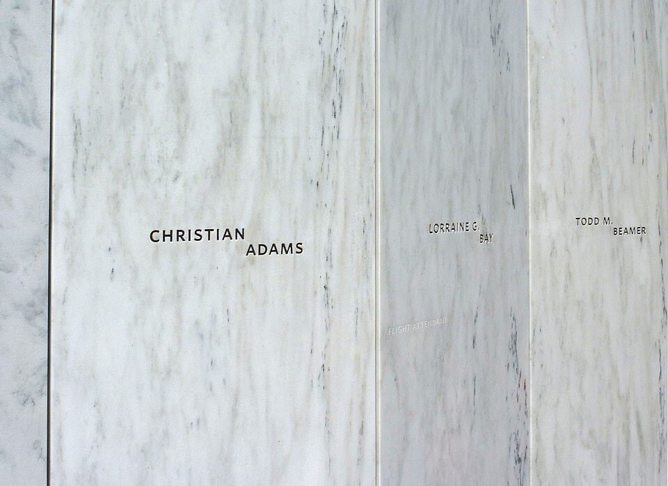
Big draw26 mi National MemorialFlight 93 National Memorial286K visitors a year
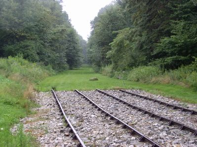
14 mi DamSouth Fork Dam
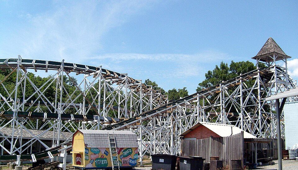
10 mi National Historic SiteAllegheny Portage Railroad National Historic Site163K visitors a year19 mi Theme parkIdlewild and Soak Zone
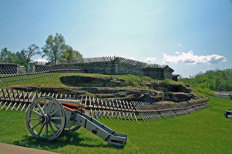
19 mi MuseumFort Ligonier
32 mi Theme parkLakemont ParkFlight 93 National Memorial: James Steakley, CC BY-SA 3.0 · South Fork Dam: Ernest Walter Histed, Public domain · Allegheny Portage Railroad National Historic Site: Matthew A. Lynn; Original uploader was Mosamiazaz at en.wikipedia, Public domain · Fort Ligonier: The original uploader was Mind meal at English Wikipedia., CC BY-SA 2.0 · Lakemont Park: Bhakta Dano. Original uploader was Oldano at en.wikipedia, Public domain
2 within 15 miles of the center of East Wheatfield Township
About 5 of every 100 East Wheatfield Township residents are enrolled in college, about the same as Pennsylvania.
Township in Pennsylvania, US
East Wheatfield Township is a township in Indiana County, Pennsylvania, United States. East Wheatfield Township was created when the original Wheatfield Township (formed in 1779) was divided in 1859 into East and West Wheatfield. It was named for the large unforested areas naturally occurring there which were ideal for growing wheat. The population was 2,161 at the 2020 census, a decline from the figure of 2,366 tabulated in 2010. It includes the communities of Boltz, Cramer, Gas Center, Ninevah, Robindale, Shoupstown, Virginia, and Wheatfield. It surrounds, but does not include, the borough of Armagh.
From Wikipedia, licensed CC BY-SA 4.0 · facts via Wikidata (CC0)
5 towns share a border with East Wheatfield Township.
| Town | PA rank | Overall | Cost | Safety | Schools | Health |
|---|---|---|---|---|---|---|
| East Wheatfield Township | — | — | A− | — | A | C |
| Buffington Township | — | — | B | — | A | C+ |
| Brush Valley Township | — | — | A− | — | A | C+ |
| St. Clair Township | — | — | A+ | — | B | C+ |
| West Wheatfield Township | — | — | B+ | — | A | C+ |
| Jackson Township | #74 | A+ | A | A+ | A− | C− |
East Wheatfield Township, Buffington Township, Brush Valley Township, St. Clair Township and West Wheatfield Township have fewer than 2,500 residents, so they get subject grades but no overall grade. East Wheatfield Township, Buffington Township, Brush Valley Township, St. Clair Township and West Wheatfield Township report no FBI crime data of their own. Compare East Wheatfield Township with a neighbor →
Short answers, built from the data on this page.
Not for the area. Cost of living, which also weighs rents, property taxes and how many households pay 30% or more of their income for housing, grades A−.