
South Fork Dam
The South Fork Dam was an earthenwork dam forming Lake Conemaugh (formerly Western Reservoir, also known as the Old Reservoir and Three Mile Dam, a misnomer), an artificial body of water near South Fork, Pennsylvania, United States. It is in Adams Township. Its story as a place to visit starts in 1964.
A dam inside Adams Township
Winters are cold
January nights drop to 16°, with about 80" of snow a year. When to go ↓
Richland Township is the nearest base
Richland Township is 6 miles southwest, with 13 places to stay. Where to stay ↓
Best months: May, Jun, Jul, Aug and Sep
May, June, July, August and September are the mild months, with highs of 66–77°. When to go ↓
An airport 4 miles away
John Murtha Johnstown Cambria County (JST) has airline service, about 4 miles from South Fork Dam.
Established in 1964
South Fork Dam dates from 1964. About ↓
Written from NOAA 1991–2020 normals, Overture places to stay, Census town figures, Wikidata and Wikipedia.
Month by month
The weather near South Fork Dam shifts through the year, as below.
South Fork Dam
The South Fork Dam was an earthenwork dam forming Lake Conemaugh (formerly Western Reservoir, also known as the Old Reservoir and Three Mile Dam, a misnomer), an artificial body of water near South Fork, Pennsylvania, United States. On May 31, 1889, the South Fork Dam failed catastrophically and 20 million tons of water from Lake Conemaugh burst through and raced 14 miles (23 km) downstream, causing the Johnstown Flood.
- Type
- Dam
- Established
- 1964
- Wikipedia readers
- 21K a year
Nights near South Fork Dam
The closest lodging is in Richland Township (13) and Johnstown (6).
Compare 8 towns
| Town | From South Fork Dam | Drive | Places to stay | People | Typical home | Safety |
|---|---|---|---|---|---|---|
| Adams Township | in town | — | 1 1 lodge or cabins | 5,558 | $173K | A+ |
| Richland Township | 6 mi southwest | 10 min | 13 12 hotels · 1 motel | 11,936 | $190K | C− |
| Johnstown | 8 mi west | 10 min | 6 4 hotels · 1 inn or B&B · 1 lodge or cabins | 17,654 | $45K | D |
| Cambria Township | 10 mi north | 15 min | 5 3 hotels · 1 inn or B&B · 1 campground | 5,672 | $183K | B+ |
| Pavia Township 28% vacation homes | 11 mi southeast | 15 min | 5 2 hotels · 1 inn or B&B · 2 lodges & cabins | 282 | $124K | — |
| Windber | 8 mi south | 10 min | 3 2 hotels · 1 lodge or cabins | 3,780 | $99K | C |
| Napier Township | 20 mi south | 30 min | 12 4 hotels · 2 motels · 2 inns & B&Bs · 3 campgrounds · 1 RV park | 2,042 | $216K | — |
| Allegheny Township | 17 mi northeast | 25 min | 7 6 hotels · 1 campground | 6,561 | $169K | C− |
Getting there
Nearest airports with airline service
Worth adding to a visit
More places people know lie within 66 miles.
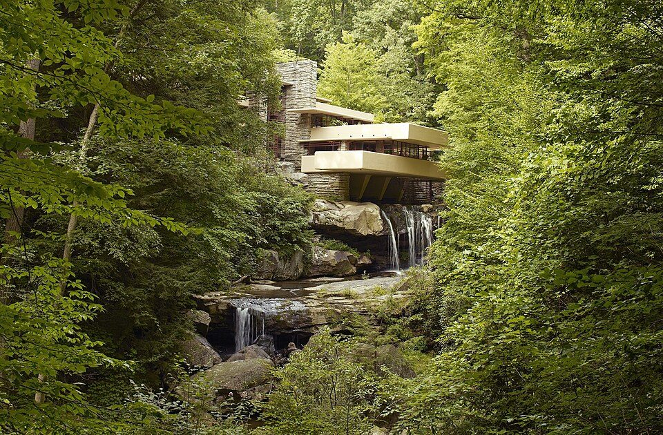 Big draw48 mi MuseumFallingwater
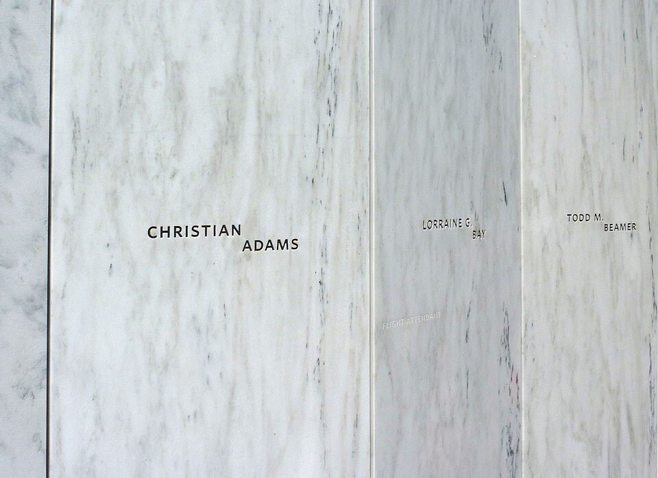 Big draw121 mi National MemorialFlight 93 National Memorial286K visitors a year
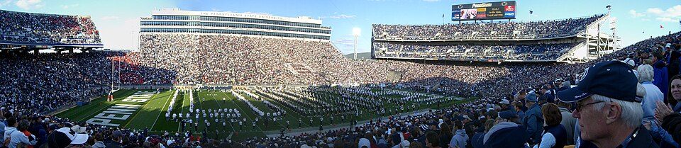 Big draw58 mi Stadium & arenaBeaver Stadium
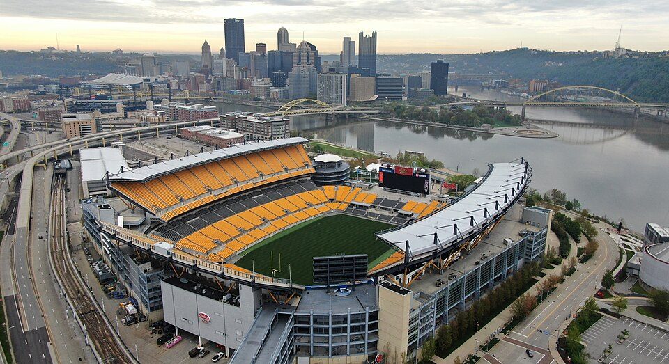 Big draw66 mi Stadium & arenaAcrisure Stadium
 57 mi Theme parkKennywood
 65 mi LandmarkFort Duquesne
 65 mi Stadium & arenaPNC Park
 64 mi Stadium & arenaPPG Paints Arena
Photo credits
Fallingwater: Carol M. Highsmith, Public domain · Flight 93 National Memorial: James Steakley, CC BY-SA 3.0 · Beaver Stadium: Sbvr6 (talk), CC BY-SA 3.0 · Acrisure Stadium: Fo2grfr, CC BY-SA 4.0 · Kennywood: Ski2007 of English Wikipedia, Public domain · Fort Duquesne: Sébastien Paquin, CC BY-SA 3.0 · PNC Park: alpineinc, CC BY 2.0 · PPG Paints Arena: Jleedev, CC BY-SA 4.0


A visit to South Fork Dam: questions
Is South Fork Dam in Adams Township?
Yes. It’s inside Adams Township, PA.
When is the best time to visit South Fork Dam?
May, June, July, August and September, with highs of 66–77°.
How far is South Fork Dam from Pittsburgh?
About 63 miles west of Pittsburgh, as the crow flies.
What is the closest airport to South Fork Dam?
John Murtha Johnstown Cambria County (JST), about 4 miles away. The nearest big hub is Pittsburgh (PIT), about 77 miles.
Where should I stay near South Fork Dam?
Richland Township (6 mi, 13 places to stay), Johnstown (8 mi, 6 places to stay) and Cambria Township (10 mi, 5 places to stay).
Tips from people in Adams Township
Tips will appear here once someone posts in Adams Township’s Town Square.
Sources: National Park Service · ski areas © OpenSkiMap / OpenStreetMap contributors · Wikidata · Wikipedia readership · NOAA climate normals · U.S. Census.