Every edition of the U.S. Geological Survey’s map of Catawissa Township. Tap a year, or press play to watch the town change.
1889Catawissa sheet · 1:62,500
U.S. Geological Survey historical topographic maps (public domain), via Esri’s collection of the scans. The red ring marks the center of Catawissa Township.
People over time
Catawissa Township, census by census
Peaked at 2,053 in 1940; 1,536 people lived here in 2020.
15 censuses, 1880–2020.
U.S. Census Bureau decennial counts, from the census table on Catawissa Township’s Wikipedia page.
The area where Catawissa now is was originally owned by William Henry in 1769. Catawissa was laid out in 1787. At this time it was referred to as "Hughesburg" or "Catawissey". The town's lots were distributed by lottery. When boats began to commonly travel along the Susquehanna River, Catawissa became locally important. Talk of a school in Catawissa began in 1796, and one was built there in 1800. The Catawissa Fire Company was founded in 1827. The Catawissa Deposit Bank was incorporated in 1871. The Catawissa Water Company was formed in 1882. A number of Masonic establishments were built in Catawissa in the mid to late 1800s.
The Catawissa Friends Meetinghouse was listed on the National Register of Historic Places in 1978.
Founding dates: Wikidata, Wikipedia, the U.S. post office records of Blevins & Helbock (CC0) and the Census. Homes by year built: Census ACS 2020–24. National Register of Historic Places: National Park Service (list of May 22, 2026). Old photos, postcards and papers: Wikimedia Commons, the Library of Congress and other public archives, credited on each item’s page. Maps: U.S. Geological Survey historical topographic maps (via Esri) and Sanborn fire-insurance maps (Library of Congress). History text and census tables: Wikipedia (CC BY-SA 4.0). Places that used to be: USGS Geographic Names Information System (2021). How TownRatings grades history →
From Wikimedia Commons (6), the National Register of Historic Places (1), Wikipedia, U.S. Geological Survey historical maps, U.S. Census counts (via Wikipedia) and the USGS Geographic Names Information System. Archive images are copied here with their credits and licenses, shown on each photo’s page. Refreshed monthly.
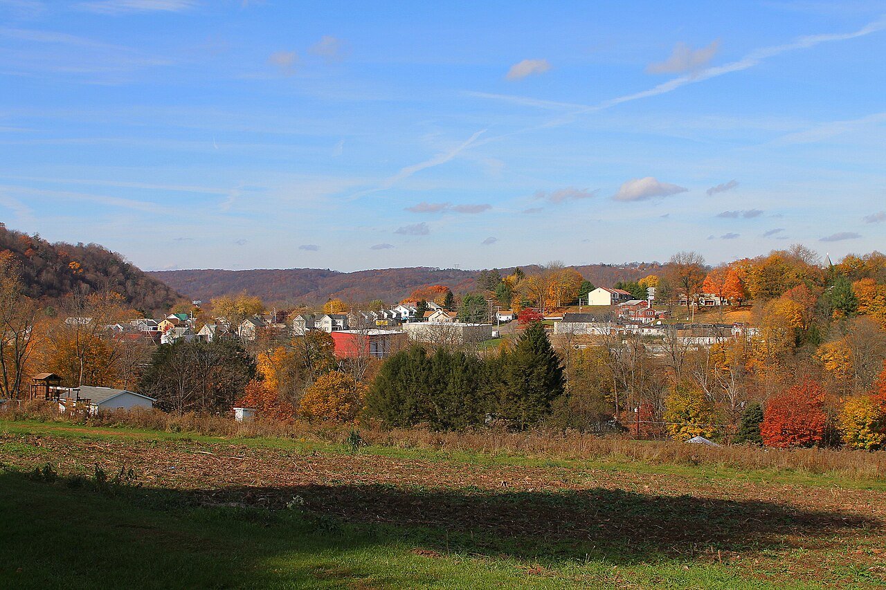


 2009
 2009
 2009
 2009
 2009
 2009
