Birmingham is the site of the Birmingham Window, a geologic structure created by a Paleozoic thrust fault.
Birmingham's early settler, John Cadwallader, settled on a hill above the Little Juniata River and made plans to establish a large city. In the first several decades of the 19th century, the village grew quickly as a hub for commerce being carried on the Little Juniata River and on the nearby Pennsylvania Canal. By 1850, the Pennsylvania Railroad had passed through the valley. The development of the railroad diminished the importance of Birmingham as a trading hub since the railroad's nearby hubs in Tyrone and Altoona grew quickly on land that was better suited for development.
Founding dates: Wikidata, Wikipedia, the U.S. post office records of Blevins & Helbock (CC0) and the Census. Homes by year built: Census ACS 2020–24. National Register of Historic Places: National Park Service (list of May 22, 2026). Old photos, postcards and papers: Wikimedia Commons, the Library of Congress and other public archives, credited on each item’s page. Maps: U.S. Geological Survey historical topographic maps (via Esri) and Sanborn fire-insurance maps (Library of Congress). History text and census tables: Wikipedia (CC BY-SA 4.0). Places that used to be: USGS Geographic Names Information System (2021). How TownRatings grades history →
From Wikimedia Commons (6), the Library of Congress (5), Wikipedia, U.S. Geological Survey historical maps, U.S. Census counts (via Wikipedia), the US Post Offices dataset (Blevins & Helbock) and the USGS Geographic Names Information System. Archive images are copied here with their credits and licenses, shown on each photo’s page. Refreshed monthly.


 c. 1870
 Date?
 Date?
 Date?
 Date?
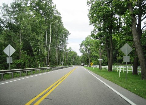 2024
 2016
 2016
 2006


