
EolaOR
A town in Oregon.
Is Eola a good place to live?
We don’t grade Eola yet; the figures below are still real.
The data
Ordered by what stands out in Eola.
Low risk in Eola, with earthquakes at the top
Storm and flood damage is expected to run lower than in just over two thirds of U.S. communities. Expected losses in Eola break down as 44% from earthquakes and 41% from inland flooding.
FEMA National Risk Index · OpenFEMA
Expect mild winters and pleasant summers in Eola
The July high in Eola is 82°F.
Typical low → high °F
NOAA U.S. Climate Normals, 1991–2020
How healthy Eola is
Eola: 31% of adults have high blood pressure. The share of adults in Eola who report frequent physical distress is 13%, against 15% in Oregon’s towns and 14% across U.S. towns. Two figures for adults locally: 18% get no exercise outside work, 11% smoke cigarettes.
| Eola | Oregon towns | U.S. towns | |
|---|---|---|---|
| Yearly checkup (CDC PLACES) | 72% | 72% | 79% |
| Get no exercise (CDC PLACES) | 18% | 21% | 25% |
| Smoke cigarettes (CDC PLACES) | 11% | 13% | 14% |
| Obesity (CDC PLACES) | 32% | 35% | 35% |
CDC PLACES 2025 · modeled estimates for adults · CMS · HRSA
Everything we know about Eola
Evergreen Aviation & Space Museum and 25 more within 40 miles
Museums, parks, gardens and other places to visit around Eola. Close and well known come first.
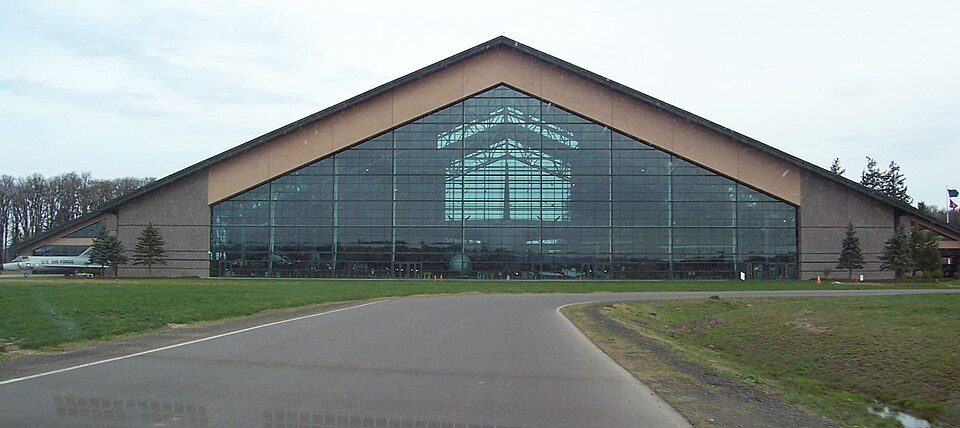 19 mi MuseumEvergreen Aviation & Space Museum
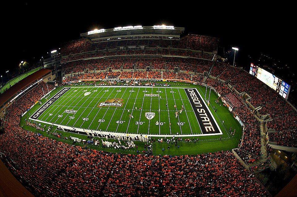 27 mi Stadium & arenaReser Stadium
 9 mi Theme parkEnchanted Forest
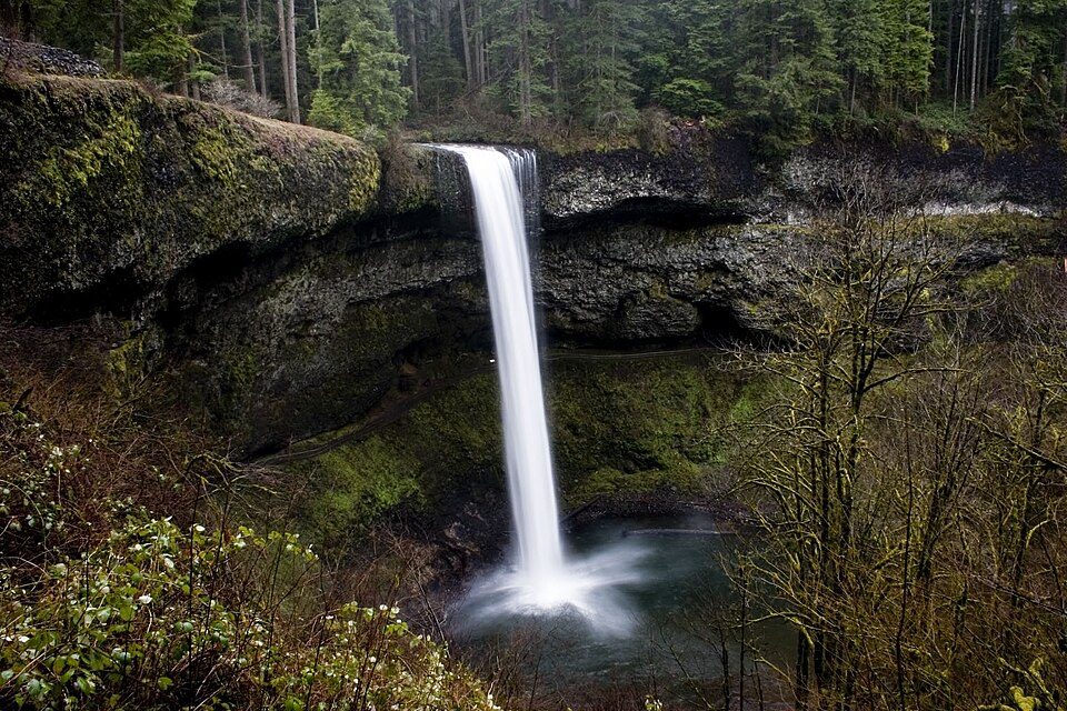 26 mi State parkSilver Falls State Park
 38 mi WaterfallWillamette Falls
 11 mi MuseumOregon Electric Railway Museum
Photo credits
Evergreen Aviation & Space Museum: Notkeel at English Wikipedia, Public domain · Reser Stadium: Zapper258, CC BY-SA 3.0 · Enchanted Forest: Trashbag (talk), CC BY-SA 3.0 · Silver Falls State Park: Kelvin Kay -- Kkmd at English Wikipedia, CC BY-SA 3.0 · Willamette Falls: The original uploader was Cacophony at English Wikipedia., CC BY-SA 3.0 · Oregon Electric Railway Museum: Steve Morgan, CC BY-SA 3.0


Moving to Eola: who provides what
Eola is unincorporated, so Polk County and regional agencies provide most services.
EPA SDWIS (Oct 9, 2026) · HIFLD + EIA-861 2025 · Census 2020 ZCTAs · NCES 2024–25 · registration: vote.gov, updated Oct 2, 2026.
Colleges nearby
4 within 15 miles of the center of Eola
About Eola
Unincorporated community in the state of Oregon, United States
Eola is an unincorporated community in Polk County, Oregon, United States. It lies four miles west of Salem on Oregon Route 22 at the confluence of Rickreall Creek and the Willamette River. For statistical purposes, the United States Census Bureau has defined Eola as a census-designated place (CDP). The census definition of the area may not precisely correspond to local understanding of the area with the same name. The population of the CDP was 60 at the 2020 census. It is part of the Salem Metropolitan Statistical Area. The Eola Hills rise north of the community and were named after it.
From Wikipedia, licensed CC BY-SA 4.0 · facts via Wikidata (CC0)
- Area
- 0.1 sq mi
- Elevation
- 230 ft
Questions about Eola
Short answers, built from the data on this page.
Is Eola, OR a good place to live?
We don’t grade Eola yet; the figures below are still real. A town in Oregon.
Say something about Eola.
Ask a question, answer one, post a photo or an event. Free, and the parts only a neighbor would know are the parts worth reading.