
Church, 2009
Cherry Grove’s story
115 years in pictures
The archive holds 1 old photo or paper going back to 2009 and 3 maps from 1941 on.
- 1911Cherry Grove is founded
Each edition grades its towns against each other only.

Population 335: a town founded in 1911.
Cherry Grove’s mean commuting time is 42 minutes, against 23 minutes in Oregon’s towns and 25 minutes across U.S. towns. No town among the 143 in Oregon we compare has a higher share of households owning their home than Cherry Grove. Cherry Grove has fewer than 1,000 residents, too few for fair grades; the figures below are still real.
In a town this size, neighbors are the best guide. Ask them anything.
The archive holds 1 old photo or paper going back to 2009 and 3 maps from 1941 on.
Museums, parks, gardens and other places to visit around Cherry Grove. Close and well known come first.
 29 mi Stadium & arenaModa Center
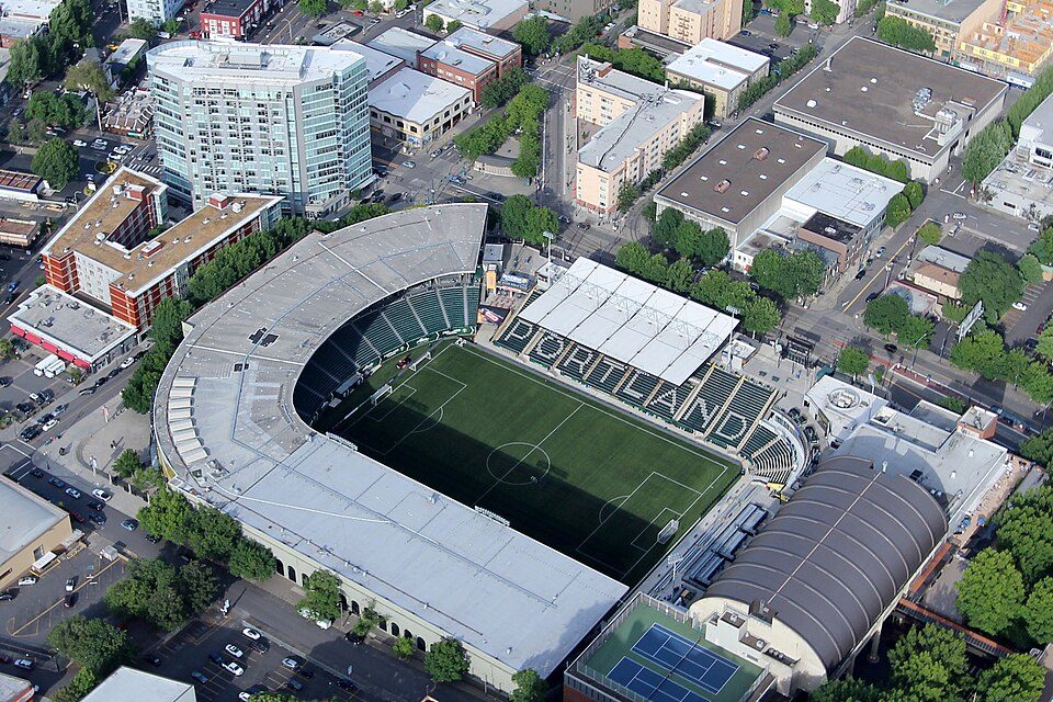 27 mi Stadium & arenaProvidence Park
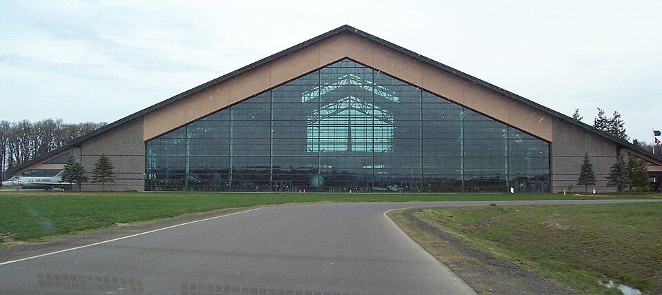 18 mi MuseumEvergreen Aviation & Space Museum
 26 mi City parkForest Park
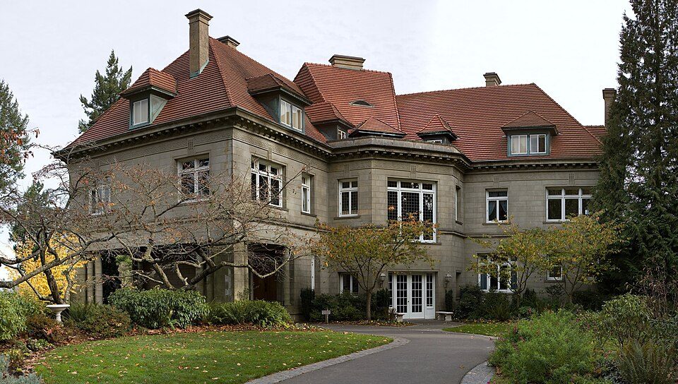 26 mi MuseumPittock Mansion
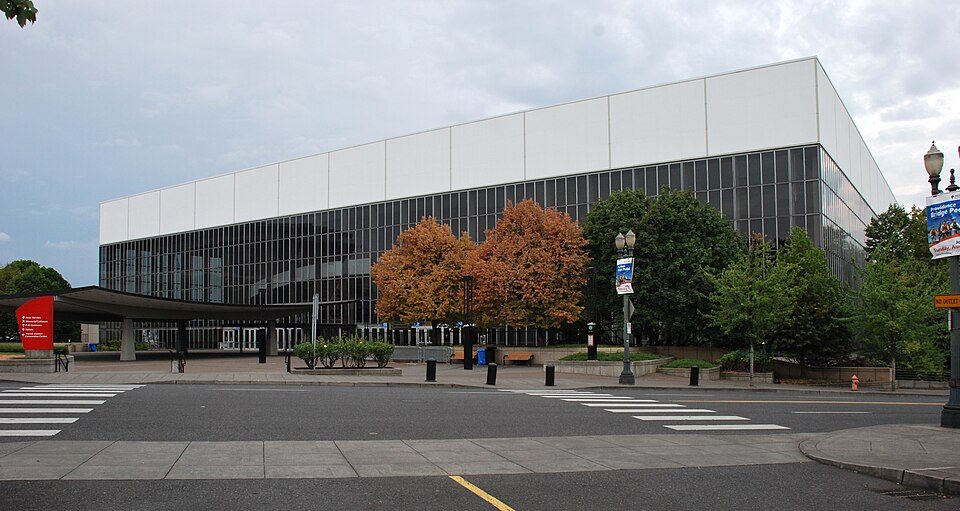 29 mi Stadium & arenaVeterans Memorial Coliseum
Moda Center: Lugnuts, CC BY-SA 3.0 · Providence Park: Pdx.rollingthunder, CC BY-SA 4.0 · Evergreen Aviation & Space Museum: Notkeel at English Wikipedia, Public domain · Forest Park: EncMstr, CC BY-SA 3.0 · Pittock Mansion: PittockBack.jpg: Cacophony derivative work: Tiptoety talk, CC BY-SA 3.0 · Veterans Memorial Coliseum: Steve Morgan, CC BY-SA 3.0
Cherry Grove is unincorporated, so Washington County and regional agencies provide most services.
EPA SDWIS (Oct 9, 2026) · HIFLD + EIA-861 2025 · Census 2020 ZCTAs · NCES 2024–25 · registration: vote.gov, updated Oct 2, 2026.
Ordered by what stands out in Cherry Grove.
16% of residents live below the poverty line in Cherry Grove. Half commute less than 19 miles. The top destinations are Hillsboro (26%), Portland (14%) and Forest Grove (10%).
Census LEHD 2023 · ACS
July afternoons reach 80°, January nights drop to 35° and about 5 inches of snow falls in a winter.
NOAA U.S. Climate Normals, 1991–2020
For Cherry Grove, the FEMA risk score is 65 of 100. Of the losses FEMA expects here, 54% come from inland flooding and 36% from earthquakes.
FEMA National Risk Index · OpenFEMA
Cherry Grove does better than the Oregon average on 4 of 26 CDC measures and worse on 1. For adults here, the share who get no exercise outside work is 18%.
| Cherry Grove | Oregon towns | U.S. towns | |
|---|---|---|---|
| Sleep under 7 hours (CDC PLACES) | 30% | 32% | 36% |
| Get no exercise (CDC PLACES) | 18% | 21% | 25% |
| Yearly checkup (CDC PLACES) | 73% | 72% | 79% |
| Binge drink (CDC PLACES) | 14% | 15% | 16% |
| What stands out | Cherry Grove | OR |
|---|---|---|
| Fewer uninsured adults | 6.5% | 8.5% |
| More adults screened for colon cancer | 69.1% | 63.4% |
| More adults with high cholesterol | 38.2% | 34.4% |
CDC PLACES 2025 · modeled estimates for adults · CMS · HRSA
Zillow Home Value Index · Redfin Data Center
1 within 15 miles of the center of Cherry Grove
About 3 of every 100 Cherry Grove residents are enrolled in college, against 6 across Oregon.
Where Cherry Grove’s working residents go each day. Line width shows the share.
Census LEHD 2023
Unincorporated community in the state of Oregon, United States
Cherry Grove is an unincorporated community in Washington County, Oregon, United States. Cherry Grove is situated on the north bank of the Tualatin River near where it exits the Northern Oregon Coast Range and enters Patton Valley. As of the 2020 census, Cherry Grove had a population of 503.
From Wikipedia, licensed CC BY-SA 4.0 · facts via Wikidata (CC0)
Short answers, built from the data on this page.
Cherry Grove has fewer than 1,000 residents, too few for fair grades; the figures below are still real.


