Stoney PointOK
A town of 188.
Is Stoney Point a good place to live?
30% of residents live below the poverty line in Stoney Point, above both Oklahoma’s towns (18%) and U.S. towns (9.6%). Of the 132 Oklahoma towns we compare, none has a higher share of children under 18 than Stoney Point. Stoney Point has fewer than 1,000 residents, too few for fair grades; the figures below are still real.
188 people, and everyone knows the way
In a town this size, neighbors are the best guide. Ask them anything.
Moving to Stoney Point: who provides what
Stoney Point is unincorporated, so Sequoyah County and regional agencies provide most services.
EPA SDWIS (Oct 9, 2026) · HIFLD + EIA-861 2025 · Census 2020 ZCTAs · NCES 2024–25 · registration: vote.gov, updated Sep 12, 2025.
The data
Ordered by what stands out in Stoney Point.
The FEMA risk score in Stoney Point is higher than in most of Oklahoma or the rest of the country
Stoney Point’s FEMA risk score is 87 of 100, against 61 of 100 in Oklahoma’s towns and 44 of 100 across U.S. towns.
FEMA National Risk Index · OpenFEMA
More children than Oklahoma overall
Children under 18 are 40% of residents (24% statewide); adults 18 to 34 are 9% of residents (23% statewide). 19% of adults 25 and older have a bachelor’s degree or more, vs 28% across Oklahoma.
| Stoney Point | Oklahoma towns | U.S. towns | |
|---|---|---|---|
| Bachelor’s degree or more, 25+ | 19% | 20% | 29% |
| Median age | 36.2 years | 36.2 years | 40.5 years |
Ages · share of residents
Education · adults 25 and older
Women and men · all residents
53% women, 47% men
That’s an even split within the survey’s margin of ±7 points. Across Oklahoma, 50.2% of residents are women.
| Stoney Point | OK | U.S. | |
|---|---|---|---|
| Under 10 | 20.2% | 12.8% | 11.6% |
| 10 to 17 | 19.7% | 11.2% | 10.3% |
| 18 to 24 | 2.1% | 9.8% | 9.1% |
| 25 to 34 | 6.9% | 13.5% | 13.7% |
| 35 to 44 | 19.1% | 13.2% | 13.2% |
| 45 to 54 | 5.9% | 11.4% | 12.2% |
| 55 to 64 | 12.8% | 11.9% | 12.7% |
| 65 to 74 | 6.9% | 9.7% | 10.2% |
| 75 and older | 6.4% | 6.6% | 7% |
| No diploma | 24.8% | 10.6% | 10.4% |
| High school | 33% | 30.6% | 26% |
| Some college | 17.4% | 22.1% | 19.1% |
| Associate’s | 5.5% | 8.3% | 8.8% |
| Bachelor’s | 19.3% | 18.5% | 21.6% |
| Graduate | 0% | 9.9% | 14.1% |
U.S. Census Bureau · ACS 2020-2024 5-year estimates · in a town of 200, single groups can be off by several points
Stoney Point has mild winters and hot summers
Stoney Point has mild winters and warm summers, with plenty of rain. Stoney Point’s July high is 91°F.
Typical low → high °F
NOAA U.S. Climate Normals, 1991–2020
A larger share of adults in Stoney Point have obesity than in the typical Oklahoma or U.S. town
50% of Stoney Point adults have obesity. Among 132 Oklahoma towns, just 3 have a higher share of adults who have high blood pressure than Stoney Point. 28% of Stoney Point adults have been diagnosed with depression.
| Stoney Point | Oklahoma towns | U.S. towns | |
|---|---|---|---|
| Smoke cigarettes (CDC PLACES) | 25% | 18% | 14% |
| Frequent physical distress (CDC PLACES) | 20% | 16% | 14% |
| Obesity (CDC PLACES) | 50% | 41% | 35% |
| High blood pressure (CDC PLACES) | 48% | 40% | 35% |
| What stands out | Stoney Point | OK |
|---|---|---|
| More adults treating high blood pressure | 79.7% | 76.3% |
| More adults with COPD | 13.3% | 8% |
CDC PLACES 2025 · modeled estimates for adults · CMS · HRSA
Stoney Point has set aside 1.1% of its land for conservation
1.8 miles of trail in 0 parks and preserves. Only 10 of the 114 Oklahoma towns we compare have a lower share of conserved land than Stoney Point. The trail density in Stoney Point is 0.1 miles per square mile.
| Stoney Point | Oklahoma towns | U.S. towns | |
|---|---|---|---|
| Conserved land | 1.1% | 6.9% | 4.3% |
| Miles of trail per square mile | 0.1 miles per square mile | 0.2 | 0.4 |
Trails & parks © OpenStreetMap contributors · Conserved land: USGS PAD-US
Spiro Mounds and 9 more within 40 miles
Museums, parks, gardens and other places to visit around Stoney Point. Close and well known come first.
 19 mi Ancient siteSpiro Mounds
 39 mi MuseumUSS Batfish
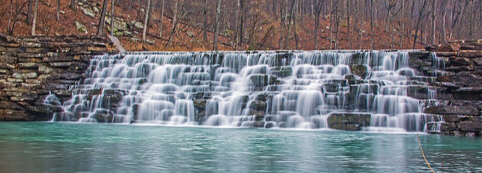 28 mi State parkDevil's Den State Park
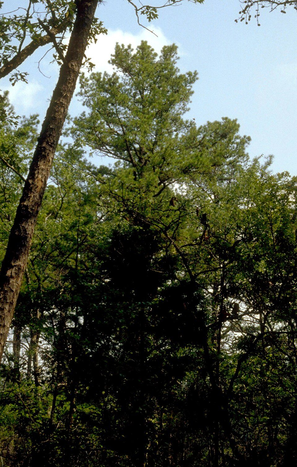 23 mi National forestOzark–St. Francis National Forest
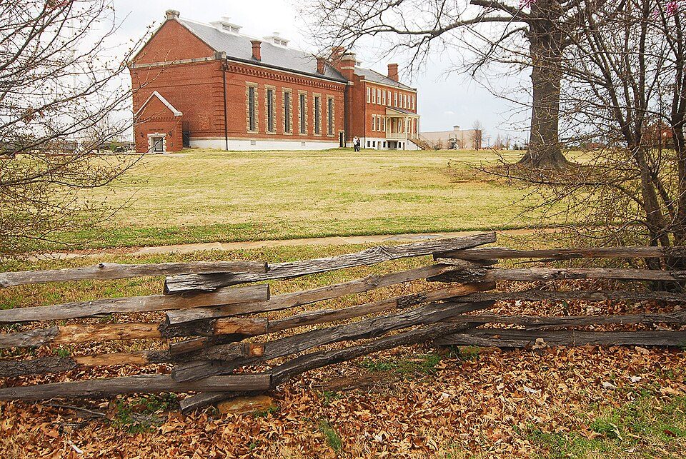 18 mi National Historic SiteFort Smith National Historic Site107K visitors a year
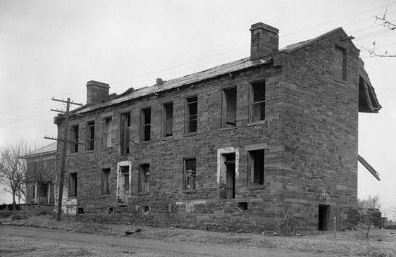 37 mi LandmarkFort Gibson
Photo credits
Spiro Mounds: Herb Roe Original uploader was Heironymous Rowe at en.wikipedia, CC BY-SA 3.0 · USS Batfish: Blackwing.1, CC BY-SA 3.0 · Devil's Den State Park: jaystout, CC BY 2.0 · Ozark–St. Francis National Forest: Paul A. Mistretta, USDA Forest Service, CC BY 3.0 us · Fort Smith National Historic Site: Photolitherland (talk) Chris Litherland, CC BY-SA 3.0 · Fort Gibson: Fred Q. Casler, Photographer, Public domain


Everything we know about Stoney Point
Colleges nearby
None within 15 miles of Stoney Point; the nearest are
About 0 of every 100 Stoney Point residents are enrolled in college, against 6 across Oklahoma.
About Stoney Point
CDP in Oklahoma, United States
Rocky Point (Cherokee: ᏅᏯ ᏗᏬᏴᏌᏛ) is a census-designated place (CDP) in Sequoyah County, Oklahoma, United States. It is part of the Fort Smith, Arkansas-Oklahoma Metropolitan Statistical Area. The population was 177 at the 2000 census.
From Wikipedia, licensed CC BY-SA 4.0 · facts via Wikidata (CC0)
- Area
- 23 sq mi
Questions about Stoney Point
Short answers, built from the data on this page.
Is Stoney Point, OK a good place to live?
Stoney Point has fewer than 1,000 residents, too few for fair grades; the figures below are still real.