Sour JohnOK
The town has 80 residents and lies in Oklahoma.
Is Sour John a good place to live?
Sour John’s midpoint age is 69.3 years, above both Oklahoma’s towns (36.2 years) and U.S. towns (40.5 years). Only 9 of the 132 Oklahoma towns we compare have a higher share of households owning their home than Sour John. Sour John’s concentration of trails is 2.8 miles per square mile, above both Oklahoma’s towns (0.2) and U.S. towns (0.4). The biggest place to walk is Gruber State Game Management Area, 2,388 acres with 15.1 miles of trail. Sour John has fewer than 1,000 residents, too few for fair grades; the figures below are still real.
80 people, and everyone knows the way
In a town this size, neighbors are the best guide. Ask them anything.
Moving to Sour John: who provides what
Sour John is unincorporated, so Muskogee County and regional agencies provide most services.
EPA SDWIS (Oct 9, 2026) · HIFLD + EIA-861 2025 · Census 2020 ZCTAs · NCES 2024–25 · registration: vote.gov, updated Sep 12, 2025.
The data
Ordered by what stands out in Sour John.
Very high risk in Sour John, with inland flooding at the top
The risk rating from FEMA in Sour John is 81 of 100. 50% of the town’s expected losses from natural hazards come from inland flooding, followed by tornadoes at 11%.
FEMA National Risk Index · OpenFEMA
Expect mild winters and hot summers in Sour John
Sour John’s peak summer temperature is recorded as 93°F.
Typical low → high °F
NOAA U.S. Climate Normals, 1991–2020
How healthy Sour John is
A fifth of Sour John adults report frequent mental distress. Only 8 of the 132 Oklahoma towns we compare have a higher share of adults who binge drink than Sour John. Among adults here, 27% have been diagnosed with depression and 29% get no exercise outside work.
| Sour John | Typical Oklahoma town | Typical U.S. town | |
|---|---|---|---|
| Frequent mental distress (CDC PLACES) | 20% | 19% | 17% |
| Depression (CDC PLACES) | 27% | 26% | 23% |
| Get no exercise (CDC PLACES) | 29% | 34% | 25% |
| Smoke cigarettes (CDC PLACES) | 18% | 18% | 14% |
| What stands out | Sour John | OK |
|---|---|---|
| Fewer older adults who have lost all their teeth | 10.1% | 16.4% |
CDC PLACES 2025 · modeled estimates for adults · CMS · HRSA
Open space protected for good: 0.6% of Sour John
Among 114 Oklahoma towns, just 6 have a lower share of conserved land than Sour John. Count the trails in 2 parks and preserves and they come to 16 miles. Walkers here have 2,501 acres of parks and preserves.
| Biggest places to walk | Trails | Acres |
|---|---|---|
| 1. Gruber State Game Management Area | 15.1 mi | 2,388 |
| 2. Greenleaf State Park | 0.5 mi | 113 |
Trails & parks © OpenStreetMap contributors · Conserved land: USGS PAD-US
USS Batfish and 8 more within 40 miles
Museums, parks, gardens and other places to visit around Sour John. Close and well known come first.
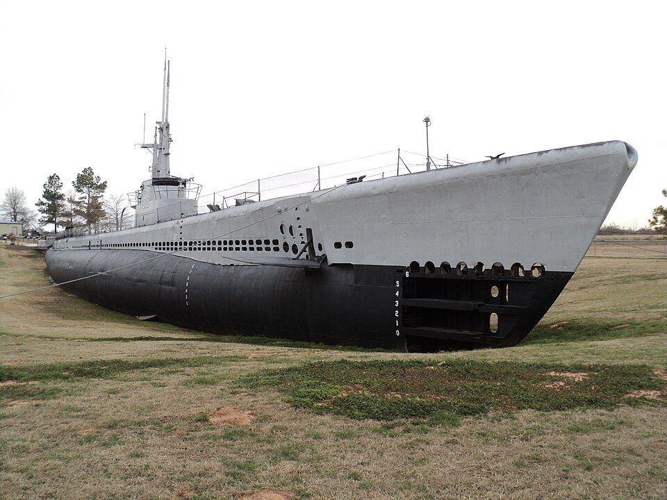 15 mi MuseumUSS Batfish
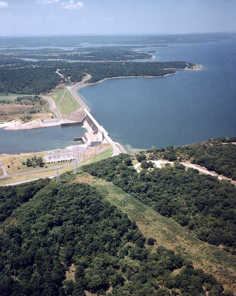 32 mi LakeEufaula Lake
 39 mi Ancient siteSpiro Mounds
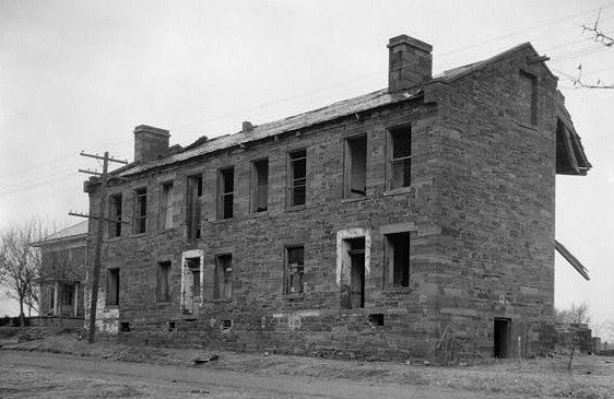 14 mi LandmarkFort Gibson
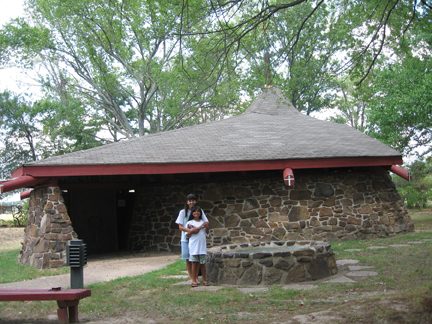 20 mi MuseumCherokee Heritage Center
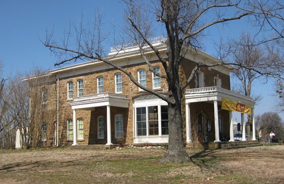 18 mi MuseumFive Civilized Tribes Museum
Photo credits
USS Batfish: Blackwing.1, CC BY-SA 3.0 · Eufaula Lake: U.S. Army Corps of Engineers, photographer not specified or unknown, Public domain · Spiro Mounds: Herb Roe Original uploader was Heironymous Rowe at en.wikipedia, CC BY-SA 3.0 · Fort Gibson: Fred Q. Casler, Photographer, Public domain · Cherokee Heritage Center: Uyvsdi, Public domain · Five Civilized Tribes Museum: Uyvsdi, Public domain


Everything we know about Sour John
Colleges nearby
1 within 15 miles of the center of Sour John
About 0 of every 100 Sour John residents are enrolled in college, against 6 across Oklahoma.
About Sour John
Census-designated place in Oklahoma, United States
Sour John is a census-designated place (CDP) in Muskogee County, Oklahoma, United States. The population was 71 at the 2020 census.
From Wikipedia, licensed CC BY-SA 4.0 · facts via Wikidata (CC0)
- Area
- 5.7 sq mi
Questions about Sour John
Short answers, built from the data on this page.
Is Sour John, OK a good place to live?
Sour John has fewer than 1,000 residents, too few for fair grades; the figures below are still real.