Urbana dates to 1805, and 33% of its homes were built before 1940
More historic than 96% of U.S. towns · #42 of 993 in Ohio. What drives it
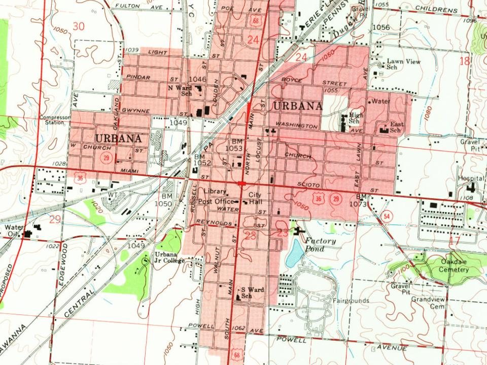
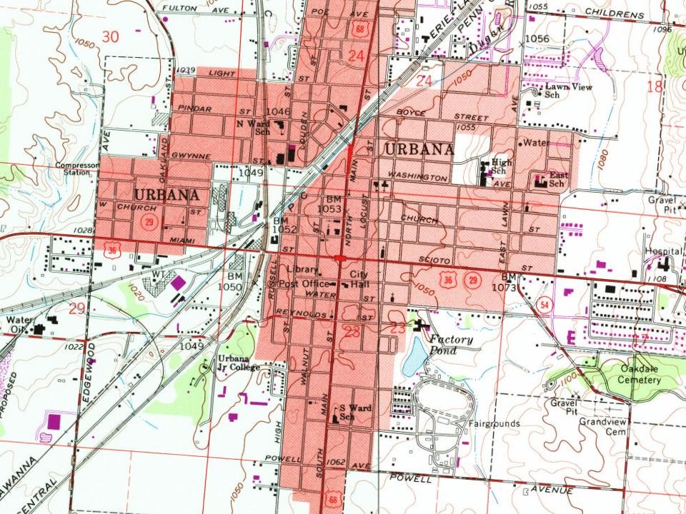
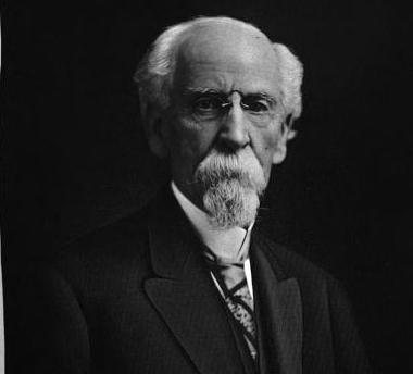
9 places in town are on the National Register, among them two historic districts with 138 buildings between them. Below: 6 old photos and papers, maps from 1885 on, and the census since 1820.
Founding year: Wikidata; Wikipedia’s history section gives the same year. First post office: 1809.The full story ↓
History grade
What drives Urbana’s History grade
On its age, its old homes and the National Register, Urbana is more historic than 96% of U.S. towns, #42 of 993 in Ohio. All 3 inputs are above most U.S. towns; its National Register listings ranks highest and its age lowest.
A+
HistoryA character grade: shown, never part of Urbana’s overall grade.
Ohio towns list about as much on the Register as the country (a typical Ohio town has 2.9 per 10,000 residents, the U.S. 2.4), so Urbana’s 133 sits above most of its state (95% of Ohio towns have fewer) while its 149 historic buildings outnumber those of 92% of U.S. towns.
How sure. Graded on any two of the three inputs instead, the letter would range from A to A+. The pre-1940 share is a Census survey estimate (±4.5 points). Two sources give 1805.
Founding year: Wikidata (other dates in Quick answers). Homes: Census ACS 2020–24. National Register: National Park Service, May 2026 list; each listing counted once (boundary changes and added documentation belong to their listing), and a historic district counts its contributing buildings. How TownRatings grades history →
What stands out about Urbana’s past
Read from the archive, the National Register and the record. The page puts what stands out first.
National Park Service, National Register of Historic Places. Photos from Wikimedia Commons, credited on each place’s page.
Every building
Urbana, building by building, 1885–1910
Fire insurance maps drew every building, what it was made of and what it was used for, so insurers could price the risk of fire. Pick a year, then a sheet.
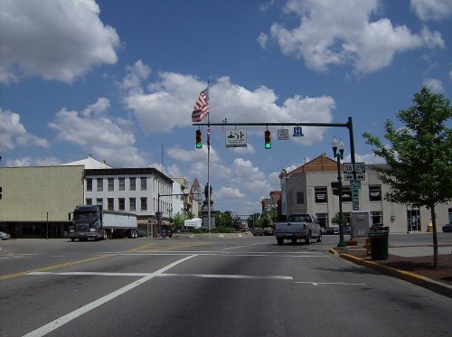
Champaign County was formed on February 20, 1805, following the American Revolution and the Northwest Indian War. Colonel William Ward, a Virginian who had settled in the Mad River Valley with Simon Kenton in 1799, purchased 160 acres which he considered the logical and most acceptable site for Champaign's county seat. He approached the county commissioners with a proposition to locate the seat of the new county on this tract. Ward suggested that site to divided into 212 lots and 22 out-lots, half of which, selected alternately, were to be given to the county and while Ward would retain the remainder. Ward also offered two lots for a cemetery and a tract for the public square. The county commissioners approved the proposal, and Ward, with Joseph C. Vance, entered into a written agreement on October 11, 1805. Ward and Vance named the new county seat, Urbana.
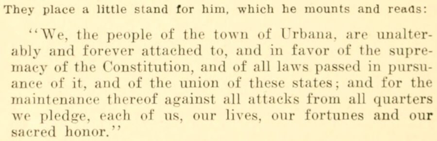
They place a little stand for him, which he mounts and reads: "We, the people of the town of Urbana, are unalterably and forever attached to, and in favor of the supremacy <d' the Constitution, and of all laws passed in pursuance of it. and of the union of these states; and for the maintenance thereof againsl all attacks from all quart* we pledge, each of us, our Lives, our fortunes and our sa<rcd honor."
Text read by machine from the scan; it may contain errors.
Scans and text from the Internet Archive. Books published in 1930 or earlier, which are in the public domain.
Timeline
Urbana, 1805 to 1961
Woven from the archive, old maps, post office records, the National Register and the people born here.
Nothing in the archives for these yearsWeddings on Main Street, storms, parades, school pictures, the old store. If it’s in your family album, it belongs here.
In 1805, according to Wikidata and Wikipedia’s history of the town. Urbana’s post office opened in 1809, and the census of 1820 counted 644 people here.
How does Urbana rank for history?
Urbana is more historic than 96% of U.S. towns, #42 of 993 in Ohio. The History grade combines the town’s founding era, the share of homes built before 1940 and its National Register listings. It’s a character grade, so it isn’t part of the overall grade. How it works.
What is on the National Register in Urbana?
9 listings: 7 buildings, among them the John Q. A. Ward House (listed 1974, the first), and 2 historic districts, the Urbana Monument Square Historic District and the Scioto Street Historic District, with 138 contributing buildings. 149 historic buildings in all.
How old are the homes in Urbana?
33% of Urbana’s homes were built before 1940 (Census estimate, ±4.5 points), against a typical 15% for an Ohio town; the median home was built in 1960.
Founding dates: Wikidata, Wikipedia, the U.S. post office records of Blevins & Helbock (CC0) and the Census. Homes by year built: Census ACS 2020–24. National Register of Historic Places: National Park Service (list of May 22, 2026). Old photos, postcards and papers: Wikimedia Commons, the Library of Congress and other public archives, credited on each item’s page. Maps: U.S. Geological Survey historical topographic maps (via Esri) and Sanborn fire-insurance maps (Library of Congress). History text and census tables: Wikipedia (CC BY-SA 4.0). Places that used to be: USGS Geographic Names Information System (2021).
From Wikimedia Commons (6), the National Register of Historic Places (9), Wikipedia, Wikidata and Wikipedia for famous people, U.S. Geological Survey historical maps, U.S. Census counts (via Wikipedia), the US Post Offices dataset (Blevins & Helbock), the USGS Geographic Names Information System, Sanborn fire insurance maps (Library of Congress) and old county and town histories (Internet Archive). Archive images are copied here with their credits and licenses, shown on each photo’s page. Refreshed monthly.


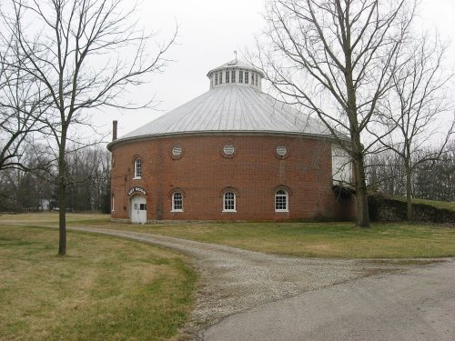







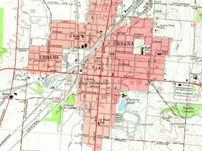
 1899
 1899
 1899
 1899
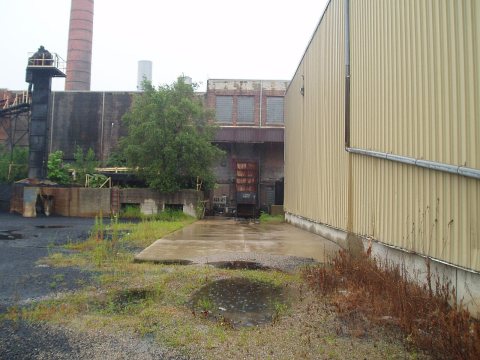 1899