Steubenville dates to 1795, and 26% of its homes were built before 1940
More historic than 94% of U.S. towns · #78 of 993 in Ohio. What drives it
9 places in town are on the National Register, among them four historic districts with 126 buildings between them. Below: 10 old photos and papers, maps from 1885 on, and the census since 1800.
Founding year: Wikidata. First post office: 1802.The full story ↓
History grade
What drives Steubenville’s History grade
On its age, its old homes and the National Register, Steubenville is more historic than 94% of U.S. towns, #78 of 993 in Ohio. All 3 inputs are above most U.S. towns; its National Register listings ranks highest and its age lowest.
A
HistoryA character grade: shown, never part of Steubenville’s overall grade.
Ohio towns list about as much on the Register as the country (a typical Ohio town has 2.9 per 10,000 residents, the U.S. 2.4), so Steubenville’s 71.7 sits above most of its state (91% of Ohio towns have fewer) while its 130 historic buildings outnumber those of 91% of U.S. towns.
How sure. Graded on any two of the three inputs instead, the letter would range from A− to A. The pre-1940 share is a Census survey estimate (±3.2 points). Two sources give 1795.
Founding year: Wikidata (other dates in Quick answers). Homes: Census ACS 2020–24. National Register: National Park Service, May 2026 list; each listing counted once (boundary changes and added documentation belong to their listing), and a historic district counts its contributing buildings. How TownRatings grades history →
What stands out about Steubenville’s past
Read from the archive, the National Register and the record. The page puts what stands out first.
In 1786–87, soldiers of the First American Regiment under Major Jean François Hamtramck built Fort Steuben to protect the government surveyors mapping the land west of the Ohio River. The fort was named in honor of Baron Friedrich Wilhelm von Steuben, a Prussian army officer who reformed the Continental Army during the American Revolution. When the surveyors completed their task a few years later, the fort was abandoned. In the meantime, settlers had built homes around the fort; they named their settlement Steubenville. The town was sometimes referred to as La Belle City, a franglais interpretation of "The Beautiful City".
Passages that mention Steubenville, cut from the printed page as they were published.
Centennial souvenir of Steubenville and Jefferson County, O.1897Read the page →
Read the text
The First Presbyterian Church was the first church organization in Steubenville. It was also the pioneer church of the Presbytery of Steubenville. It has been a mother of churches. Quite a number of flourishing organizations have been constituted, largely out of its membership. In 1837 more than sixty members of the First Presbyterian Church went into the new organization of the Second Church, and that same year thirty-nine members assisted in forming the Cross Creek Presbyterian Church. In 1873 forty-five members went into the
Text read by machine from the scan; it may contain errors.
Centennial souvenir of Steubenville and Jefferson County, O.1897Read the page →
Read the text
of Warren, and was made a separate township in 1823, and was named for Bezaleel Wells, one of the founders of Steubenville. There were settlements in this township, among the first on the Ohio side of the river. As early as 1790 the block house at the
Text read by machine from the scan; it may contain errors.
Scans and text from the Internet Archive. Books published in 1930 or earlier, which are in the public domain.
Timeline
Steubenville, 1795 to 1949
Woven from the archive, old maps, post office records, the National Register and the people born here.
Nothing in the archives for these yearsWeddings on Main Street, storms, parades, school pictures, the old store. If it’s in your family album, it belongs here.
Every edition of the U.S. Geological Survey’s map of Steubenville. Tap a year, or press play to watch the town change.
1904Steubenville sheet · 1:62,500
U.S. Geological Survey historical topographic maps (public domain), via Esri’s collection of the scans. The red ring marks the center of Steubenville.
Every building
Steubenville, building by building, 1885–1924
Fire insurance maps drew every building, what it was made of and what it was used for, so insurers could price the risk of fire. Pick a year, then a sheet.
In 1795, according to Wikidata. Steubenville’s post office opened in 1802, and the census of 1800 counted 731 people here.
How does Steubenville rank for history?
Steubenville is more historic than 94% of U.S. towns, #78 of 993 in Ohio. The History grade combines the town’s founding era, the share of homes built before 1940 and its National Register listings. It’s a character grade, so it isn’t part of the overall grade. How it works.
What is on the National Register in Steubenville?
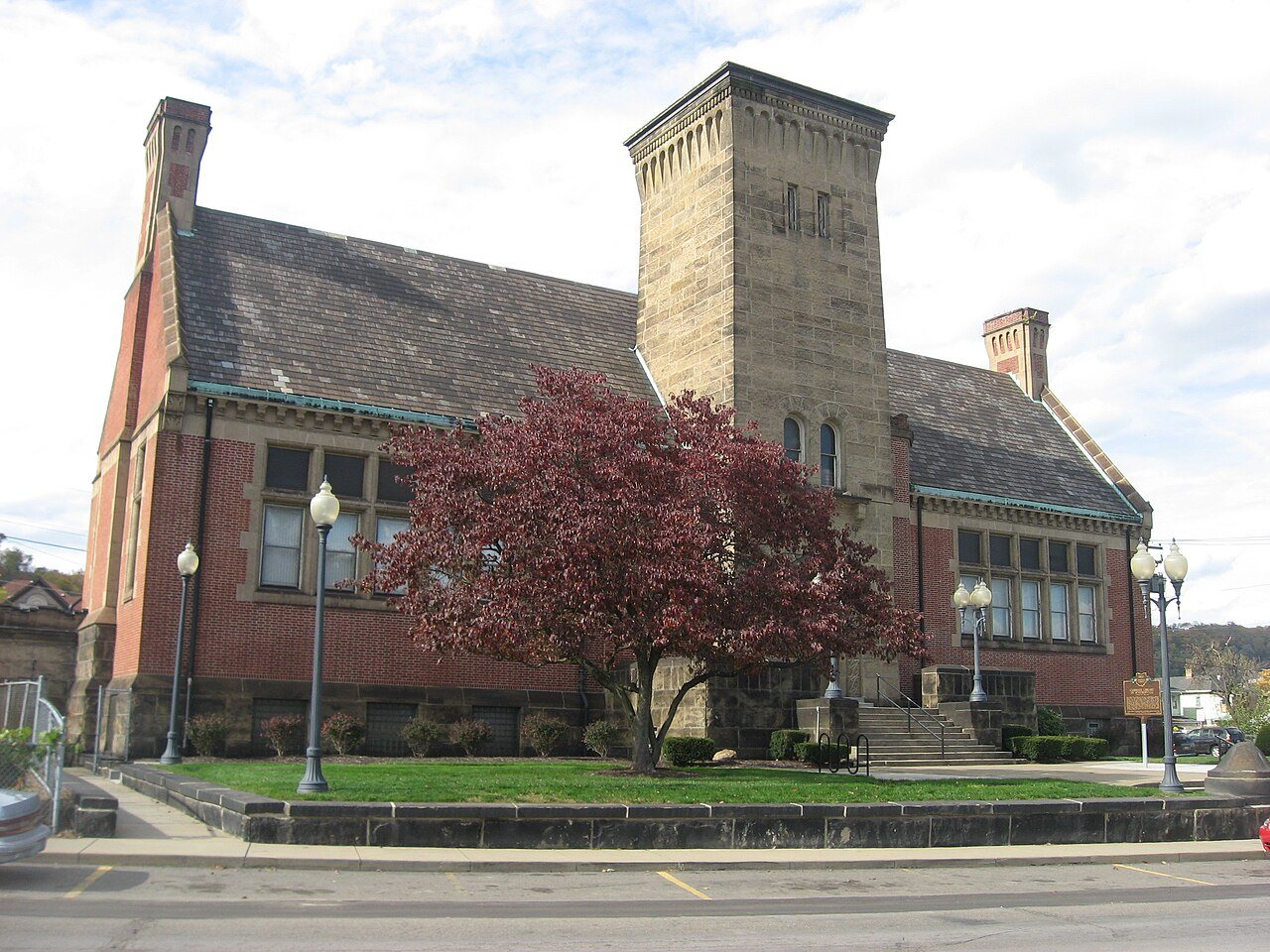
9 listings: 4 buildings, among them the Ohio Valley Clay Company (listed 1979, the first), 4 historic districts with 126 contributing buildings, and 1 structure. 130 historic buildings in all.
How old are the homes in Steubenville?
26% of Steubenville’s homes were built before 1940 (Census estimate, ±3.2 points), against a typical 15% for an Ohio town; the median home was built in 1953.
Founding dates: Wikidata, Wikipedia, the U.S. post office records of Blevins & Helbock (CC0) and the Census. Homes by year built: Census ACS 2020–24. National Register of Historic Places: National Park Service (list of May 22, 2026). Old photos, postcards and papers: Wikimedia Commons, the Library of Congress and other public archives, credited on each item’s page. Maps: U.S. Geological Survey historical topographic maps (via Esri) and Sanborn fire-insurance maps (Library of Congress). History text and census tables: Wikipedia (CC BY-SA 4.0). Places that used to be: USGS Geographic Names Information System (2021).
From Wikimedia Commons (3), the Library of Congress (7), Wikidata (2), the National Register of Historic Places (9), Wikipedia, Wikidata and Wikipedia for famous people, U.S. Geological Survey historical maps, U.S. Census counts (via Wikipedia), the US Post Offices dataset (Blevins & Helbock), the USGS Geographic Names Information System, Sanborn fire insurance maps (Library of Congress) and old county and town histories (Internet Archive). Archive images are copied here with their credits and licenses, shown on each photo’s page. Refreshed monthly.




 1905
 1905
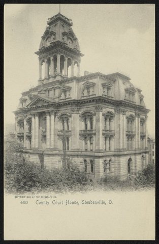 1905
 1905
 1905
 1905


