Mentor dates to 1797, and 13 of its places are on the National Register
More historic than 65% of U.S. towns · #480 of 993 in Ohio. What drives it
Most of Mentor was built recently: 5% of its homes predate 1940 and the median home dates from 1974. Below: 13 old photos and papers, maps from 1905 on, and the census since 1870.
Mentor dates its founding to 1797 (Wikidata and Wikipedia’s history agree). The census first counted it in 1870.
First census: 416 in 18702020 census: 47,450229 years
How did Mentor get its name?
Mentor is named after the Greek figure Mentor, in keeping with the Connecticut Western Reserve settlers' tradition, as well as that of most other Americans at the time, of celebrating aspects of Greek classicism.
How historic is Mentor?
B+
More historic than 65% of U.S. towns, on its age, its old homes and the National Register.
Founding year: Wikidata; Wikipedia’s history section gives the same year. First post office: 1819. Name: Wikipedia, licensed CC BY-SA 4.0.The full story ↓
History grade
What drives Mentor’s History grade
On its age, its old homes and the National Register, Mentor is more historic than 65% of U.S. towns, #480 of 993 in Ohio. Its age holds the grade up; its share of homes from before 1940 pulls it down.
B+
HistoryA character grade: shown, never part of Mentor’s overall grade.
Ohio towns list about as much on the Register as the country (a typical Ohio town has 2.9 per 10,000 residents, the U.S. 2.4), so Mentor’s 4.5 sits near the middle of its state (62% of Ohio towns have fewer) while its 21 historic buildings outnumber those of 80% of U.S. towns.
How sure. Graded on any two of the three inputs instead, the letter would range from B− to A−. The pre-1940 share (±1.1 points) is firm at this size. Two sources give 1797.
Founding year: Wikidata (other dates in Quick answers). Homes: Census ACS 2020–24. National Register: National Park Service, May 2026 list; each listing counted once (boundary changes and added documentation belong to their listing), and a historic district counts its contributing buildings. How TownRatings grades history →
What stands out about Mentor’s past
Read from the archive, the National Register and the record. The page puts what stands out first.
The country’s official list of buildings and places worth saving. One is a National Historic Landmark, the highest tier. Boundary changes and added documentation are counted with their listing.
National Park Service, National Register of Historic Places. Photos from Wikimedia Commons, credited on each place’s page.
Places that used to be
Lost post offices, old corners, places now gone and burying grounds
Mentor’s post office has been open since 1819. Two other post offices opened and closed inside today’s town.
Mentor
1819–today
West Mentor
1877–1921
Salida
1897–1905
18101920today
Hamlets and corners on the map
BrentwoodDriftwoodHach's Mobile Home ParkHeisleyMentor AcresMentor Green Mobile Home ParkMentor HeadlandsMentor-on-the-LakeMountain ViewReynoldsSalidaWest Mentor
Gone or out of use
Center Street Village Elementary SchoolschoolMentor-on-the-Lake Post Officepost officeSalida Post Officepost officeWest Mentor Post Officepost office
2cemeteries and burying grounds inside Mentor
BlackbrookMentor Municipal
US Post Offices dataset (Blevins & Helbock, CC0). Places and cemeteries from the USGS Geographic Names Information System (2021).
On the map
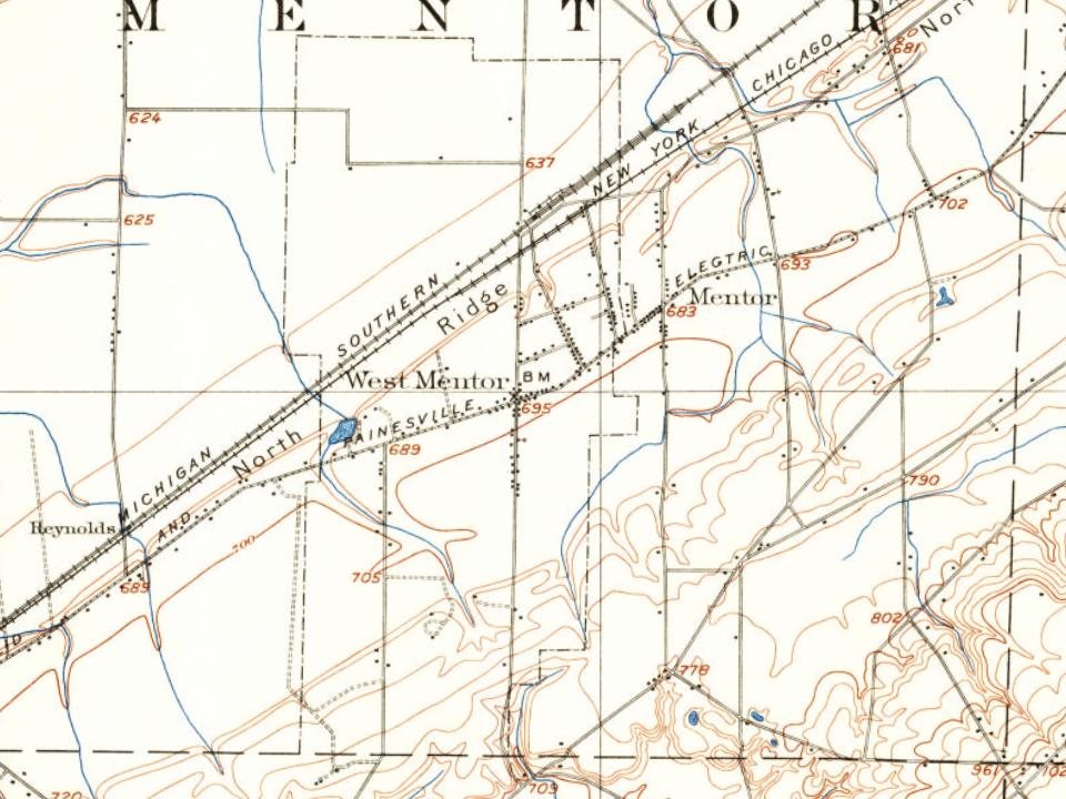
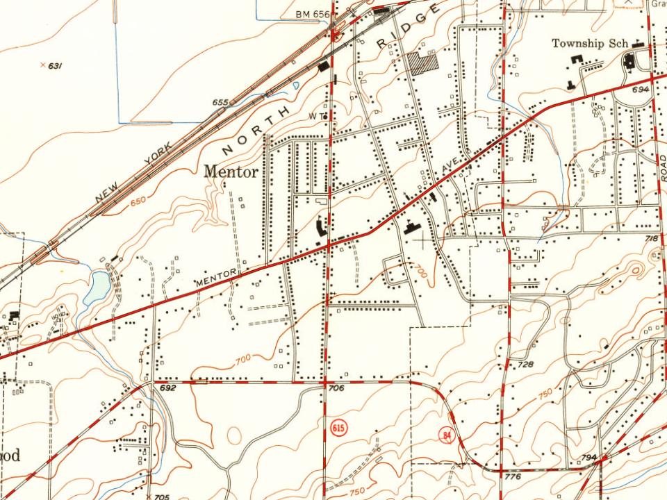
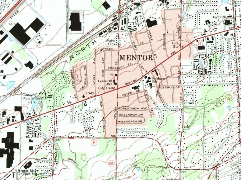
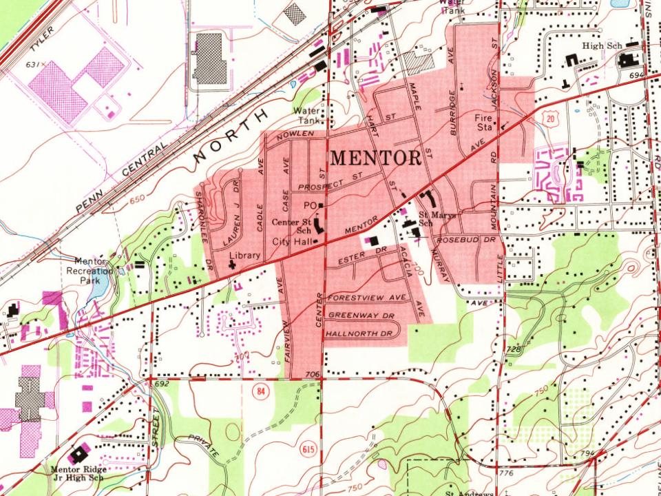
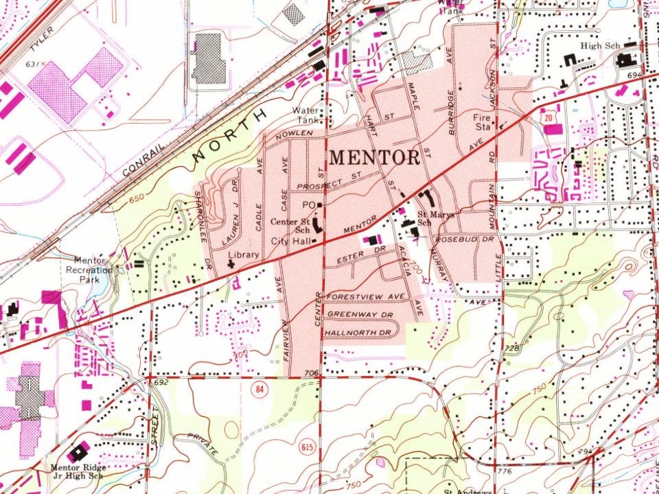
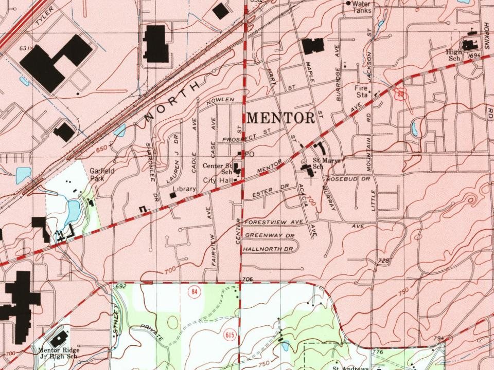
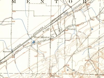
Mentor on the map, 1905 to 1994
Every edition of the U.S. Geological Survey’s map of Mentor. Tap a year, or press play to watch the town change.
1905Mentor sheet · 1:62,500
U.S. Geological Survey historical topographic maps (public domain), via Esri’s collection of the scans. The red ring marks the center of Mentor.
Mentor was founded in the late eighteenth century by Charles Parker, who built the first settlement in 1797.
Ohio became the 17th state in the Union in 1803. The community was formally established in 1855, and earned the nickname "Rose Capital of the Nation" due to the abundant rosebushes that grew throughout the city. During the time this nickname developed, Mentor's tourist industry boomed due to Clevelanders trying to escape a dirty, industrial atmosphere. With the post-World War II spread of the automobile, Mentor saw an increase in middle and working-class families. By 2000, about 50,000 people lived in the city.
Nothing in the archives for these yearsWeddings on Main Street, storms, parades, school pictures, the old store. If it’s in your family album, it belongs here.
In 1797, according to Wikidata and Wikipedia’s history of the town. Mentor’s post office opened in 1819, and the census of 1870 counted 416 people here.
How does Mentor rank for history?
Mentor is more historic than 65% of U.S. towns, #480 of 993 in Ohio. The History grade combines the town’s founding era, the share of homes built before 1940 and its National Register listings. It’s a character grade, so it isn’t part of the overall grade. How it works.
What is on the National Register in Mentor?
13 listings: 13 buildings, among them the James A. Garfield National Historic Site (a National Historic Landmark since 1964). 21 historic buildings in all.
How old are the homes in Mentor?
5% of Mentor’s homes were built before 1940 (Census estimate, ±1.1 points), against a typical 15% for an Ohio town; the median home was built in 1974.
Founding dates: Wikidata, Wikipedia, the U.S. post office records of Blevins & Helbock (CC0) and the Census. Homes by year built: Census ACS 2020–24. National Register of Historic Places: National Park Service (list of May 22, 2026). Old photos, postcards and papers: Wikimedia Commons, the Library of Congress and other public archives, credited on each item’s page. Maps: U.S. Geological Survey historical topographic maps (via Esri) and Sanborn fire-insurance maps (Library of Congress). History text and census tables: Wikipedia (CC BY-SA 4.0). Places that used to be: USGS Geographic Names Information System (2021).
From Wikimedia Commons (11), the Library of Congress (6), Wikidata (1), the National Register of Historic Places (13), Wikipedia, Wikidata and Wikipedia for famous people, U.S. Geological Survey historical maps, U.S. Census counts (via Wikipedia), the US Post Offices dataset (Blevins & Helbock) and the USGS Geographic Names Information System. Archive images are copied here with their credits and licenses, shown on each photo’s page. Refreshed monthly.
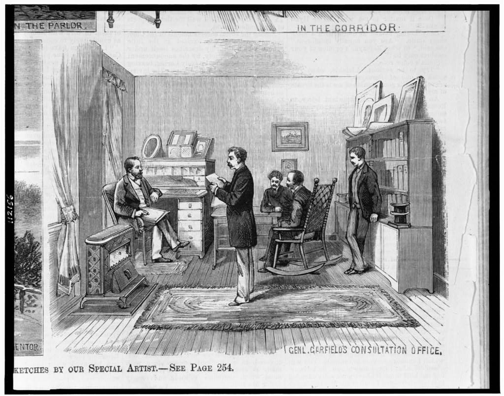


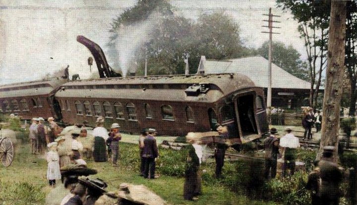

 ★ Landmark
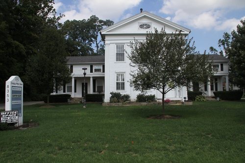


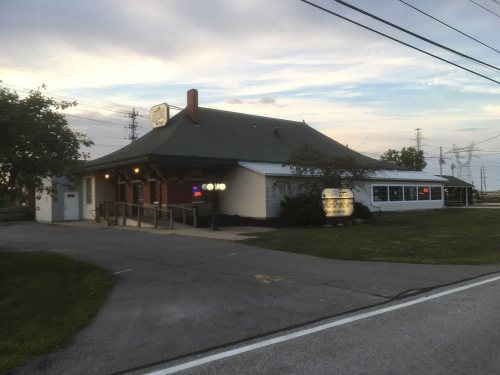







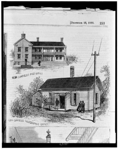 1880
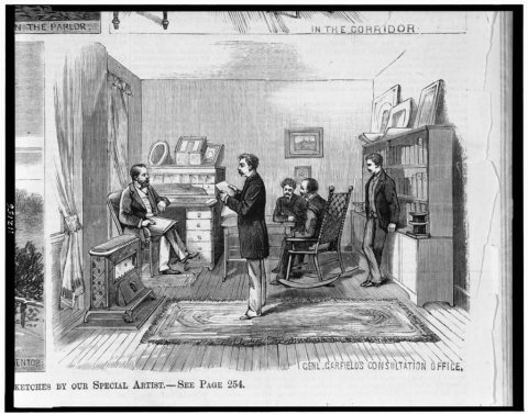 1880
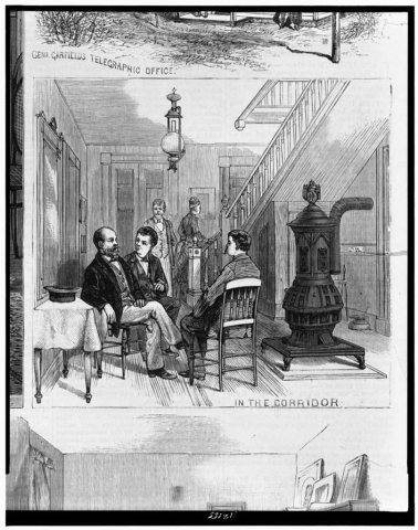 1880
 1880
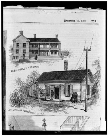 1880
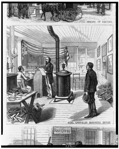 1880
 1905
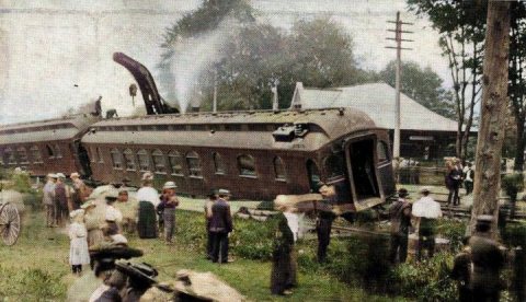 1905
 1905
 1906
 2013
 2012
 2012
 2006

