Hellbender Bluff Park
Managed by Columbia County
697 acres6.5 mi of trail
Bluff TrailBeaver Pond TrailMeadow TrailHemlock Trail+1
Dog rules not recorded
Directionsto the parking lot
Each edition grades its towns against each other only.
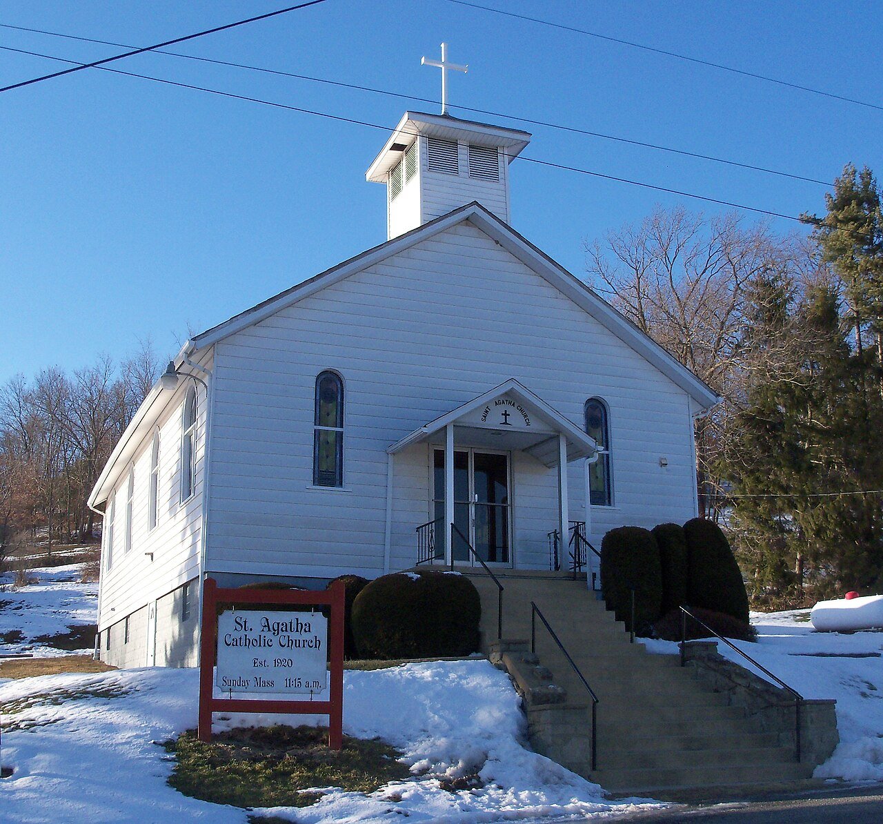 Photo: Roseohioresident · Public domain
The biggest trail networks: Hellbender Bluff Park (6.5 mi). 2% of residents live within a half mile of a park.
Ahead of 7% of U.S. towns · #955 of 993 in Ohio. What drives it
On conserved land, trails, park land and how close residents live to a park, Madison Township is ahead of 7% of U.S. towns, #955 of 993 in Ohio. All four inputs are below most U.S. towns; trail miles come closest.
PAD-US, OpenStreetMap (© OpenStreetMap contributors), Census 2025 Gazetteer and 2020 blocks; details in Sources below. How TownRatings grades the outdoors →
Tap a number to zoom to a park. Tap a layer to hide it.
The longest trail network is Hellbender Bluff Park, with 6.5 miles. Directions go to the nearest trailhead or public parking.
Beaches, playgrounds, peaks, falls and more. Pick a kind.
1 playground without a name on the map. Tap “Show all on map” to see it.
Bike lanes are often missing from the map in smaller towns, so that number is likely low.
Includes school and college facilities, which aren’t always open to the public.
NOAA’s 1991–2020 normals for the town and the daylight at its latitude. Outlined months have long days, highs of 59 to 86 °F and little rain for the place.
| Jan | Feb | Mar | Apr | May | Jun | Jul | Aug | Sep | Oct | Nov | Dec | |
|---|---|---|---|---|---|---|---|---|---|---|---|---|
| Daylight (h) | 9.6 | 10.6 | 11.8 | 13.2 | 14.4 | 15.1 | 14.8 | 13.8 | 12.4 | 11.0 | 9.8 | 9.3 |
| High (°F) | 35 | 39 | 48 | 61 | 71 | 79 | 83 | 82 | 75 | 63 | 50 | 40 |
| Rain (in) | 3.0 | 2.4 | 3.2 | 3.7 | 4.1 | 4.6 | 4.1 | 3.7 | 3.6 | 3.1 | 2.8 | 3.0 |
February is the driest month (2.4 in) and July the warmest (highs of 83 °F). 4.6 inches fall in June, the wettest month. The climate in Madison Township →
Tap a town to see its outdoors.
| Town | Conserved of land | Trail mi per sq mi | Park acres per 1,000 | Near a park ½ mile | Outdoors |
|---|---|---|---|---|---|
| Madison Township | under 1% | 0.2 | under 1 | 2% | D |
| St. Clair Township | 15% | 1.1 | 370 | 34% | A |
| Wayne Township | — not graded: under 1,000 residents or part of its town | ||||
| Elkrun Township | 3% | under 0.1 | 117 | 4% | C |
| Glenmoor | under 1% | 0.4 | under 1 | under 1% | D |
| Liverpool Township | under 1% | 0.1 | 7 | 16% | D |
| Middleton Township | 4% | 0.3 | 133 | 10% | B− |
The four inputs of the Outdoors grade, from the engine; shares are of land, not water.
The longest trail networks: Hellbender Bluff Park, 6.5 miles. Each one is on the map above, with directions to the nearest trailhead or parking.
under 1% of its land, against a typical 3% for an Ohio town and 4% nationally (PAD-US). Conserved doesn’t always mean open to visitors: easements are usually private land.
Hellbender Bluff Park doesn’t have dog rules recorded on the map; check the signs at the trailhead.
0.1 miles of bike routes are on the map: 0.1 of off-road paths.
13,703 acres of parks and open public land lie inside Madison Township or within 10 miles of it (PAD-US), almost none of it inside the town line.
Ahead of 7% of U.S. towns on the Outdoors grade, #955 of 993 in Ohio. The grade combines the share of land that is conserved, miles of mapped trail per square mile of land, park acres per 1,000 residents and the share of residents within a half mile of a park. It’s a character grade, so it isn’t part of the overall grade. How it works.
Conditions, parking and favorite walks from Madison Township neighbors.
Conserved and public land: USGS Protected Areas Database of the United States (PAD-US), service updated July 2026. Parks, trails, playgrounds, beaches and other places: OpenStreetMap (© OpenStreetMap contributors, ODbL), map data as of 2026-10-28. Land and water area: Census 2025 Gazetteer. Residents near a park: 2020 Census blocks. National Register: National Park Service. How TownRatings grades the outdoors →