
Cherry Fork, Ohio, 2012
Cherry Fork’s story
189 years in pictures
Census counts: 195 in 1930, 170 in 2020. The archive holds 5 old photos and papers going back to 2004 and 4 maps from 1918 on.
- 1837Cherry Fork is settled
Each edition grades its towns against each other only.

59% of residents live below the poverty line in Cherry Fork, against 9.1% in Ohio’s towns and 9.6% across U.S. towns. No town among the 994 in Ohio we compare has a higher share of workers working from home than Cherry Fork. Cherry Fork has fewer than 1,000 residents, too few for fair grades; the figures below are still real.
Where Cherry Fork beats most towns.
In a town this size, neighbors are the best guide. Ask them anything.
Census counts: 195 in 1930, 170 in 2020. The archive holds 5 old photos and papers going back to 2004 and 4 maps from 1918 on.
Cherry Fork is unincorporated, so Adams County and regional agencies provide most services.
EPA SDWIS (Oct 9, 2026) · HIFLD + EIA-861 2025 · Census 2020 ZCTAs · NCES 2024–25 · registration: vote.gov, updated Aug 3, 2026.
Ordered by what stands out in Cherry Fork.
Half commute less than 20 miles. The top destinations are West Union (7%), Wayne Township (7%) and Mount Orab (5%).
Census LEHD 2024 · ACS
A July afternoon gets to about 86° and a January night to 22°, and about 20 inches of snow fall in a winter.
NOAA U.S. Climate Normals, 1991–2020
For adults in Cherry Fork, the share who have diabetes is 14%. Two figures for adults locally: 31% get no exercise outside work, 19% report frequent mental distress.
| Cherry Fork | Typical Ohio town | Typical U.S. town | |
|---|---|---|---|
| Smoke cigarettes (CDC PLACES) | 20% | 16% | 14% |
| Get no exercise (CDC PLACES) | 31% | 28% | 25% |
| Frequent mental distress (CDC PLACES) | 19% | 18% | 17% |
| Frequent physical distress (CDC PLACES) | 16% | 15% | 14% |
| What stands out | Cherry Fork | OH |
|---|---|---|
| More smokers | 19.7% | 15.4% |
| More adults with COPD | 9.8% | 8% |
| Fewer adults screened for colon cancer | 60% | 65.2% |
CDC PLACES 2025 · modeled estimates for adults · CMS · HRSA
The FEMA risk score in Cherry Fork is 42 of 100. Of the losses FEMA expects locally, 68% come from inland flooding and 8% from tornadoes. Expected storm and flood damage is lower than in 58% of U.S. communities.
FEMA National Risk Index · OpenFEMA
Zillow Home Value Index · Redfin Data Center
| Biggest places to walk | Trails | Acres |
|---|---|---|
| 1. Wayne Township Community Park | — | 1 |
Trails & parks © OpenStreetMap contributors · Conserved land: USGS PAD-US
Museums, parks, gardens and other places to visit around Cherry Fork. Close and well known come first.
 14 mi MountainSerpent Mound
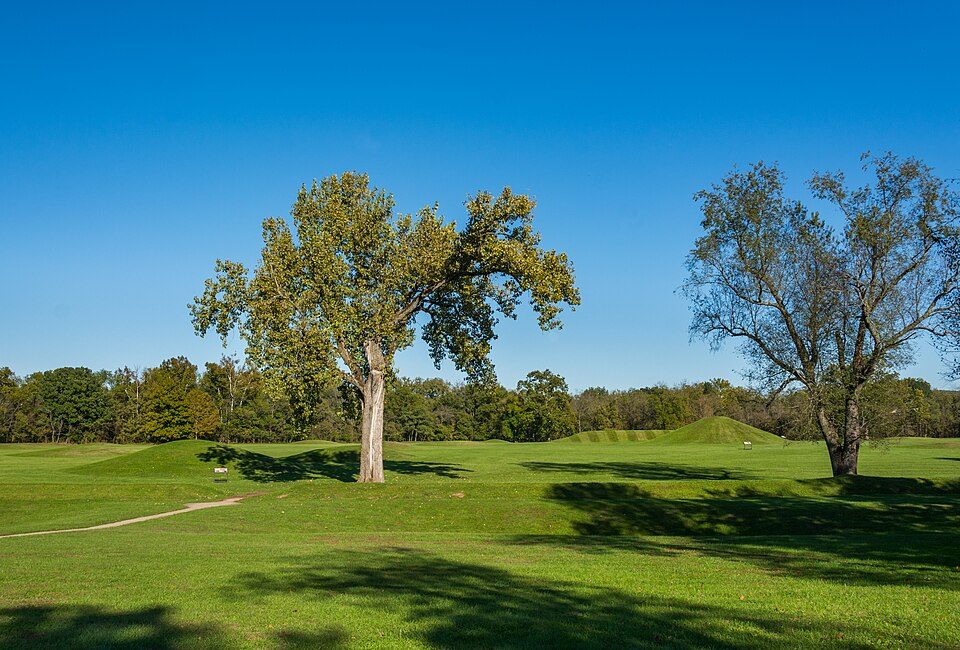 32 mi National Historical ParkHopewell Culture National Historical Park52K visitors a year
 16 mi MuseumJohn Rankin House
 16 mi MuseumJohn P. Parker House
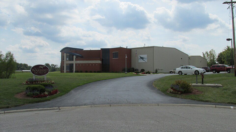 34 mi MuseumTri-State Warbird Museum
 38 mi MuseumBlue Licks Battlefield State Park
Serpent Mound: The British Library, No restrictions · Hopewell Culture National Historical Park: Ɱ, CC BY-SA 4.0 · John Rankin House: Rdikeman at English Wikipedia, CC BY-SA 3.0 · John P. Parker House: Nyttend, Public domain · Tri-State Warbird Museum: Aesopposea, CC BY-SA 3.0 · Blue Licks Battlefield State Park: Mason Brock (Masebrock), Public domain
None within 15 miles of Cherry Fork; the nearest are
About 0 of every 100 Cherry Fork residents are enrolled in college, against 6 across Ohio.
Where Cherry Fork’s working residents go each day. Line width shows the share.
Census LEHD 2024
Unincorporated community and Census-designated place in Ohio, United States
Cherry Fork is an unincorporated community and former village in Wayne Township, Adams County, Ohio, United States. The population was 170 at the 2020 census. In 2014, voters chose to disincorporate the village.
From Wikipedia, licensed CC BY-SA 4.0 · facts via Wikidata (CC0)
Short answers, built from the data on this page.
Cherry Fork has fewer than 1,000 residents, too few for fair grades; the figures below are still real.


