
Blue Licks Battlefield State Park
Blue Licks Battlefield State Resort Park is a park located near Mount Olivet, Kentucky in Robertson and Nicholas counties.

A museum, 8 mi north of Carlisle
Plan where you’ll sleep
The nearest town with many places to stay is Maysville, 19 miles northeast. Where to stay ↓
A day trip from Louisville
Louisville is about 92 miles west (straight-line). Where to stay ↓
Best months: Apr, May, Jun, Sep and Oct
April, May, June, September and October are the mild months, with highs of 67–83°. When to go ↓
Established in 1927
Blue Licks Battlefield State Park dates from 1927. About ↓
Written from NOAA 1991–2020 normals, Overture places to stay, Census town figures, Wikidata and Wikipedia.
Weather, month by month
Typical highs and lows in Carlisle. Green months are the mild ones.
Blue Licks Battlefield State Park
Blue Licks Battlefield State Resort Park is a park located near Mount Olivet, Kentucky in Robertson and Nicholas counties. The park encompasses 148 acres (60 ha) and features a monument commemorating the August 19, 1782 Battle of Blue Licks. The battle was regarded as the final battle of the American Revolutionary War.
- Type
- Museum
- Established
- 1927
- Wikipedia readers
- 1.5K a year
Where to stay near Blue Licks Battlefield State Park
The closest towns with hotels, motels or campgrounds are Carlisle (4) and Maysville (13), and Lexington has the most rooms in the area (112).
Carlisle
The closest town with somewhere to stay.
2,122 people
8 mi south of Blue Licks Battlefield
Lexington
The most places to stay in the area, and a base for a longer trip.
329,751 people
37 mi southwest of Blue Licks Battlefield
Compare 9 towns
| Town | From Blue Licks Battlefield | Drive | Places to stay | People | Typical home | Safety |
|---|---|---|---|---|---|---|
| Carlisle | 8 mi south | 10 min | 4 1 inn or B&B · 1 lodge or cabins · 2 campgrounds | 2,122 | $102K | A+ |
| Maysville | 19 mi northeast | 30 min | 13 6 hotels · 2 motels · 3 inns & B&Bs · 1 lodge or cabins · 1 campground | 8,688 | $152K | C |
| Paris | 22 mi southwest | 35 min | 9 3 hotels · 1 motel · 2 inns & B&Bs · 2 lodges & cabins · 1 campground | 10,130 | $186K | B− |
| Augusta | 24 mi north | 35 min | 8 4 hotels · 2 inns & B&Bs · 1 lodge or cabins · 1 campground | 1,099 | $110K | A− |
| Flemingsburg | 14 mi east | 20 min | 2 1 lodge or cabins · 1 campground | 3,005 | $133K | B+ |
| Mays Lick | 10 mi northeast | 15 min | 1 1 inn or B&B | 88 | — | — |
| Ripley | 23 mi northeast | 35 min | 5 1 motel · 4 campgrounds | 1,597 | $112K | — |
| Cynthiana | 17 mi west | 25 min | 2 1 motel · 1 inn or B&B | 6,576 | $173K | B− |
| Lexington | 37 mi southwest | 1 hr | 112 92 hotels · 9 motels · 5 inns & B&Bs · 4 lodges & cabins · 1 campground · 1 RV park | 329,751 | $294K | C− |
Getting there
Nearest airports with airline service
Also near Blue Licks Battlefield
Other well-known places within 65 miles.
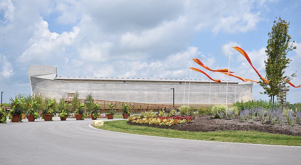 Big draw35 mi Theme parkArk Encounter
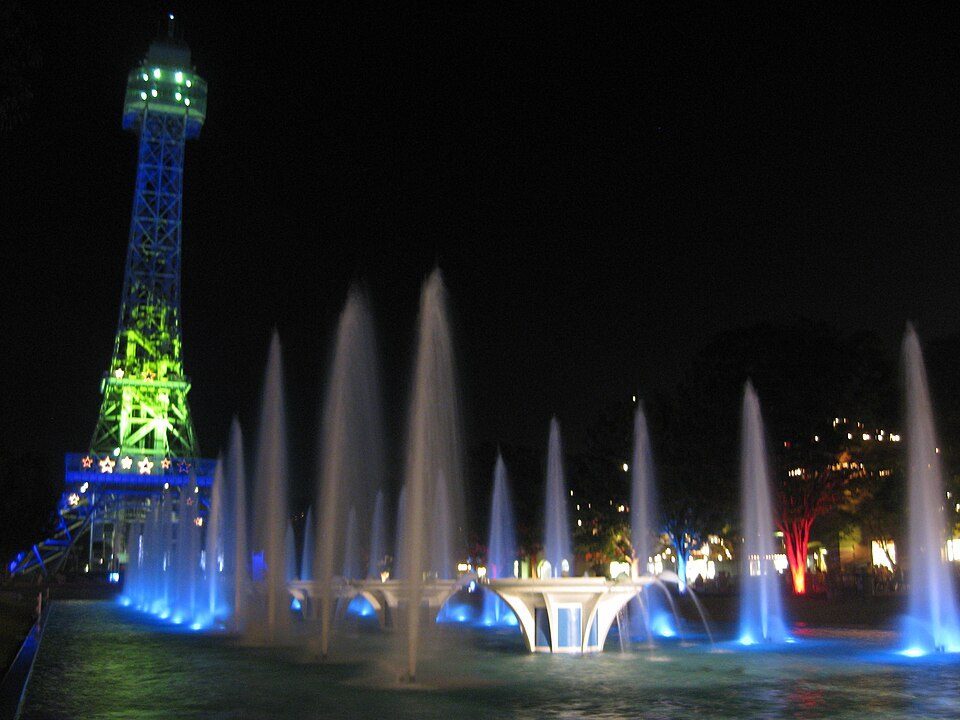 Big draw65 mi Theme parkKings Island3.5M visitors a year
 51 mi MountainSerpent Mound
 54 mi Stadium & arenaPaycor Stadium
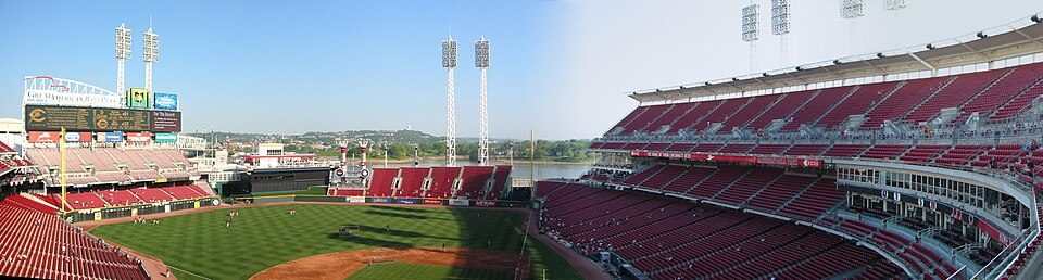 54 mi Stadium & arenaGreat American Ball Park
 39 mi Stadium & arenaKroger Field
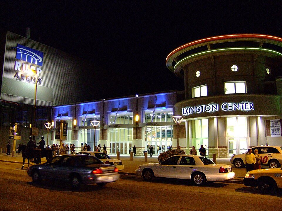 38 mi Stadium & arenaRupp Arena
 62 mi MuseumCreation Museum1.2M visitors a year
Photo credits
Ark Encounter: OlinEJ, CC0 · Kings Island: Eli Duke from Portland, OR, USA, CC BY-SA 2.0 · Serpent Mound: The British Library, No restrictions · Paycor Stadium: JonRidinger, CC BY-SA 4.0 · Great American Ball Park: Eric Kilby profile at Flickr website, CC BY-SA 2.0 · Kroger Field: Navin75, CC BY-SA 2.0 · Rupp Arena: The original uploader was Analogue Kid at English Wikipedia., CC BY 2.5 · Creation Museum: Creashin at English Wikipedia, Public domain


Visiting Blue Licks Battlefield
What town is Blue Licks Battlefield State Park near?
Carlisle, KY, about 8 miles south.
When is the best time to visit Blue Licks Battlefield State Park?
April, May, June, September and October, with highs of 67–83°.
How far is Blue Licks Battlefield State Park from Cincinnati and Louisville?
About 56 miles northwest of Cincinnati and about 92 miles west of Louisville, as the crow flies.
What is the closest airport to Blue Licks Battlefield State Park?
Blue Grass (LEX), about 43 miles away. The nearest big hub is Cincinnati Northern Kentucky (CVG), about 56 miles.
Where should I stay near Blue Licks Battlefield State Park?
Carlisle (8 mi, 4 places to stay), Lexington (37 mi, 112 places to stay) and Maysville (19 mi, 13 places to stay).
Tips from people in Carlisle
No tips yet. Ask, or answer, in Carlisle’s Town Square.
Sources: National Park Service · ski areas © OpenSkiMap / OpenStreetMap contributors · Wikidata · Wikipedia readership · NOAA climate normals · U.S. Census.