Wilna dates to 1798, and 48% of its homes were built before 1940
More historic than 94% of U.S. towns · #162 of 758 in New York. What drives it
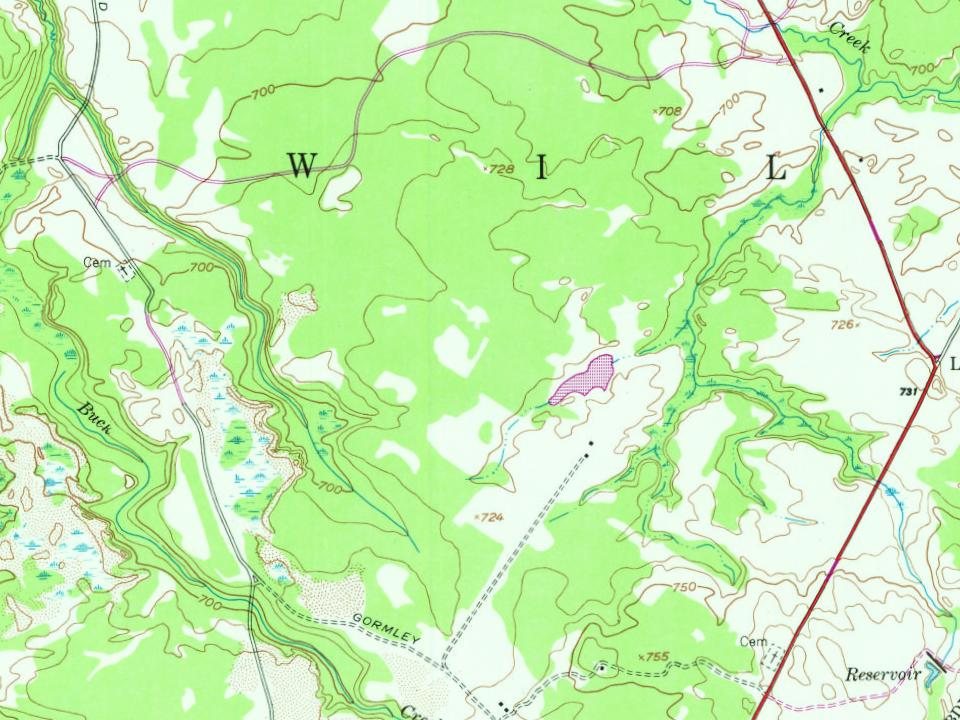
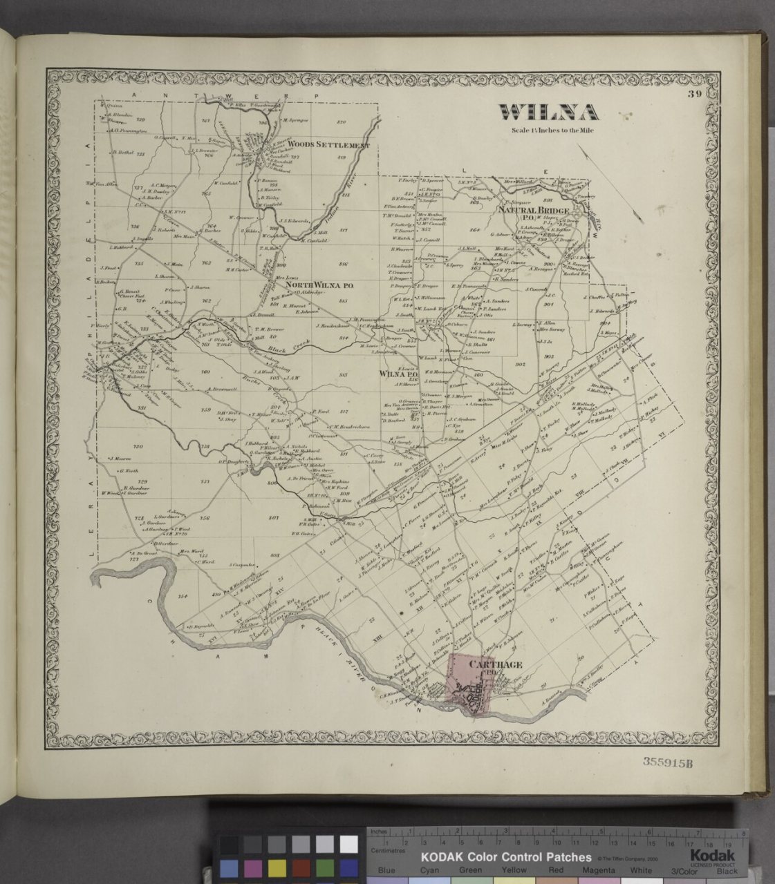
3 places in town are on the National Register, among them a historic district with 26 buildings. Below: 1 old photo or paper, maps from 1911 on, and the census since 1820.
Founding year: Wikipedia. First post office: 1814.The full story ↓
History grade
What drives Wilna’s History grade
On its age, its old homes and the National Register, Wilna is more historic than 94% of U.S. towns, #162 of 758 in New York. All 3 inputs are above most U.S. towns; its share of homes from before 1940 ranks highest and its National Register listings lowest.
A
HistoryA character grade: shown, never part of Wilna’s overall grade.
New York towns list more on the Register than most of the country (a typical New York town has 12.3 per 10,000 residents, the U.S. 2.4), so Wilna’s 51.1 sits above most of its state (69% of New York towns have fewer) while its 29 historic buildings outnumber those of 81% of U.S. towns.
How sure. Graded on any two of the three inputs instead, the letter would range from A− to A+. The pre-1940 share is a Census survey estimate (±6.8 points). Two sources give 1798.
Founding year: Wikipedia (other dates in Quick answers). Homes: Census ACS 2020–24. National Register: National Park Service, May 2026 list; each listing counted once (boundary changes and added documentation belong to their listing), and a historic district counts its contributing buildings. How TownRatings grades history →
What stands out about Wilna’s past
Read from the archive, the National Register and the record. The page puts what stands out first.
Carthage HospitalhospitalHosford School Number 7schoolSand Hill School Number 5schoolSchool Number 10schoolSchool Number 13schoolSchool Number 14schoolSchool Number 3schoolSchool Number 8schoolSchool Number 9school
3cemeteries and burying grounds inside Wilna
FairviewSaint JamesSand Hill
US Post Offices dataset (Blevins & Helbock, CC0). Places and cemeteries from the USGS Geographic Names Information System (2021).
Help out
Start Wilna’s collection
The first neighbors to add old photos shape how Wilna’s history is told.
Decades since 1900 with photos
00s10s20s30s40s50s60s70s80s90s
0 of 10 decades. The empty ones are waiting for someone’s album.
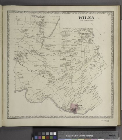
The town was first settled around 1798 at the location of the future village of Carthage. The town of Wilna was officially established in 1813 from parts of the town of Le Ray and the Lewis County town of Leyden. The origin of the name of the town is obscure, although it is alleged to be named after the German and Polish spelling ("Wilno") of Vilnius, in commemoration of the French occupation of Vilnius in 1812.
Wood's Grist Mill was listed on the National Register of Historic Places in 1995.
Passages that mention Wilna, cut from the printed page as they were published.
A history of Jefferson County in the state of New York1854 · page 556Read the page →
Read the text
Scapnlite is rarely found in detached crystals, imbedded in white limestone, in Antwerp. Adjacent to, and perhaps within, the town of Wilna, near Natural Bridge, the variety Nuttallite,
Text read by machine from the scan; it may contain errors.
History of Jefferson County, New York1878 · page 525Read the page →
Read the text
April 20, 1862, the river and its tributaries were higher than they had ever before been known ; brooks were suddenly swollen into torrents, and no less than twenty bridges in the town of Wilna were swept away. Nearly all of the business portion of Carthage was destroyed by a succession of fires which occurred upon July 29, 1862, Dec. 22, 1862, and May 12, 1863.
Text read by machine from the scan; it may contain errors.
History of Jefferson County, New York1878 · page 336Read the page →
Read the text
In 1840 a substantial covered bridge at this place was burned, and a few weeks after an act was passed authorizing a loan of $2500 to the town of Champion, $750 to Le Ray, S2000 to Wilna, and $750 to Pamelia, for building bridges over Black river, among which were those at this place and Carthage. These Ibans were to be repaid by a tax, in eight equal annual installments.
Text read by machine from the scan; it may contain errors.
Scans and text from the Internet Archive. Books published in 1930 or earlier, which are in the public domain.
Timeline
Wilna, 1798 to 1911
Woven from the archive, old maps, post office records, the National Register and the people born here.
In 1798, according to Wikipedia’s history of the town. Wilna’s post office opened in 1814, and the census of 1820 counted 648 people here.
How does Wilna rank for history?
Wilna is more historic than 94% of U.S. towns, #162 of 758 in New York. The History grade combines the town’s founding era, the share of homes built before 1940 and its National Register listings. It’s a character grade, so it isn’t part of the overall grade. How it works.
What is on the National Register in Wilna?
Three places: the State Street Historic District (listed 1983), the First Baptist Church and Cook Memorial Building (2005) and the US Post Office-Carthage (1988).
How old are the homes in Wilna?
48% of Wilna’s homes were built before 1940 (Census estimate, ±6.8 points), against a typical 27% for a New York town; the median home was built in 1952.
Founding dates: Wikidata, Wikipedia, the U.S. post office records of Blevins & Helbock (CC0) and the Census. Homes by year built: Census ACS 2020–24. National Register of Historic Places: National Park Service (list of May 22, 2026). Old photos, postcards and papers: Wikimedia Commons, the Library of Congress and other public archives, credited on each item’s page. Maps: U.S. Geological Survey historical topographic maps (via Esri) and Sanborn fire-insurance maps (Library of Congress). History text and census tables: Wikipedia (CC BY-SA 4.0). Places that used to be: USGS Geographic Names Information System (2021).
From Wikimedia Commons (2), the National Register of Historic Places (3), Wikipedia, Wikidata and Wikipedia for famous people, U.S. Geological Survey historical maps, U.S. Census counts (via Wikipedia), the US Post Offices dataset (Blevins & Helbock), the USGS Geographic Names Information System and old county and town histories (Internet Archive). Archive images are copied here with their credits and licenses, shown on each photo’s page. Refreshed monthly.
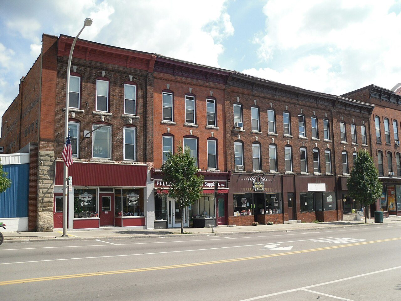




 2011