
Lyle House
Upper Red Hook’s story
207 years in pictures
The archive holds 1 old photo or paper and 4 maps from 1895 on.
- 1819Upper Red Hook is settled
Each edition grades its towns against each other only.
Upper Red Hook’s average trip to work is 64 minutes, against 25 minutes in New York’s towns and 25 minutes across U.S. towns. Upper Red Hook has fewer than 1,000 residents, too few for fair grades; the figures below are still real.
Where Upper Red Hook beats most towns.
In a town this size, neighbors are the best guide. Ask them anything.
The archive holds 1 old photo or paper and 4 maps from 1895 on.
Museums, parks, gardens and other places to visit around Upper Red Hook. Close and well known come first.
 18 mi National Historic SiteHome of Franklin D. Roosevelt National Historic Site102K visitors a year
 16 mi National Historic SiteVanderbilt Mansion National Historic Site295K visitors a year
 13 mi MuseumOlana State Historic Site
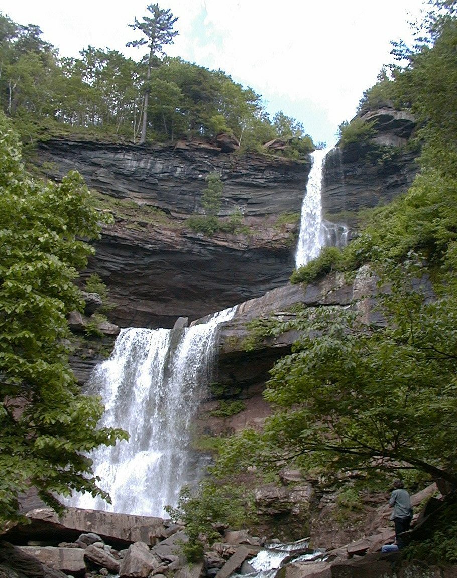 16 mi WaterfallKaaterskill Falls
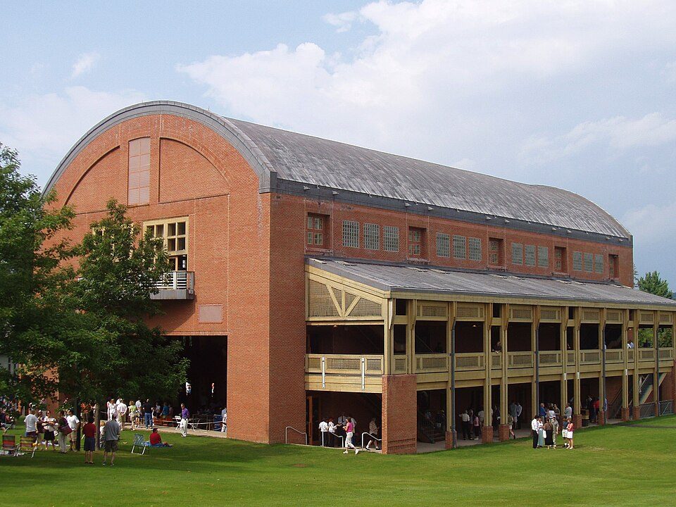 35 mi TheatreTanglewood18 mi MuseumFranklin D. Roosevelt Presidential Library and Museum
Home of Franklin D. Roosevelt National Historic Site: Crunch, CC BY-SA 4.0 · Vanderbilt Mansion National Historic Site: Daderot, Public domain · Olana State Historic Site: Netniks, CC BY-SA 4.0 · Kaaterskill Falls: Mwanner, CC BY-SA 3.0 · Tanglewood: Daderot., CC BY-SA 3.0
Upper Red Hook is unincorporated, so Dutchess County and regional agencies provide most services.
EPA SDWIS (Oct 9, 2026) · HIFLD + EIA-861 2025 · Census 2020 ZCTAs · NCES 2024–25 · registration: vote.gov, updated Aug 3, 2026.
Ordered by what stands out in Upper Red Hook.
In Upper Red Hook, the July high is 85°F.
NOAA U.S. Climate Normals, 1991–2020
Expected losses in Upper Red Hook break down as 75% from inland flooding and 8% from hurricanes. Its natural-hazard score from FEMA is recorded as 34 of 100.
FEMA National Risk Index · OpenFEMA
The middle household income here in Upper Red Hook is $152,000. Jobs in Upper Red Hook grew by 28 from 2014 to 2024, reaching 51. Half of commuters travel less than 12 miles. The top destinations are New York (17%), Red Hook (15%) and Rhinebeck (11%).
Census LEHD 2024 · ACS
The share of adults in Upper Red Hook who have high blood pressure is 27%. Against the New York average, Upper Red Hook comes out ahead on 20 CDC measures out of 32, and behind on 1.
| Upper Red Hook | Typical New York town | Typical U.S. town | |
|---|---|---|---|
| Obesity (CDC PLACES) | 24% | 33% | 35% |
| Frequent physical distress (CDC PLACES) | 9.8% | 14% | 14% |
| Diabetes (CDC PLACES) | 7.2% | 11% | 12% |
| High blood pressure (CDC PLACES) | 27% | 34% | 35% |
| What stands out | Upper Red Hook | NY |
|---|---|---|
| Fewer adults facing food insecurity | 7.5% | 17.2% |
| Fewer adults facing housing insecurity | 7.2% | 14.5% |
| More adults who have had cancer | 8.8% | 7.7% |
CDC PLACES 2025 · modeled estimates for adults · CMS · HRSA
2 within 15 miles of the center of Upper Red Hook
About 0 of every 100 Upper Red Hook residents are enrolled in college, against 7 across New York.
Census-designated place in New York, United States
Upper Red Hook is a hamlet and census-designated place (CDP) in the town of Red Hook in Dutchess County, New York, United States. It was first listed as a CDP prior to the 2020 census. As of the 2020 census, Upper Red Hook had a population of 180. The community is in northwestern Dutchess County, in the northeastern part of the town of Red Hook. U.S. Route 9 passes through the CDP, leading north 18 miles (29 km) to Hudson and southwest through Red Hook village 8 miles (13 km) to Rhinebeck.
From Wikipedia, licensed CC BY-SA 4.0 · facts via Wikidata (CC0)
Short answers, built from the data on this page.
Upper Red Hook has fewer than 1,000 residents, too few for fair grades; the figures below are still real.


