Hoosick dates to 1788, and 43% of its homes were built before 1940
More historic than 95% of U.S. towns · #143 of 758 in New York. What drives it
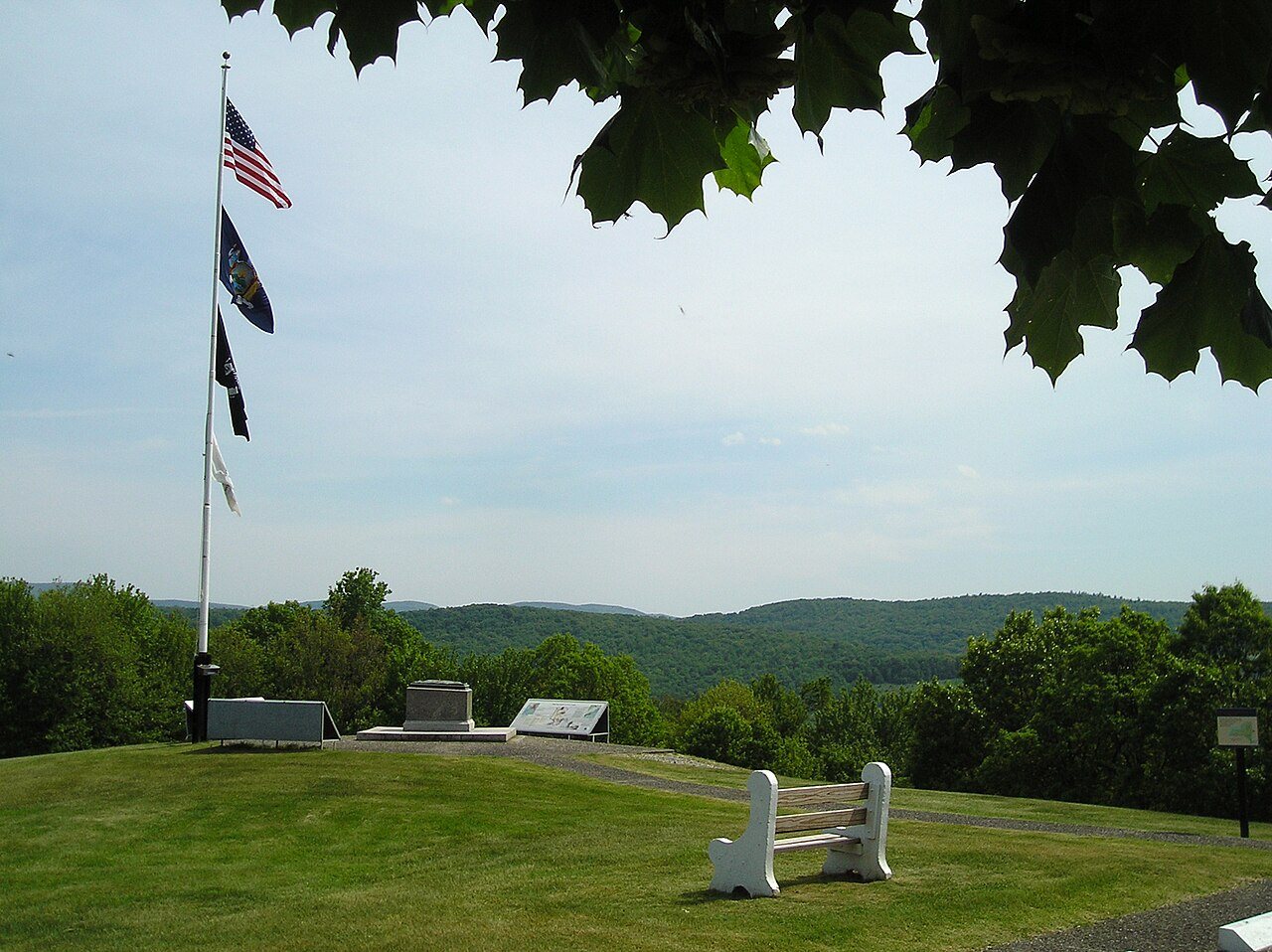
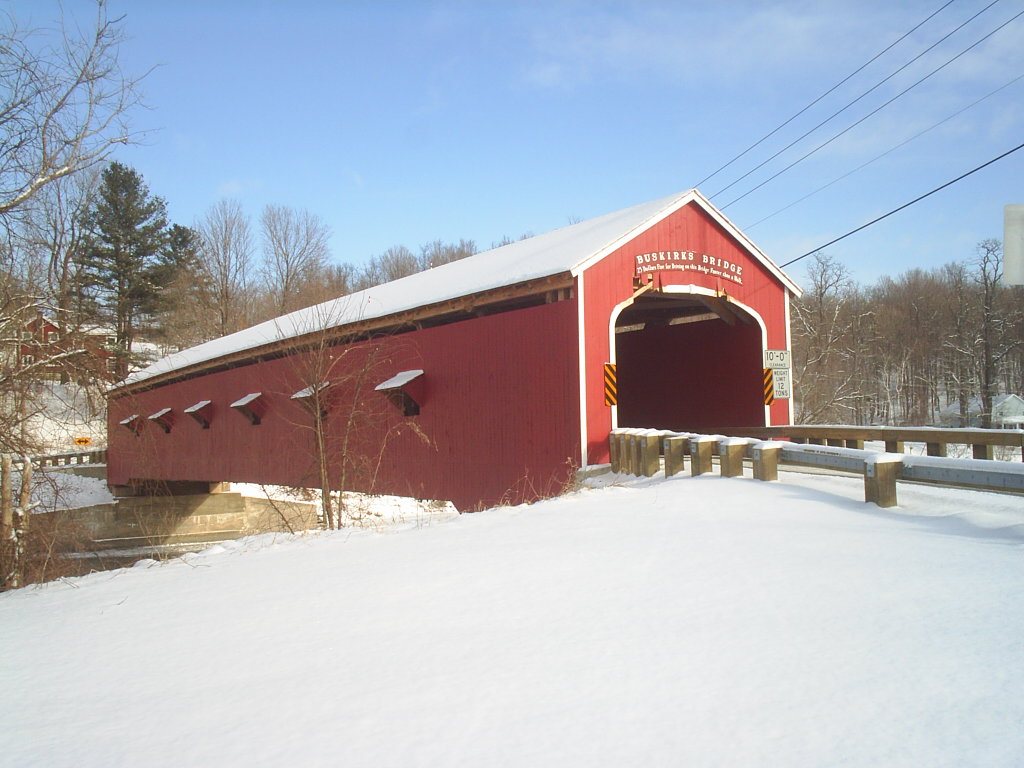
11 places in town are on the National Register, among them the Bennington Battlefield, a National Historic Landmark, and two historic districts with 53 buildings between them. Below: 2 old photos and papers, maps from 1897 on, and the census since 1820.
On its age, its old homes and the National Register, Hoosick is more historic than 95% of U.S. towns, #143 of 758 in New York. All 3 inputs are above most U.S. towns; its share of homes from before 1940 ranks highest and its age lowest.
A+
HistoryA character grade: shown, never part of Hoosick’s overall grade.
New York towns list more on the Register than most of the country (a typical New York town has 12.3 per 10,000 residents, the U.S. 2.4), so Hoosick’s 89.9 sits above most of its state (74% of New York towns have fewer) while its 60 historic buildings outnumber those of 86% of U.S. towns.
How sure. Graded on any two of the three inputs instead, the letter would range from A− to A+. The pre-1940 share is a Census survey estimate (±8.5 points). Two sources give 1788.
Founding year: Wikipedia (other dates in Quick answers). Homes: Census ACS 2020–24. National Register: National Park Service, May 2026 list; each listing counted once (boundary changes and added documentation belong to their listing), and a historic district counts its contributing buildings. How TownRatings grades history →
What stands out about Hoosick’s past
Read from the archive, the National Register and the record. The page puts what stands out first.
The town of Hoosick was organized in 1788, in Albany County, three years before the creation of Rensselaer County in 1791. The region was formerly the District of Hoosick (1772) and previous to that the Hoosick Patent (1688).
The Battle of Bennington of the American Revolution was fought northeast of Hoosick, on a farm owned by John Green, in the community of Walloomsac.
Passages that mention Hoosick, cut from the printed page as they were published.
Troy and Rensselaer county, New York1925 · page 583Read the page →
Read the text
Legislature arrived from Greenbush, ran slowly past the station to Hoosick Street; backed around the western turn of tracks on to the bridge; then around another heading south back to the station. This railroad wye, constructed at that point, eliminates the necessity of turning trains by turntable. There were five hundred guests seated at the banquet. Sprightly music, brilliant speeches, and ready. wit made the occasion one to be remembered. General George R. Davis, alderman of the Eighth Ward, replying to a speech in which Troy had been humor-
Text read by machine from the scan; it may contain errors.
Troy and Rensselaer county, New York1925 · page 585Read the page →
Read the text
Thus three railroads, the Delaware & Hudson Company, the Boston & Maine Railroad Company and the New York Central lines, have terminals in Troy to-day. The Troy & Bennington Railroad Company, formed May 15, 185 1, constructed the road from Hoosick Junction to Bennington, Vermont, now a part of the Rutland Railroad system, which operates into Troy over the line of the Boston & Maine. The Troy & Saratoga and Rutland & Washington railroads are part of the Delaware & Hudson system, while the Troy & Schenectady and Troy
Text read by machine from the scan; it may contain errors.
Scans and text from the Internet Archive. Books published in 1930 or earlier, which are in the public domain.
Timeline
Hoosick, 1767 to 1961
Woven from the archive, old maps, post office records, the National Register and the people born here.
In 1788, according to Wikipedia’s history of the town. Hoosick’s post office opened in 1807, and the census of 1820 counted 3,375 people here.
How does Hoosick rank for history?
Hoosick is more historic than 95% of U.S. towns, #143 of 758 in New York. The History grade combines the town’s founding era, the share of homes built before 1940 and its National Register listings. It’s a character grade, so it isn’t part of the overall grade. How it works.
What is on the National Register in Hoosick?
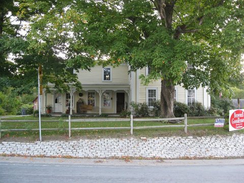
11 listings: 7 buildings, 2 historic districts, the Hoosick Falls Historic District and the Gooding Farm, with 53 contributing buildings, 1 site, and 1 structure. 60 historic buildings in all.
How old are the homes in Hoosick?
43% of Hoosick’s homes were built before 1940 (Census estimate, ±8.5 points), against a typical 27% for a New York town; the median home was built in 1954.
Founding dates: Wikidata, Wikipedia, the U.S. post office records of Blevins & Helbock (CC0) and the Census. Homes by year built: Census ACS 2020–24. National Register of Historic Places: National Park Service (list of May 22, 2026). Old photos, postcards and papers: Wikimedia Commons, the Library of Congress and other public archives, credited on each item’s page. Maps: U.S. Geological Survey historical topographic maps (via Esri) and Sanborn fire-insurance maps (Library of Congress). History text and census tables: Wikipedia (CC BY-SA 4.0). Places that used to be: USGS Geographic Names Information System (2021).
From Wikimedia Commons (18), the National Register of Historic Places (11), Wikipedia, Wikidata and Wikipedia for famous people, U.S. Geological Survey historical maps, U.S. Census counts (via Wikipedia), the US Post Offices dataset (Blevins & Helbock), the USGS Geographic Names Information System and old county and town histories (Internet Archive). Archive images are copied here with their credits and licenses, shown on each photo’s page. Refreshed monthly.

 ★ Landmark


 2009
 2009
 2009
 2009
 2009
 2009
 2009
 2009
 2009
 2009
 2009
 2009
 2009
 2009
 2009
 2008


