Its Register listings are the Hadley Parabolic Bridge and the Hadley Mountain Fire Observation Station. Below: maps from 1903 on and the census since 1810.
Founding year: the first Hadley post office (Blevins & Helbock, CC0).The full story ↓
History grade
What drives Hadley’s History grade
On its age, its old homes and the National Register, Hadley is more historic than 80% of U.S. towns. All 3 inputs are above most U.S. towns; its share of homes from before 1940 ranks highest and its National Register listings lowest.
A−
HistoryA character grade: shown, never part of Hadley’s overall grade.
New York towns list more on the Register than most of the country (a typical New York town has 12.3 per 10,000 residents, the U.S. 2.4), so Hadley’s 9.6 sits near the middle of its state (45% of New York towns have fewer) while its 2 listings outnumber those of 60% of U.S. towns.
How sure. Graded on any two of the three inputs instead, the letter would range from B+ to A−. The pre-1940 share is a Census survey estimate (±12.2 points). The founding year is the first post office, not a stated founding date.
Founding year: the first post office (other dates in Quick answers). Homes: Census ACS 2020–24. National Register: National Park Service, May 2026 list; each listing counted once (boundary changes and added documentation belong to their listing), and a historic district counts its contributing buildings. How TownRatings grades history →
What stands out about Hadley’s past
Read from the archive, the National Register and the record. The page puts what stands out first.
The town was formed from parts of the Towns of Greenfield and Northumberland in 1801. The Town of Corinth was taken from Hadley in 1818, and the Town of Day was removed in 1819, bringing the Town of Hadley to its current dimensions.
In 1930, the Conklingville Dam by the west town line helped create the Sacandaga Reservoir and controlled flooding.
The Hadley Mountain Fire Observation Station and Hadley Parabolic Bridge are listed on the National Register of Historic Places.
In 1715 the General Court made an additional grant of a tract of land four miles square to the township of Hadley, so that the town should thereafter include within its limits what is now South Hadley and South Hadley Falls and control the fishing privilege at the "Greate Falls" on the east side of the river. Three other excellent fishing places, one below the mouth of Mill River, one a little east of the southern end of the
Text read by machine from the scan; it may contain errors.
History of Saratoga County, New York1893 · page 177Read the page →
Read the text
The town of Corinth was formed from the town of Hadley, April 20, 1818. A part of Moreau was annexed January 28, 1848. It lies upon the Hudson, in the northeast part 12 of the county. The Kayaderrossera mountain range occupies the central and north parts, and the Palmertown mountains the south-
Text read by machine from the scan; it may contain errors.
The Hadley farmers were all ready for revolution, for they had been greatly exasperated by the King's surveyors who confiscated all trees twenty-four inches in diameter a foot above the ground, to be made into masts for the British navy. In 1765 Josiah Pierce recorded in his almanac, " A mob in Hadley on account of logs." The perpetual wrangling over seating the meeting-house was hushed by the call of the minute
Text read by machine from the scan; it may contain errors.
Scans and text from the Internet Archive. Books published in 1930 or earlier, which are in the public domain.
Timeline
Hadley, 1802 to 2010
Woven from the archive, old maps, post office records, the National Register and the people born here.
The Hadley post office opened in 1802, the earliest record of the town by name (U.S. post office records).
How does Hadley rank for history?
Hadley is more historic than 80% of U.S. towns. The History grade combines the town’s founding era, the share of homes built before 1940 and its National Register listings. It’s a character grade, so it isn’t part of the overall grade. How it works.
What is on the National Register in Hadley?
Two places: the Hadley Parabolic Bridge (listed 1977) and the Hadley Mountain Fire Observation Station (2001).
How old are the homes in Hadley?
25% of Hadley’s homes were built before 1940 (Census estimate, ±12.2 points), against a typical 27% for a New York town; the median home was built in 1972.
Founding dates: Wikidata, Wikipedia, the U.S. post office records of Blevins & Helbock (CC0) and the Census. Homes by year built: Census ACS 2020–24. National Register of Historic Places: National Park Service (list of May 22, 2026). Old photos, postcards and papers: Wikimedia Commons, the Library of Congress and other public archives, credited on each item’s page. Maps: U.S. Geological Survey historical topographic maps (via Esri) and Sanborn fire-insurance maps (Library of Congress). History text and census tables: Wikipedia (CC BY-SA 4.0). Places that used to be: USGS Geographic Names Information System (2021).
From Wikimedia Commons (23), Wikidata (1), the National Register of Historic Places (2), Wikipedia, Wikidata and Wikipedia for famous people, U.S. Geological Survey historical maps, U.S. Census counts (via Wikipedia), the US Post Offices dataset (Blevins & Helbock), the USGS Geographic Names Information System and old county and town histories (Internet Archive). Archive images are copied here with their credits and licenses, shown on each photo’s page. Refreshed monthly.


 2021
 2021
 2021
 2021
 2021
 2021
 2021
 2021
 2021
 2021
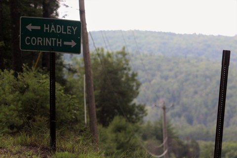 2021
 2021
 2021
 2021
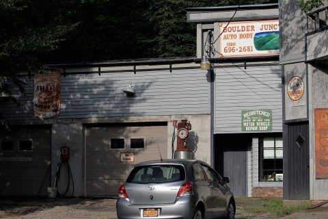 2021
 2021
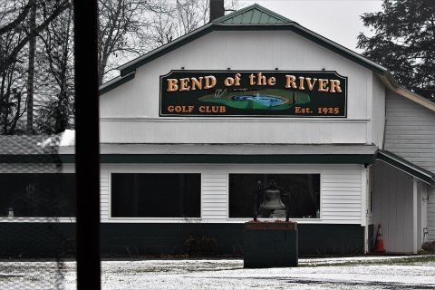 2021
 2021
 2021
 2021
 2021
 2017
 2015