Guest, Sign inJoin

Post to Fishers Island

We’ll email a one-tap link to publish your post. No password, and nothing is public until you click it.
Already a member? Sign in
New York›Suffolk County

Fishers IslandNY

The town was settled in 1881 and has 72 residents today.

Is Fishers Island a good place to live?

40% of adults 25 and older hold a bachelor’s degree or more in Fishers Island, where New York’s towns sit at 32% and U.S. towns at 29%. Fishers Island’s density of trails is 1.0 miles per square mile, above both New York’s towns (0.4) and U.S. towns (0.4). Fishers Island has fewer than 1,000 residents, too few for fair grades; the figures below are still real.

By the sea

Fishers Island lives by the ocean

Coastal flooding makes up 15% of the storm damage FEMA expects here.

15%of expected storm damage is coastal flooding
97thpercentile for coastal flood risk nationally
81stpercentile for hurricane risk

FEMA National Risk Index · OpenFEMA · OpenStreetMap

Naval militia at Fisher's Island, Capt. Miller in command
Naval militia at Fisher's Island, Capt. Miller in command, 1890
Fishers Island’s story

145 years in pictures

Census counts: 289 in 2000, 424 in 2020. The archive holds 9 old photos and papers going back to 1890 and 4 maps from 1944 on.

  • 1881Fishers Island is settled
Explore the history →
Nearby attractions

The Breakers and 57 more within 40 miles

Museums, parks, gardens and other places to visit around Fishers Island. Close and well known come first.

All 143 attractions →
Sources: National Park Service · ski areas © OpenSkiMap / OpenStreetMap contributors · Wikidata · Wikipedia readership · photos via Wikimedia Commons
Photo credits

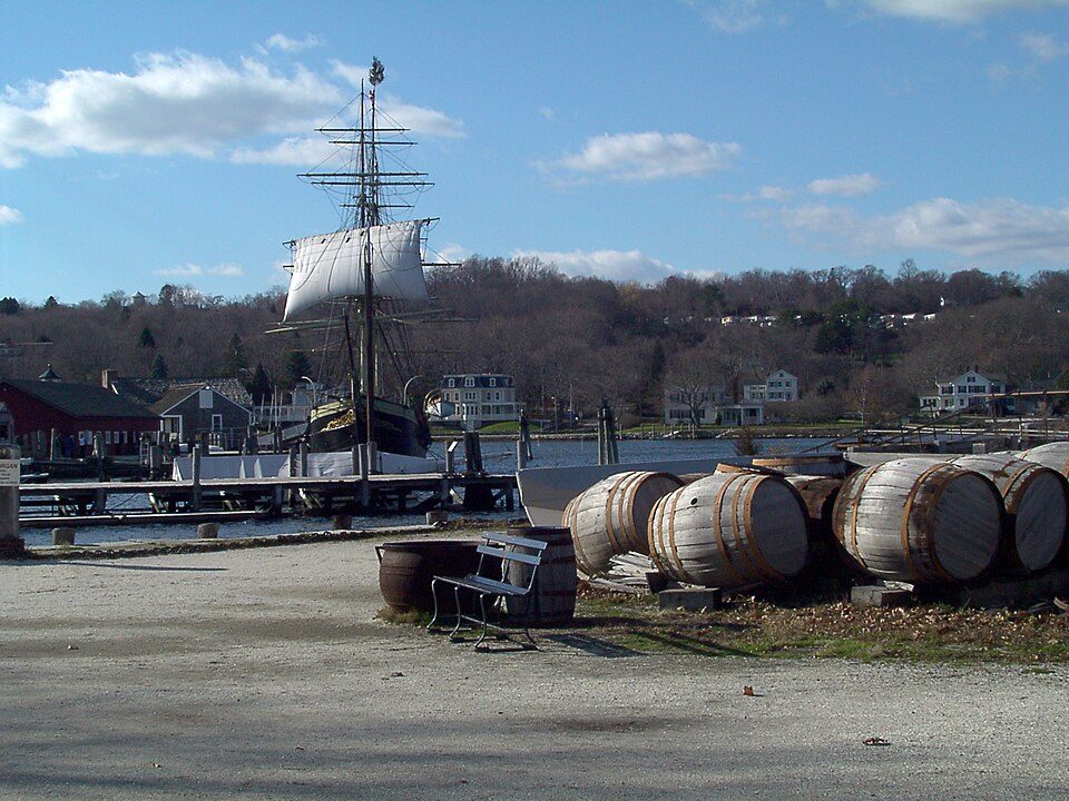
The Breakers: UpstateNYer, CC BY-SA 3.0 · Mohegan Sun Arena: Bbjeter, CC BY-SA 3.0 · Marble House: [email protected], Public domain · The Elms: The original uploader was Daderot at English Wikipedia., CC BY-SA 3.0 · Mystic Seaport: Joethon, Public domain · Camp Hero State Park: Transpoman, CC BY-SA 3.0

Getting set up

Moving to Fishers Island: who provides what

Fishers Island is unincorporated, so Suffolk County and regional agencies provide most services.

PowerPSEG Long Island26.2¢/kWh · EIA 2025HIFLD · EIA
Internet3 providers77% of addresses get 100/20 MbpsFCC
Trash & county servicesSuffolk CountySuffolk County provides services here
SchoolsFishers Island Union Free School DistrictWhich school depends on your addressNCES
Register to voteOnlineIn New York you can register online until 10 days before Election Day, in person until 10 days before Election Day, or by mail (postmarked 15 days before and received 10 days before).vote.gov
Who runs elections hereSuffolk County Board of ElectionsSuffolk County; contacts on the Handbook page.FVAP, Sep 2024
ZIP code0639006390 100%Census 2020

EPA SDWIS (Oct 9, 2026) · HIFLD + EIA-861 2025 · Census 2020 ZCTAs · NCES 2024–25 · registration: vote.gov, updated Aug 3, 2026.

The data

Ordered by what stands out in Fishers Island.

Work & commute

About one in three of Fishers Island’s working residents commute to Southold

Just 6% of Fishers Island’s working residents have a job in town. The top destinations are Southold (37%), New York (22%) and Southampton (4%). Half the trips to work are shorter than 46 miles.

6%work in town

Where working residents work

In Fishers Island6%
Southold37%
New York22%
Southampton4%
Brookhaven3%
46 mi
median commute distance
247
jobs based in Fishers Island
A job hub
jobs vs. working residents

Census LEHD 2024 · ACS

Natural hazards

Fishers Island stands out in New York and nationally, with the FEMA risk score lower than most

Expected losses in Fishers Island break down as 49% from inland flooding and 21% from hurricanes.

2risk score of 100
FEMA risk score
2Very low riskLowerHigher
Inland floodingHurricanesCoastal flooding

FEMA National Risk Index · OpenFEMA

Climate

Expect four seasons and pleasant summers in Fishers Island

Fishers Island’s midsummer high is recorded as 81°F.

25″snow a winter

Typical low → high °F

Winter26–41°
Spring40–56°
Summer62–79°
Fall47–64°
Nov 2
typical first frost
Apr 8
typical last frost
+2.1°
vs. the 20th-century average

NOAA U.S. Climate Normals, 1991–2020

Health

Compared with most of New York and the rest of the country, fewer of Fishers Island’s adults feel lonely

Of 32 CDC measures, Fishers Island beats the New York average on 17 and trails it on 2. 13% of adults say their health is fair or poor in Fishers Island. In Fishers Island, 16% of adults have been diagnosed with depression, and 7.8% smoke cigarettes.

Fishers IslandTypical New York townTypical U.S. town
Feel lonely (CDC PLACES)27%32%33%
Depression (CDC PLACES)16%21%23%
Smoke cigarettes (CDC PLACES)7.8%13%14%
Frequent mental distress (CDC PLACES)13%16%17%
32 measures vs. New York
17 better13 too close to call2 worse
What stands outFishers IslandNY
Fewer adults facing food insecurity7.4%17.2%
Fewer uninsured adults3.7%7.9%
More adults who have had cancer11%7.7%
Lawrence & Memorial Hospital
7.5 mi away · emergency room
None
primary care, dental or mental-health shortage

CDC PLACES 2025 · modeled estimates for adults · CMS · HRSA

1.7%
conserved · 54 of 3,159 acres
4.8 mi
of trails · 1.0 per sq mi

Trails & parks © OpenStreetMap contributors · Conserved land: USGS PAD-US

Housing

A home in Fishers Island sells for about $6M at the median

Fishers Island: 67% of households are owner-occupiers.

$6Mmedian sale price
0
homes sold in May

Census ACS, 2020–24 · Zillow Home Value Index · Redfin Data Center

Keep exploring

Everything we know about Fishers Island

16pages on Fishers Island
After high school

Colleges nearby

4 within 15 miles of the center of Fishers Island

Small town

72 people, and everyone knows the way

In a town this size, neighbors are the best guide. Ask them anything.

Nearby towns

About Fishers Island

Census-designated place in New York, United States

Fishers Island is an island within the town of Southold in Suffolk County, New York. It lies at the eastern end of Long Island Sound, 2 miles (3 km) off the southeastern coast of Connecticut, across Fishers Island Sound. About 9 miles (14 km) long and 1 mile (1.6 km) wide, it is about 11 miles (18 km) from the tip of Long Island at Orient Point, 2 miles (3 km) each from Napatree Point at the southwestern tip of Rhode Island and Groton Long Point in Connecticut, and about 7 miles (11 km) southeast of New London, Connecticut. It is accessible from New London by plane and regular ferry service. The island is a census-designated place (CDP). As of the 2020 census, Fishers Island had a populatio…

From Wikipedia, licensed CC BY-SA 4.0 · facts via Wikidata (CC0)

Area
4.2 sq mi
Elevation
16 ft
ZIP code
06390

Questions about Fishers Island

Short answers, built from the data on this page.

Is Fishers Island, NY a good place to live?

Fishers Island has fewer than 1,000 residents, too few for fair grades; the figures below are still real.