Passages that mention Clifton, cut from the printed page as they were published.
The descent of the family of Deacon of Elstowe and London, with some genealogical, biographical and topographical notes, and sketches of allied families including Reynes of Clifton, and Meres of Kirton1898Read the page →
Read the text
Richard de Borard, the eldest son, became Lord of Clifton, Okeley and Stratherne on the death of his father. The church of Clifton, dedicated to the Virgin Mary, was founded by the family of Borard soon after the Conquest, and the right of presentation continued ever afterwards in the successive Lords of the Manor. In the exercise of this right Richard de Borard presented his brother Asceline, who was in holy orders, to the church of Clifton in
Text read by machine from the scan; it may contain errors.
The descent of the family of Deacon of Elstowe and London, with some genealogical, biographical and topographical notes, and sketches of allied families including Reynes of Clifton, and Meres of Kirton1898Read the page →
Read the text
The Manor of Clifton, Co. Bucks, passed to the familj' of Reynes in 1275 by the marriage of the only daughter and heir, Joan Borard of Clifton, to Thomas Reynes, and from this the place took its distinguishing appellation of Clifton Reynes.
Text read by machine from the scan; it may contain errors.
Scans and text from the Internet Archive. Books published in 1930 or earlier, which are in the public domain.
Timeline
Clifton, 1890 to 1942
Woven from the archive, old maps, post office records, the National Register and the people born here.
Founding dates: Wikidata, Wikipedia, the U.S. post office records of Blevins & Helbock (CC0) and the Census. Homes by year built: Census ACS 2020–24. National Register of Historic Places: National Park Service (list of May 22, 2026). Old photos, postcards and papers: Wikimedia Commons, the Library of Congress and other public archives, credited on each item’s page. Maps: U.S. Geological Survey historical topographic maps (via Esri) and Sanborn fire-insurance maps (Library of Congress). History text and census tables: Wikipedia (CC BY-SA 4.0). Places that used to be: USGS Geographic Names Information System (2021). How TownRatings grades history →
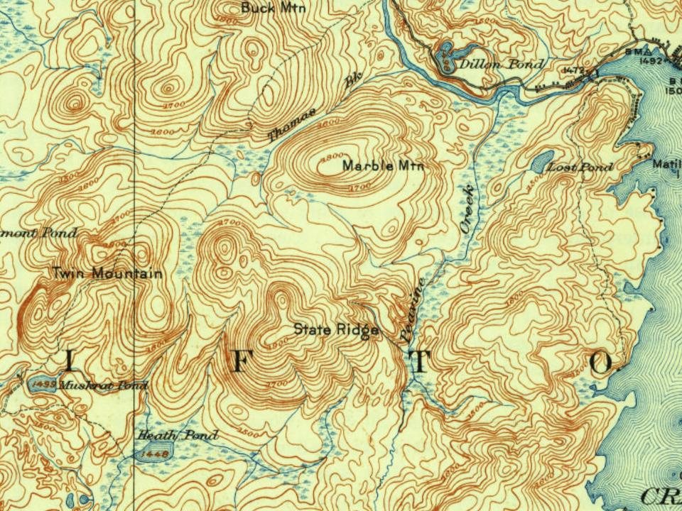
From Wikipedia, U.S. Geological Survey historical maps, U.S. Census counts (via Wikipedia), the US Post Offices dataset (Blevins & Helbock), the USGS Geographic Names Information System and old county and town histories (Internet Archive). Archive images are copied here with their credits and licenses, shown on each photo’s page. Refreshed monthly.