On its age, its old homes and the National Register, Clay is more historic than 10% of U.S. towns, #746 of 758 in New York. Its share of homes from before 1940 holds the grade up; its National Register listings pull it down.
D
HistoryA character grade: shown, never part of Clay’s overall grade.
New York towns list more on the Register than most of the country (a typical New York town has 12.3 per 10,000 residents, the U.S. 2.4), so Clay’s 0.0 sits below most of its state (10% of New York towns have fewer) while its 0 listings outnumber those of 23% of U.S. towns.
How sure. Graded on two of the three inputs, so a change in either one moves the letter more than it would with three. The pre-1940 share (±0.8 points) is firm at this size.
Founding year: our sources. Homes: Census ACS 2020–24. National Register: National Park Service, May 2026 list; each listing counted once (boundary changes and added documentation belong to their listing), and a historic district counts its contributing buildings. How TownRatings grades history →
What stands out about Clay’s past
Read from the archive, the National Register and the record. The page puts what stands out first.
Prior to European settlement in the area, Clay was inhabited by the Onondaga Nation, part of the Iroquois Confederacy, some of whose descendants still live in the area today. Clay was within the Central New York Military Tract. The town was once known as West Cicero and was founded by strangers about 1791. The Town of Clay was formed in 1827 from the Town of Cicero, one of the original townships of the military tract.
In October 2022, Micron Technology pledged $100 Billion for a giant semiconductor complex in the White Pine Commerce Park located in Clay.
Passages that mention Clay, cut from the printed page as they were published.
History of Clay County, Iowa, from its earliest settlement to 19091909 · page 79Read the page →
Read the text
This township is the remainder of the county, which was declared and designated by Judge C. C. Smeltzer as the civil township of Clay. All of the other townships, fifteen in number, were set off from the original Clay township, which leaves the present Clay township in No. 95, range 38. This is one of the creditable townships of the county and its citizens' prosperity will compare favorablv with that of those of any other township in the county. It is made up of an industrious, frugal and enterprising class of men and women, and the farms show a high state of cultivation. The homes are comfortable and many
Text read by machine from the scan; it may contain errors.
History of Clay County, Iowa, from its earliest settlement to 19091909 · page 86Read the page →
Read the text
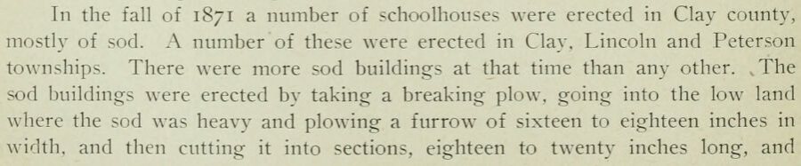
In the fall of 1871 a number of schoolhouses were erected in Clay coimty, mostly of sod. A number of these were erected in Clay. Lincoln and Peterson townships. There were more sod buildings at that time than any other. .The sod buildings were erected by taking a breaking plow, going into the low land where the sod was heavy and plowing a furrow of sixteen to eighteen inches in width, and then cutting it into sections, eighteen to twenty inches long, and
Text read by machine from the scan; it may contain errors.
History of Clay and Norman counties, Minnesota1918Read the page →
Read the text
L Hammerud was six years old when his parents brought him to the L'nited States. He grew to manhood in Becker county, Minnesota, and assisted his father with the work on the home farm. During the winter months, he attended the district schools of Clay county, since the nearest school house was in Clay county. Later he attended Concordia College at Moorhead, this county. He continued farming until about 1902, when he came to Comstock. Clay county, and conducted a pool hall for about twelve }ears with success. In August, 1916, he became manager of the J-'armers'
Text read by machine from the scan; it may contain errors.
History of Clay and Norman counties, Minnesota1918Read the page →
Read the text
John O. Hillestad spent his boyhood in Norway where he attended school. He came to Minnesota in 1879 and located in Fillmore county, where he remained four years, working as a farm laborer. He came to Clay county in 1883, driving up here with three horses and a buggy. He continued to work out on farms until 1887, when he moved on his present farm, in Cromwell township, as a "squatter," later buying the land from the railroad, when it was placed on the market. He worked hard improving the place, built a house and outbuildings and by perseverance and good man-
Text read by machine from the scan; it may contain errors.
Scans and text from the Internet Archive. Books published in 1930 or earlier, which are in the public domain.
Timeline
Clay, 1820 to 2020
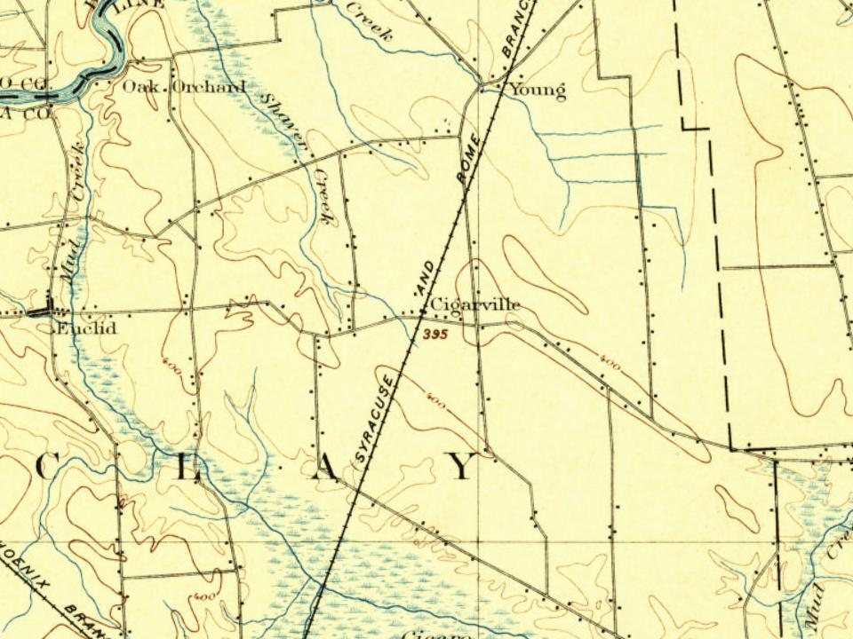
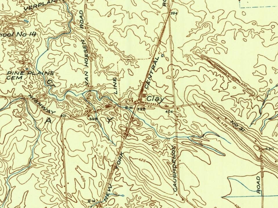
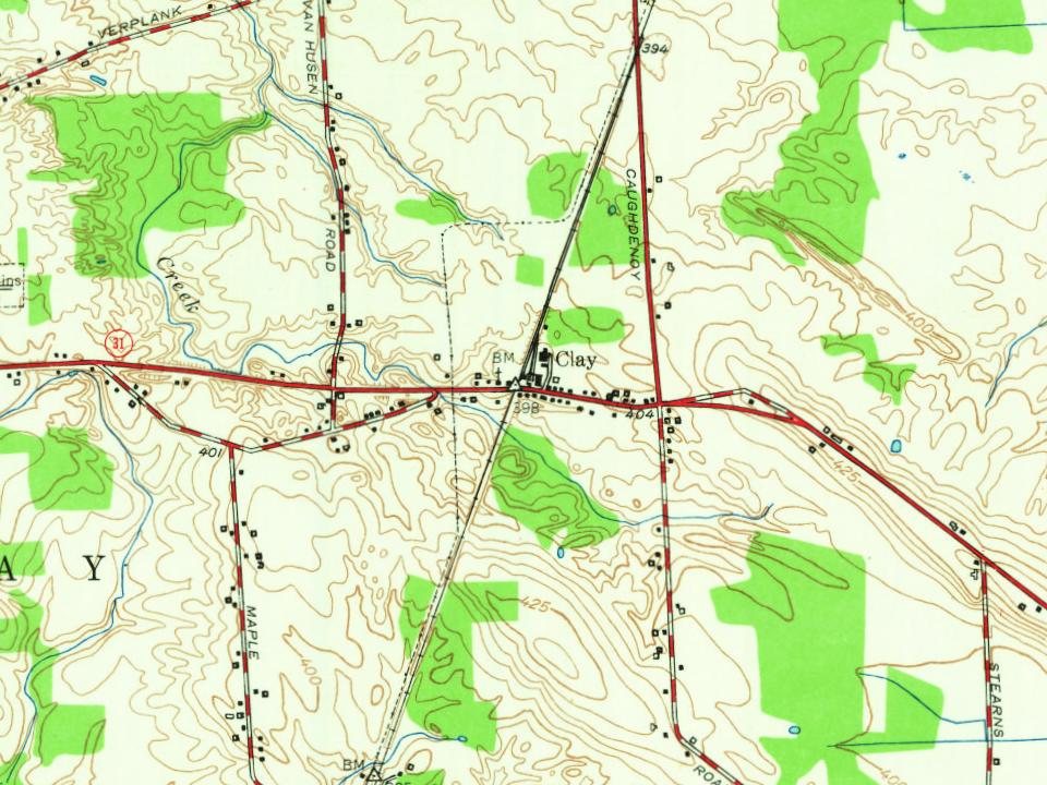
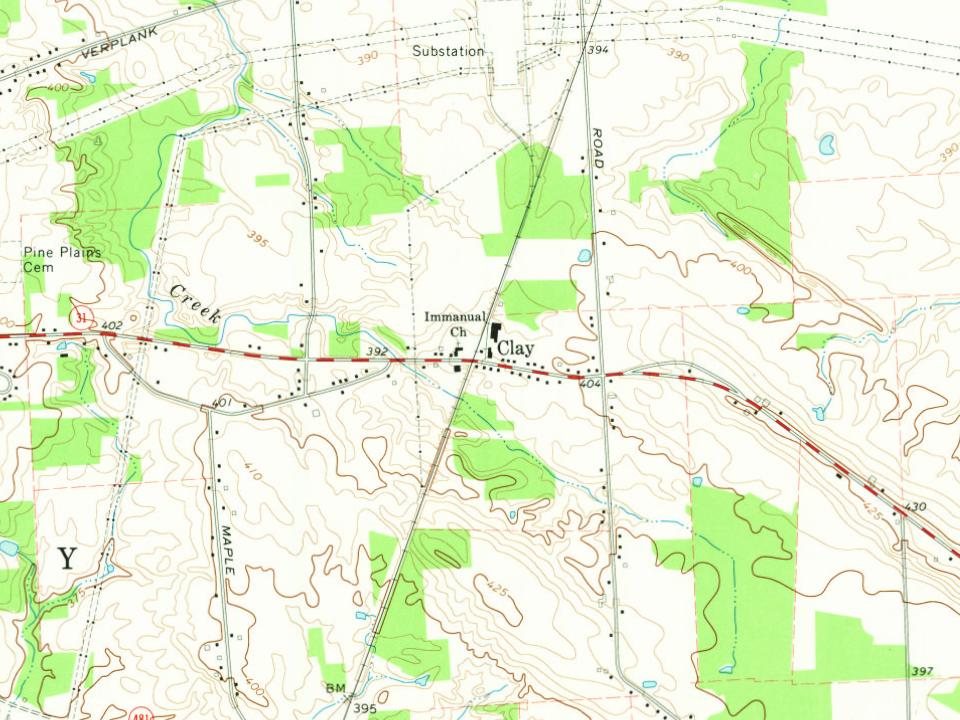
Woven from the archive, old maps, post office records, the National Register and the people born here.
Clay is more historic than 10% of U.S. towns, #746 of 758 in New York. The History grade combines the town’s founding era, the share of homes built before 1940 and its National Register listings. It’s a character grade, so it isn’t part of the overall grade. How it works.
How old are the homes in Clay?
3% of Clay’s homes were built before 1940 (Census estimate), against a typical 27% for a New York town; the median home was built in 1978.
Founding dates: Wikidata, Wikipedia, the U.S. post office records of Blevins & Helbock (CC0) and the Census. Homes by year built: Census ACS 2020–24. National Register of Historic Places: National Park Service (list of May 22, 2026). Old photos, postcards and papers: Wikimedia Commons, the Library of Congress and other public archives, credited on each item’s page. Maps: U.S. Geological Survey historical topographic maps (via Esri) and Sanborn fire-insurance maps (Library of Congress). History text and census tables: Wikipedia (CC BY-SA 4.0). Places that used to be: USGS Geographic Names Information System (2021).
From Wikimedia Commons (6), Wikipedia, Wikidata and Wikipedia for famous people, U.S. Geological Survey historical maps, U.S. Census counts (via Wikipedia), the US Post Offices dataset (Blevins & Helbock), the USGS Geographic Names Information System and old county and town histories (Internet Archive). Archive images are copied here with their credits and licenses, shown on each photo’s page. Refreshed monthly.





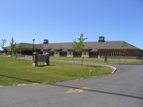 2006
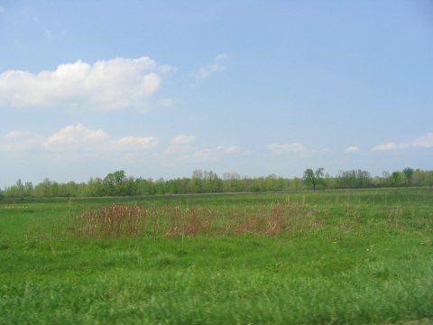 2006
 2006
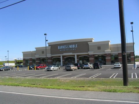 2006
 2004
 2004