127 years in pictures
Census counts: 110 in 1920, a peak of 2,650 in 1980, 1,866 in 2020. The archive holds 9 old photos and papers going back to 1900 and 8 maps from 1888 on.
- 1899Sea Girt is settled
Each edition grades its towns against each other only.

Public schools that outperform most of New Jersey. The town was settled in 1899 and has 1,874 residents today.
Sea Girt’s best subject grades are an A+ for schools, health, and incomes; its weakest is a D for cost of living. 77% of adults 25 and older hold a bachelor’s degree or more in Sea Girt, where New Jersey’s towns sit at 45% and U.S. towns at 29%. On incomes, just 14 of New Jersey’s 530 towns do better. Sea Girt is more walkable than 92% of U.S. towns. Sea Girt's civic life (library use, community groups, volunteering) is stronger than in 85% of U.S. towns. Sea Girt has fewer than 2,500 residents, so it gets subject grades but no overall grade.
Where Sea Girt beats most towns.
| School | Grades | Students |
|---|---|---|
| Sea Girt Elementary School | PK–8 | 148 |
| Widest gap | Sea Girt | NJ |
|---|---|---|
| Fewer adults facing food insecurity | 3.9% | 14.3% |
Each subject compared with towns across the country (schools within New Jersey), ordered by how far Sea Girt is from typical.
How TownRatings grades towns →
Census counts: 110 in 1920, a peak of 2,650 in 1980, 1,866 in 2020. The archive holds 9 old photos and papers going back to 1900 and 8 maps from 1888 on.
Museums, parks, gardens and other places to visit around Sea Girt. Close and well known come first.
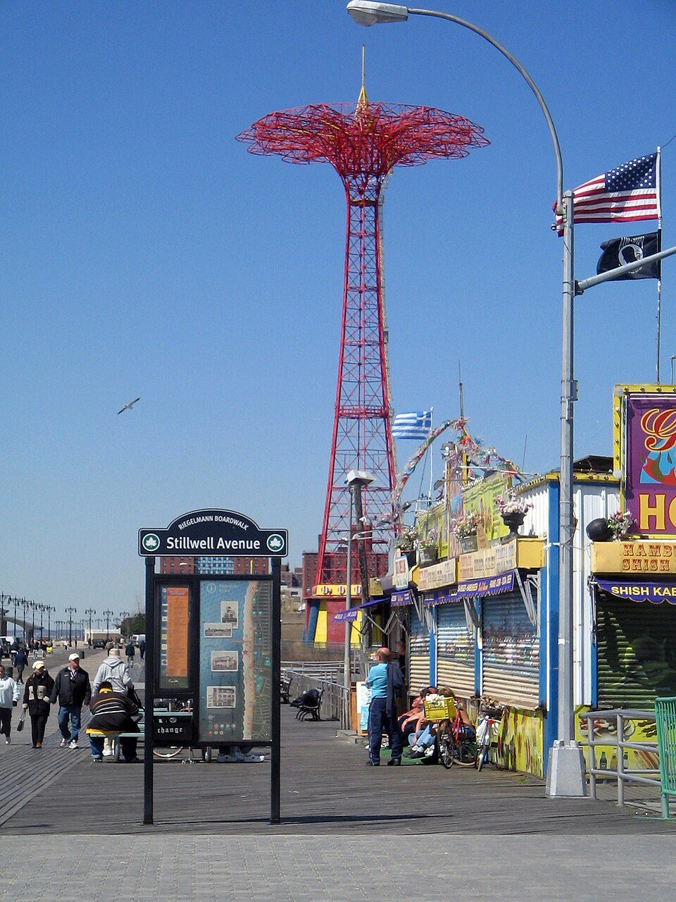
Big draw31 mi BeachConey Island
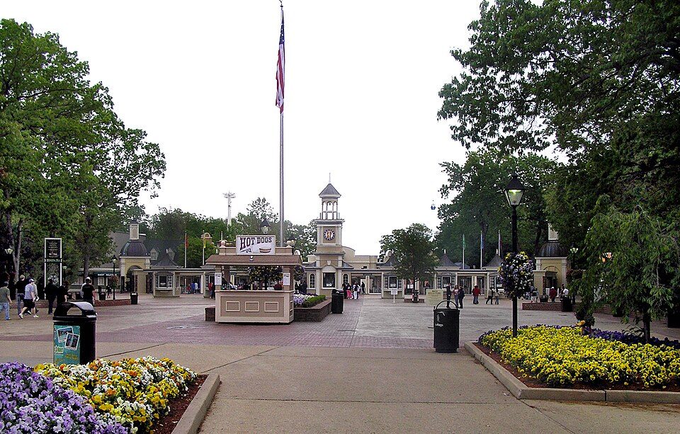
Big draw22 mi Theme parkSix Flags Great Adventure2.2M visitors a year
Big draw38 mi Stadium & arenaBarclays Center
40 mi City parkThe Battery
32 mi LandmarkVanderbilt Family Cemetery and Mausoleum
37 mi City parkProspect ParkConey Island: OptimumPx, Public domain · Six Flags Great Adventure: Unknown, CC BY-SA 2.5 · Barclays Center: Ajay Suresh from New York, NY, USA, CC BY 2.0 · The Battery: Gryffindor, CC BY-SA 3.0 · Vanderbilt Family Cemetery and Mausoleum: Vanderbilt_Mausoleum.jpg: Staten Island post cards / Bridges derivative work: Jb, Public domain · Prospect Park: Unknown, CC BY-SA 3.0
Who provides power, water and the rest in Sea Girt, and how to reach them.
EPA SDWIS (Oct 9, 2026) · HIFLD + EIA-861 2025 · Census 2020 ZCTAs · NCES 2024–25 · registration: vote.gov, updated Nov 18, 2024.
Ordered by what stands out in Sea Girt.
Values rose 20% in the 12 months to September 2026. In Sea Girt, the midpoint rent is $3,455 a month. For households in the town, the share who live in a home they own is 87%.
| Sea Girt | New Jersey towns | U.S. towns | |
|---|---|---|---|
| Median rent | $3,455 a month | $1,778 a month | $1,185 a month |
| Households that own their home | 87% | 77% | 73% |
Census ACS, 2020–24 · Zillow Home Value Index · Redfin Data Center
Its one school is below. Public schools: the Sea Girt Borough School District. Enrollment at the town’s public school: 148 students.
| School | Level | Students | Letter |
|---|---|---|---|
| Sea Girt Elementary SchoolLargest public elementary schoolGrades PK–8 | Grades PK–8 | 148 | A+ |
NCES · EDFacts · graded within NJ on state tests
In Sea Girt, 83% of adults had a checkup this year. Among 469 New Jersey towns, just one has a lower share of adults who feel lonely than Sea Girt. Of 32 CDC measures, Sea Girt beats the New Jersey average on 21 and trails it on 3.
| Sea Girt | New Jersey towns | U.S. towns | |
|---|---|---|---|
| Frequent mental distress (CDC PLACES) | 11% | 15% | 17% |
| Feel lonely (CDC PLACES) | 24% | 32% | 33% |
| Sleep under 7 hours (CDC PLACES) | 27% | 36% | 36% |
| Depression (CDC PLACES) | 13% | 16% | 23% |
| What stands out | Sea Girt | NJ |
|---|---|---|
| Fewer adults facing food insecurity | 3.9% | 14.3% |
| Fewer adults facing housing insecurity | 3.8% | 12.3% |
| More adults who have had cancer | 12.9% | 7.5% |
CDC PLACES 2025 · modeled estimates for adults · CMS · HRSA
No violent crime was reported locally. Sea Girt’s property offense rate comes in at 2.7 per 1,000 residents.
| Sea Girt | New Jersey towns | U.S. towns | |
|---|---|---|---|
| Property crimes per 1,000 (2025) | 2.7 per 1,000 residents | 7.5 | 9.9 |
| Violent crimes per 1,000 (2025) | 0 per 1,000 residents | 0.7 | 1.6 |
FBI crime data, 2025 · crimes reported to police
July afternoons reach 85° and January nights drop to 26°.
NOAA U.S. Climate Normals, 1991–2020
Jobs in Sea Girt fell by 229 from 2013 to 2023, to 537. Only 4% of working residents stay in Sea Girt for work; the rest commute out. In Sea Girt, the median household income is $214,000. Half the trips to work are shorter than 31 miles.
| Sea Girt | New Jersey towns | U.S. towns | |
|---|---|---|---|
| Median household income | $214,000 | $113,000 | $80,000 |
| Below the poverty line | 3.3% | 6.1% | 9.6% |
| Average trip to work | 28 minutes | 30 minutes | 25 minutes |
| Working residents who work in town | 3.8% | 6.3% | 8% |
Census LEHD 2023 · ACS
Count the trails in 3 parks and preserves and they come to 0.2 miles. Sea Girt’s trail network density stands at 0.1 miles per square mile.
| Sea Girt | New Jersey towns | U.S. towns | |
|---|---|---|---|
| Miles of trail per square mile | 0.1 miles per square mile | 0.7 | 0.4 |
| Conserved land | 3.1% | 11% | 4.3% |
| Biggest places to walk | Trails | Acres |
|---|---|---|
| 1. Crescent Park | — | 15 |
| 2. Edgemere Park | — | 6 |
| 3. Baltimore Park | — | 2 |
Trails & parks © OpenStreetMap contributors · Conserved land: USGS PAD-US
Federal aid has come to Sea Girt households in 5 declared disasters; the latest was in 2020. On expected storm and flood damage, Sea Girt sits above 53% of U.S. communities. Flood insurance has paid out on 79 claims in the town since 1978. Expected losses in Sea Girt break down as 41% from inland flooding and 38% from strong winds.
FEMA disaster declarations and aid · FEMA flood insurance claims · FEMA National Risk Index · OpenFEMA
23 within 15 miles of the center of Sea Girt
About 9 of every 100 Sea Girt residents are enrolled in college, against 6 across New Jersey.
Borough in Monmouth County, New Jersey
Sea Girt is a borough situated on the Jersey Shore, within Monmouth County, in the U.S. state of New Jersey. As of the 2020 United States census, the borough's population was 1,866, an increase of 38 (+2.1%) from the 2010 census count of 1,828, which in turn had reflected a decline of 320 (−14.9%) from the 2,148 counted in the 2000 census. In the Forbes magazine 2012 rankings of "America's Most Expensive ZIP Codes", the borough was ranked 197th, with a median price of $1,135,184.
From Wikipedia, licensed CC BY-SA 4.0 · facts via Wikidata (CC0)
4 towns share a border with Sea Girt.
| Town | NJ rank | Overall | Cost | Safety | Schools | Health |
|---|---|---|---|---|---|---|
| Sea Girt | — | — | D | A | A+ | A+ |
| Manasquan | #143 | A− | D− | B+ | B+ | A+ |
| Spring Lake | #61 | A | D− | B | A+ | A+ |
| Spring Lake Heights | #56 | A | D− | A+ | B+ | A+ |
| Wall Township | #198 | B+ | D | B | B | A |
Sea Girt has fewer than 2,500 residents, so it gets subject grades but no overall grade. Compare Sea Girt with a neighbor →
Short answers, built from the data on this page.
Public schools that outperform most of New Jersey.
Yes. The public schools Sea Girt children attend outperform 100% of New Jersey districts on state tests and graduation, an A+ School Grade.
Yes. That is 26.3 years of the area's median household income ($99,155 across the New York-Newark-Jersey City, NY-NJ metro area). Cost of living, which also weighs rents, property taxes and how many households pay 30% or more of their income for housing, grades D.