More historic than 98% of U.S. towns · #19 of 468 in New Jersey. What drives it
4 places in town are on the National Register, among them a historic district with 49 buildings. Below: 10 old photos and papers, maps from 1890 on, and the census since 1860.
On its age, its old homes and the National Register, Newton is more historic than 98% of U.S. towns, #19 of 468 in New Jersey. All 2 inputs are above most U.S. towns; its share of homes from before 1940 ranks highest and its National Register listings lowest.
A+
HistoryA character grade: shown, never part of Newton’s overall grade.
New Jersey towns list more on the Register than most of the country (a typical New Jersey town has 3.7 per 10,000 residents, the U.S. 2.4), so Newton’s 64.5 sits above most of its state (83% of New Jersey towns have fewer) while its 54 historic buildings outnumber those of 85% of U.S. towns.
How sure. Graded on two of the three inputs, so a change in either one moves the letter more than it would with three. The pre-1940 share is a Census survey estimate (±5.9 points).
Founding year: our sources. Homes: Census ACS 2020–24. National Register: National Park Service, May 2026 list; each listing counted once (boundary changes and added documentation belong to their listing), and a historic district counts its contributing buildings. How TownRatings grades history →
What stands out about Newton’s past
Read from the archive, the National Register and the record. The page puts what stands out first.
National Park Service, National Register of Historic Places. Photos from Wikimedia Commons, credited on each place’s page.
Every building
Newton, building by building, 1890–1916
Fire insurance maps drew every building, what it was made of and what it was used for, so insurers could price the risk of fire. Pick a year, then a sheet.
Newton is located near the headwaters of the east branch of the Paulins Kill, a 41.6-mile (66.9 km) tributary of the Delaware River. In October 1715, Colonial surveyor Samuel Green plotted a tract of 2,500 acres (1,000 ha) at the head of the Paulins Kill, then known as the Tohokenetcunck River, on behalf of William Penn. This tract, which would not be settled for approximately 30–35 years, was part of the survey and division of the last acquisition of Native American land by the West Jersey Board of Proprietors. At the time of Green's survey, northwestern New Jersey was populated with bands of the Munsee, the northern branch of the Lenape Native Americans.
Passages that mention Newton, cut from the printed page as they were published.
Sketches of the first emigrant settlers in Newton Township, old Gloucester County, West New Jersey1877 · page 33Read the page →
Read the text
thereunto attached. In this paper he has again shown his odd style of description. It reads thus : "As they shall see convenient to lay out from the tra<5l of land settled by John Estaugh, lying in ye township of Newton, any where on ye north side of ye road yt leads out of ye King's road to Newton, as far from ye west corner of John Gill's fence as where ye said road intersects the same."
Text read by machine from the scan; it may contain errors.
Sketches of the first emigrant settlers in Newton Township, old Gloucester County, West New Jersey1877 · page 170Read the page →
Read the text
minute book of the Friends' Meetings in this sedlion, has made the following extra6l therefrom: "The Monthly Meeting of Gloucester from the year 1695, was held alternately at Newton and at the house of Thomas Shackle, until the twelfth month, 1721, at which time it was held at the meeting house at Haddonfield, which was built in the fore part of that year, on ground given by John Estaugh, for the accommodation of the Monthly and Quarterly Meetings.
Text read by machine from the scan; it may contain errors.
Mrs. John Johnson, of Newton. She was the third wife of Mr. Johnson and previously the widow of the the 13th Company of the same Regiment, Col. John Steward commanding. In 1783 he was collector of the township of Newton, Sussex Co. He was one of the founders of the Presbyterian church at Newton, N. J., and an elder of the church from its organization until his death. He died at Frankford, Sussex Co., Jan. 5, 1826, and is buried in the old graveyard at Newton, His wife, Susannah
Text read by machine from the scan; it may contain errors.
History of the Newton families of colonial America, with American history of family interest not obtainable elsewhere1927Read the page →
Read the text
resent our family in Christian names so closely that I have concluded the family was more probably allied with that one in the north part of Lancashire. perhaps Whettington parish or one adjacent. In Domesday Survey mention is made of Neutona (Newton) a; being held by Earl Tostey, and the Newtons of Whettington evidently obtainod their sur name from this manor. I have the will of William Newton of Whe:- tington, dated August 12, 1554, which mentions a Brvan Newton and sonne Thomas Newton. Later wills and inquisitions contain these sig-
Text read by machine from the scan; it may contain errors.
Scans and text from the Internet Archive. Books published in 1930 or earlier, which are in the public domain.
Timeline
Newton, 1785 to 1964
Woven from the archive, old maps, post office records, the National Register and the people born here.
Nothing in the archives for these yearsWeddings on Main Street, storms, parades, school pictures, the old store. If it’s in your family album, it belongs here.
Newton is more historic than 98% of U.S. towns, #19 of 468 in New Jersey. The History grade combines the town’s founding era, the share of homes built before 1940 and its National Register listings. It’s a character grade, so it isn’t part of the overall grade. How it works.
What is on the National Register in Newton?
4 listings: 3 buildings, among them the Henry W. Merriam House (listed 1970, the first), and 1 historic district, the Newton Town Plot Historic District, with 49 contributing buildings. 54 historic buildings in all.
How old are the homes in Newton?
37% of Newton’s homes were built before 1940 (Census estimate, ±5.9 points), against a typical 15% for a New Jersey town; the median home was built in 1962.
Founding dates: Wikidata, Wikipedia, the U.S. post office records of Blevins & Helbock (CC0) and the Census. Homes by year built: Census ACS 2020–24. National Register of Historic Places: National Park Service (list of May 22, 2026). Old photos, postcards and papers: Wikimedia Commons, the Library of Congress and other public archives, credited on each item’s page. Maps: U.S. Geological Survey historical topographic maps (via Esri) and Sanborn fire-insurance maps (Library of Congress). History text and census tables: Wikipedia (CC BY-SA 4.0). Places that used to be: USGS Geographic Names Information System (2021).
From Wikimedia Commons (6), the Library of Congress (4), Wikidata (2), the National Register of Historic Places (4), Wikipedia, Wikidata and Wikipedia for famous people, U.S. Geological Survey historical maps, U.S. Census counts (via Wikipedia), the US Post Offices dataset (Blevins & Helbock), the USGS Geographic Names Information System, Sanborn fire insurance maps (Library of Congress) and old county and town histories (Internet Archive). Archive images are copied here with their credits and licenses, shown on each photo’s page. Refreshed monthly.


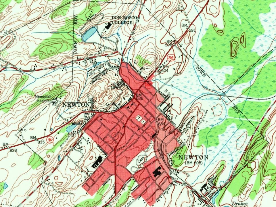
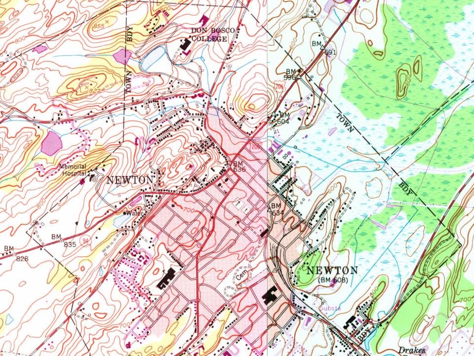


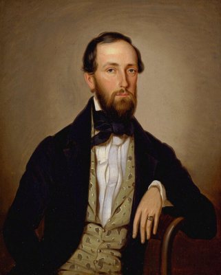
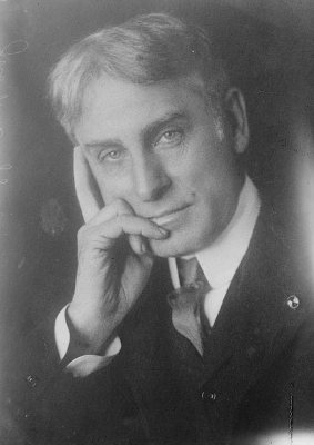


 1880
 1890
 1906
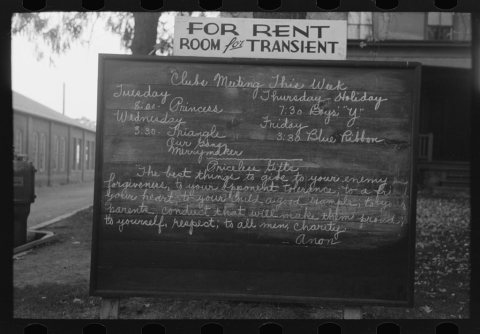 1939


