Nothing in the archives for these yearsWeddings on Main Street, storms, parades, school pictures, the old store. If it’s in your family album, it belongs here.
Warren was granted in 1763 by Governor Benning Wentworth, and incorporated in 1770 by Governor John Wentworth. The town takes its name from Admiral Sir Peter Warren. It was first settled in 1767 by Joseph Patch.
Warren had some ambitious men. Tristram Pillsbury went into the western army, John Abbott went away, joined some regiment and died while in the service.* Major Daniel Patch was a private and fought at the battle of Bridgewater, where he was wounded. But David Patch gained more distinction as a soldier than any other native of Warren. He enlisted in some other State, got a commission, fought in several battles, got promoted for bravery, and commanded a regiment as a colonel, at the battle of
Text read by machine from the scan; it may contain errors.
the flesh side out, the many-colored tails pendant presenting a gay and attractive appearance, Joseph Patch had seen, at Plymouth, the proprietors' committee, that came to Warren the previous spring, and he had heard them say that in all probability land in Warren would be given by the proprietors, either in the fall or the next spring, to any one who would settle upon it, and that the first settler would have his first choice of lots. He had lost what he had purchased at Ply-
Text read by machine from the scan; it may contain errors.
Scans and text from the Internet Archive. Books published in 1930 or earlier, which are in the public domain.
On the map
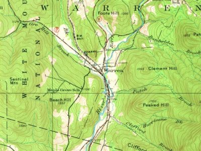
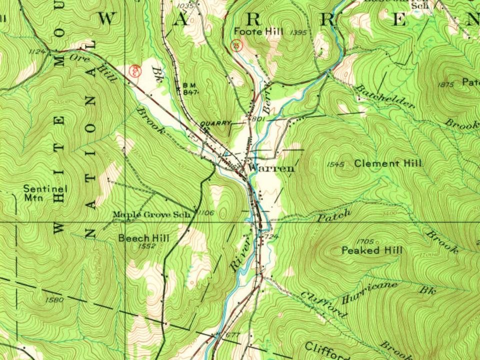
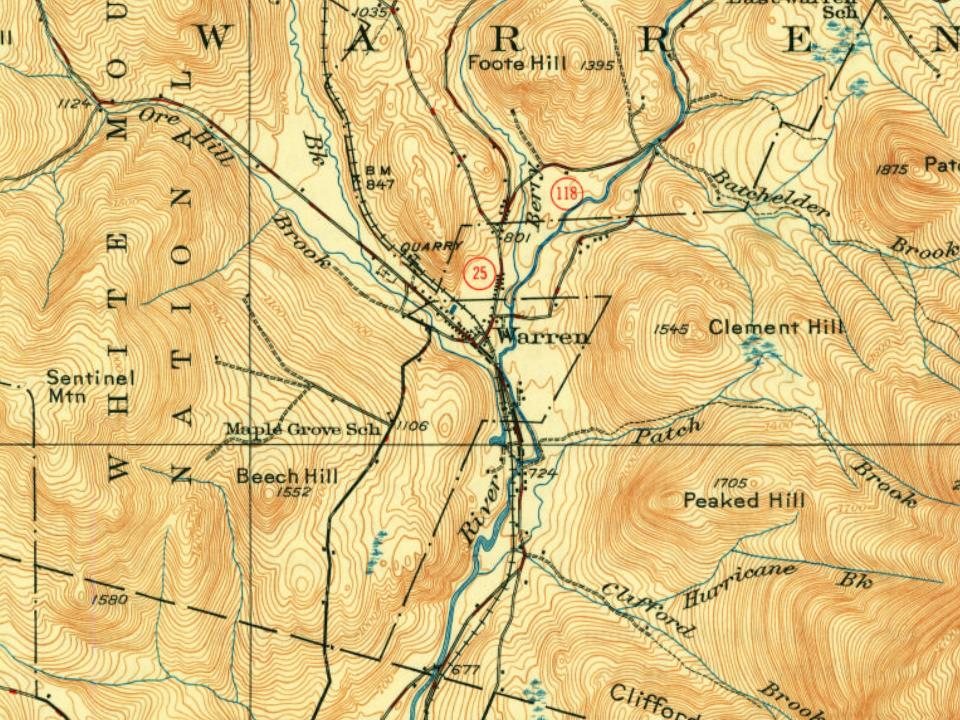
Warren on the map, 1928 to 1995
Every edition of the U.S. Geological Survey’s map of Warren. Tap a year, or press play to watch the town change.
1928Rumney sheet · 1:62,500
U.S. Geological Survey historical topographic maps (public domain), via Esri’s collection of the scans. The red ring marks the center of Warren.
Then & now
Stand where they stood
No then-and-now pairs yet. Take a photo from the same spot as an old one and they appear here side by side.
Retake this viewWarren, New Hampshire.Alternate Title: American scenery, c. 1869
Find the spot, match the angle, and add your photo. It becomes the first then-and-now pair on Warren’s page.
Founding dates: Wikidata, Wikipedia, the U.S. post office records of Blevins & Helbock (CC0) and the Census. Homes by year built: Census ACS 2020–24. National Register of Historic Places: National Park Service (list of May 22, 2026). Old photos, postcards and papers: Wikimedia Commons, the Library of Congress and other public archives, credited on each item’s page. Maps: U.S. Geological Survey historical topographic maps (via Esri) and Sanborn fire-insurance maps (Library of Congress). History text and census tables: Wikipedia (CC BY-SA 4.0). Places that used to be: USGS Geographic Names Information System (2021). How TownRatings grades history →
From Wikimedia Commons (2), the Library of Congress (28), Wikipedia, Wikidata and Wikipedia for famous people, U.S. Geological Survey historical maps, U.S. Census counts (via Wikipedia), the US Post Offices dataset (Blevins & Helbock), the USGS Geographic Names Information System and old county and town histories (Internet Archive). Archive images are copied here with their credits and licenses, shown on each photo’s page. Refreshed monthly.


 c. 1869
 c. 1912
 1912
 1912
 1912
 1912
 1912
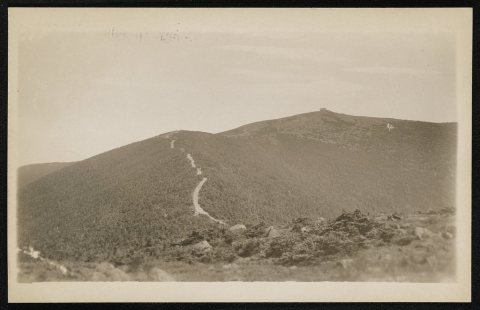 1912
 1912
 1939
 1939
 1939
 1939
 1939
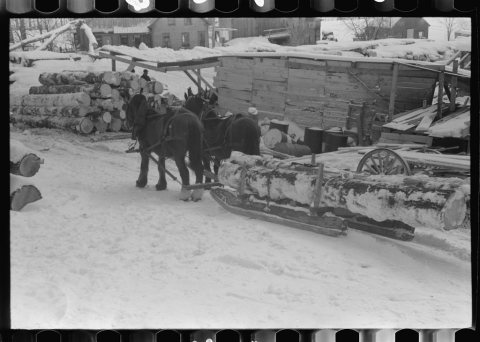 1939
 1939
 1939
 1939
 1939
 1939
 1939
 1939
 1939
 1940
 1940
 1940
 1940
 1940
 1940
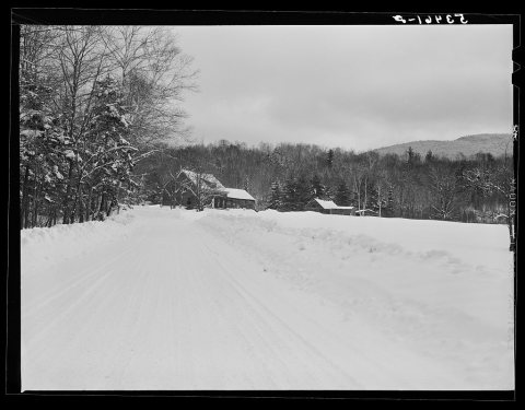 1940