231 years in pictures
Census counts: 26 in 1870, a low of 7 in 1960, 68 in 2020. The archive holds 12 old photos and papers going back to 1858 and 3 maps from 1895 on.
- 1795Hart's Location is incorporated
Each edition grades its towns against each other only.

Hart's Location’s typical July afternoon high is 73°F, below both the New Hampshire town median (81°F) and the median of U.S. towns (85°F). No town among the 127 in New Hampshire we compare has a higher age of the median resident than Hart's Location. 90% of the land in Hart's Location is conserved, where New Hampshire’s towns sit at 18% and U.S. towns at 4.3%. Crawford Notch State Park, at 5,355 acres with 18.9 miles of trail, is the biggest park or preserve. Hart's Location has fewer than 1,000 residents, too few for fair grades; the figures below are still real.
Where Hart's Location beats most towns.
In a town this size, neighbors are the best guide. Ask them anything.
Census counts: 26 in 1870, a low of 7 in 1960, 68 in 2020. The archive holds 12 old photos and papers going back to 1858 and 3 maps from 1895 on.
Museums, parks, gardens and other places to visit around Hart's Location. Close and well known come first.
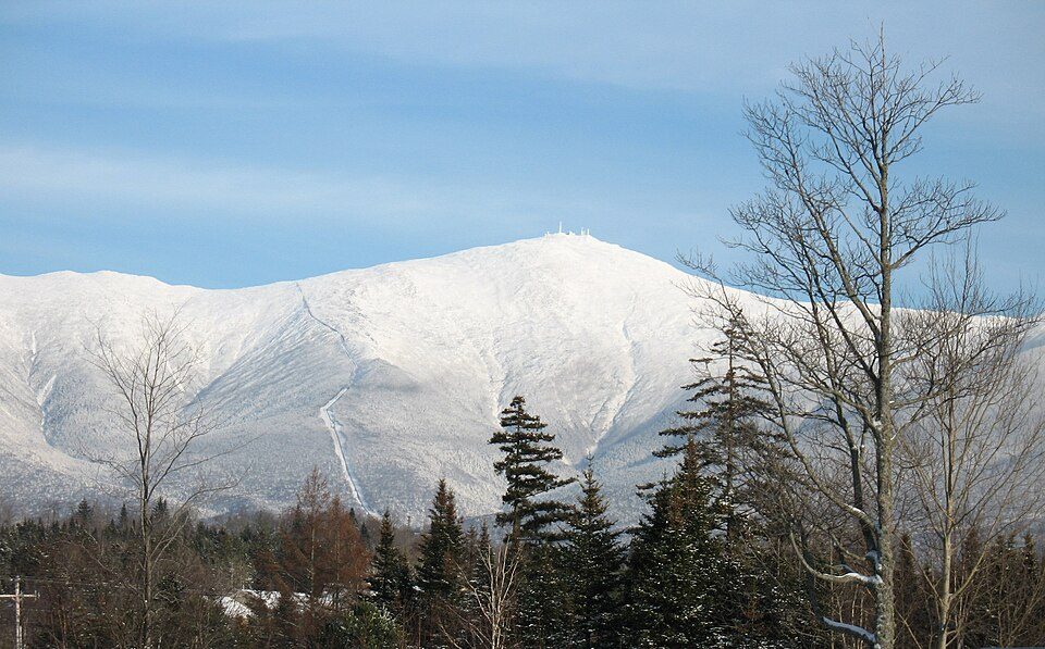
Big draw10 mi MountainMount Washington
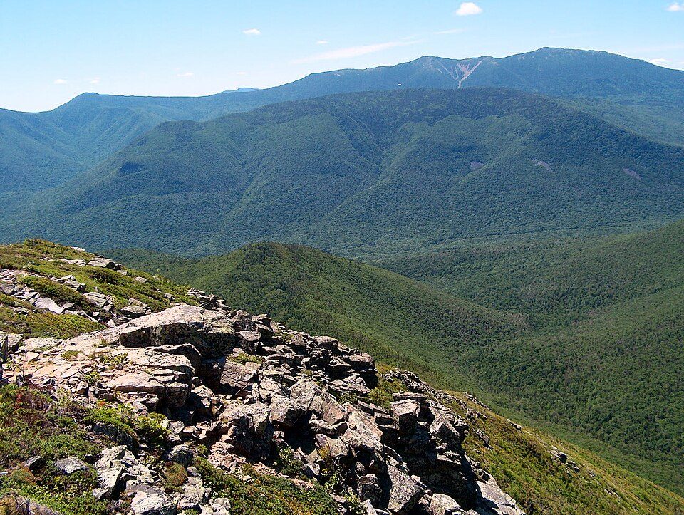
3 mi National forestWhite Mountain National Forest
38 mi LakeLake Winnipesaukee
in town LandmarkWilley House, New Hampshire
14 mi Scenic railwayConway Scenic Railroad
10 mi Theme parkStory LandMount Washington: wwoods, CC BY-SA 3.0 · White Mountain National Forest: Ken Gallager at English Wikipedia, Public domain · Lake Winnipesaukee: No machine-readable author provided. JohnJHenderson~commonswiki assumed (based o, Public domain · Willey House, New Hampshire: alans1948, CC BY 2.0 · Conway Scenic Railroad: Pi.1415926535, CC BY-SA 3.0 · Story Land: AnotherMaker, CC BY-SA 4.0
Who provides power, water and the rest in Hart's Location, and how to reach them.
EPA SDWIS (Oct 9, 2026) · HIFLD + EIA-861 2025 · Census 2020 ZCTAs · NCES 2024–25 · registration: vote.gov, updated Nov 19, 2024.
Ordered by what stands out in Hart's Location.
Trails run 29 miles in 2 parks and preserves. The trail network density in Hart's Location is 1.6 miles per square mile.
| Biggest places to walk | Trails | Acres |
|---|---|---|
| 1. Crawford Notch State Park | 18.9 mi | 5,355 |
| 2. Nancy Brook Research Natural Area | — | 204 |
Trails & parks © OpenStreetMap contributors · Conserved land: USGS PAD-US
In Hart's Location, the FEMA risk score is 84 of 100. Expected losses in Hart's Location break down as 86% from inland flooding and 7% from hurricanes. One flood insurance claim has been paid locally since 2011.
FEMA National Risk Index · OpenFEMA
NOAA U.S. Climate Normals, 1991–2020
Nearly one in ten adults worry about having enough food in Hart's Location. CDC measures, 32 in all: Hart's Location beats New Hampshire on 2 and trails on 5. Two figures for adults locally: 14% report frequent mental distress, 21% have been diagnosed with depression.
| Hart's Location | New Hampshire towns | U.S. towns | |
|---|---|---|---|
| Feel lonely (CDC PLACES) | 28% | 30% | 33% |
| Frequent mental distress (CDC PLACES) | 14% | 16% | 17% |
| Depression (CDC PLACES) | 21% | 23% | 23% |
| Get no exercise (CDC PLACES) | 19% | 20% | 25% |
| What stands out | Hart's Location | NH |
|---|---|---|
| More adults treating high blood pressure | 81% | 76.8% |
| More adults getting cholesterol checked | 90.5% | 88.3% |
| More older adults who have lost all their teeth | 13.3% | 8.9% |
CDC PLACES 2025 · modeled estimates for adults · CMS · HRSA
None within 15 miles of Hart's Location; the nearest are
About 0 of every 100 Hart's Location residents are enrolled in college, against 6 across New Hampshire.
Town in New Hampshire, United States
Hart's Location is a town in Carroll County, New Hampshire, United States. Since 1948, the town has frequently been one of the first places to declare its results for the New Hampshire presidential primary and U.S. presidential elections. The population was 68 at the 2020 census, and was also around 68 in 2025. It was incorporated in 1795. Hart's Location maintains a board of selectmen, but is otherwise dependent on the town of Bartlett and Carroll County for services. Home to Crawford Notch State Park, the town is crossed by the Appalachian Trail.
From Wikipedia, licensed CC BY-SA 4.0 · facts via Wikidata (CC0)
Short answers, built from the data on this page.
Hart's Location has fewer than 1,000 residents, too few for fair grades; the figures below are still real.