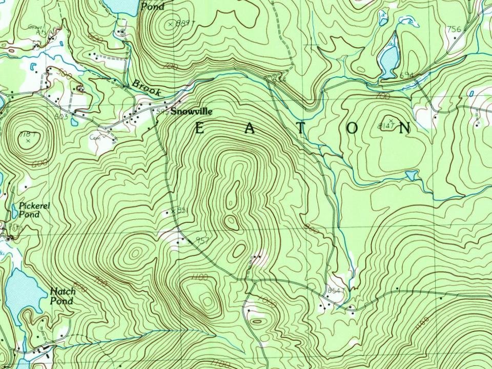
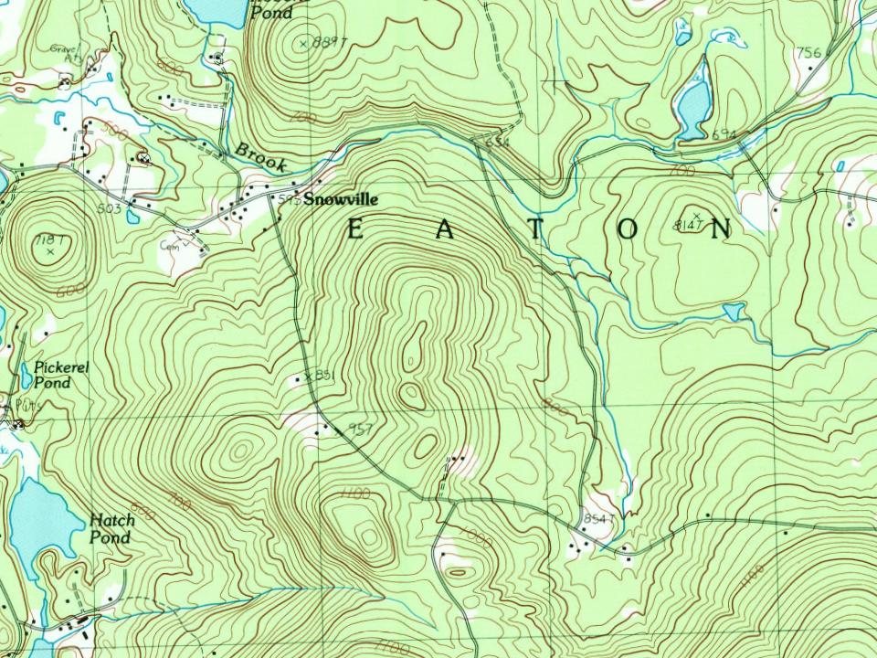
Eaton was incorporated in 1766 by colonial Governor Benning Wentworth, and named for Governor Theophilus Eaton of Connecticut, a generous contributor to the funds needed to settle Massachusetts in 1630. He later formed a colony at New Haven, Connecticut, along with Reverend John Davenport and David Yale, great-grandfather of Yale University's founder, Elihu Yale.
The "Little White Church" is a town landmark. The village of Snowville is named for the Snow family, who started a sawmill there in 1825. Waukeela, a summer camp for girls, has been in Eaton for 104 years as of 2026. It occupies 45 acres (180,000 m2) on Crystal Lake.
Passages that mention Eaton, cut from the printed page as they were published.
History of Carroll County, New Hampshire1889 · page 802Read the page →
Read the text
r lying westerly and southerly of a line commencing at the northwest corner of Samuel Stark's Location, so called, in the town of Conway in said county, being also the northeast corner of McNiel's Location, so called, in said town of Eaton, and thence running southerly by the westerly line of said Samuel Stark's Location to the southerly line of said Samuel Stark's Location one hundred and sixty rods to a stake and stones, thence running southerly over the summits of the Clines and Lyman mountains, so called, to the e line between lots Nos. 52 and 55 in the south division of lots in said
Text read by machine from the scan; it may contain errors.
History of Carroll County, New Hampshire1889 · page 782Read the page →
Read the text
to run west until the line so run west shall intersect a line run north from the northeasterly r of an additional -rant to the township of Sandwich, thence by sd last mentioned line to tlif addition of Sandwich afores'd and thence on to Tamworth, thence easterly by 1'auiworth to the northeast corner thereof, thence a strait line by the township of Eaton to the Dorthwesterly corner of a tract of land granted to officers late in His Majesty's service, thence by said officers' lands to the southwesterly corner of Conway to the bounds first mentioned. Walter Bryant was to call the first town meeting.
Text read by machine from the scan; it may contain errors.
Scans and text from the Internet Archive. Books published in 1930 or earlier, which are in the public domain.
Timeline
Eaton, 1760 to 1974
Woven from the archive, old maps, post office records, the National Register and the people born here.
Nothing in the archives for these yearsWeddings on Main Street, storms, parades, school pictures, the old store. If it’s in your family album, it belongs here.
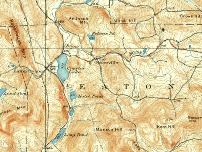
Founding dates: Wikidata, Wikipedia, the U.S. post office records of Blevins & Helbock (CC0) and the Census. Homes by year built: Census ACS 2020–24. National Register of Historic Places: National Park Service (list of May 22, 2026). Old photos, postcards and papers: Wikimedia Commons, the Library of Congress and other public archives, credited on each item’s page. Maps: U.S. Geological Survey historical topographic maps (via Esri) and Sanborn fire-insurance maps (Library of Congress). History text and census tables: Wikipedia (CC BY-SA 4.0). Places that used to be: USGS Geographic Names Information System (2021). How TownRatings grades history →
From Wikimedia Commons (6), the National Register of Historic Places (1), Wikipedia, Wikidata and Wikipedia for famous people, U.S. Geological Survey historical maps, U.S. Census counts (via Wikipedia), the US Post Offices dataset (Blevins & Helbock), the USGS Geographic Names Information System and old county and town histories (Internet Archive). Archive images are copied here with their credits and licenses, shown on each photo’s page. Refreshed monthly.


 2017
 2016
 2016
 2014